Sour Howes (483m), Sallows (516m), Yoke (706m), Troutbeck Tongue (364m) - 13/12/2019
DIstance: 15 km; Ascent: 700m; Time: 5h 45m
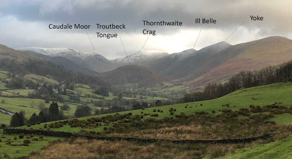
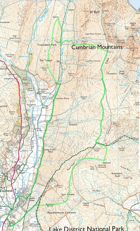
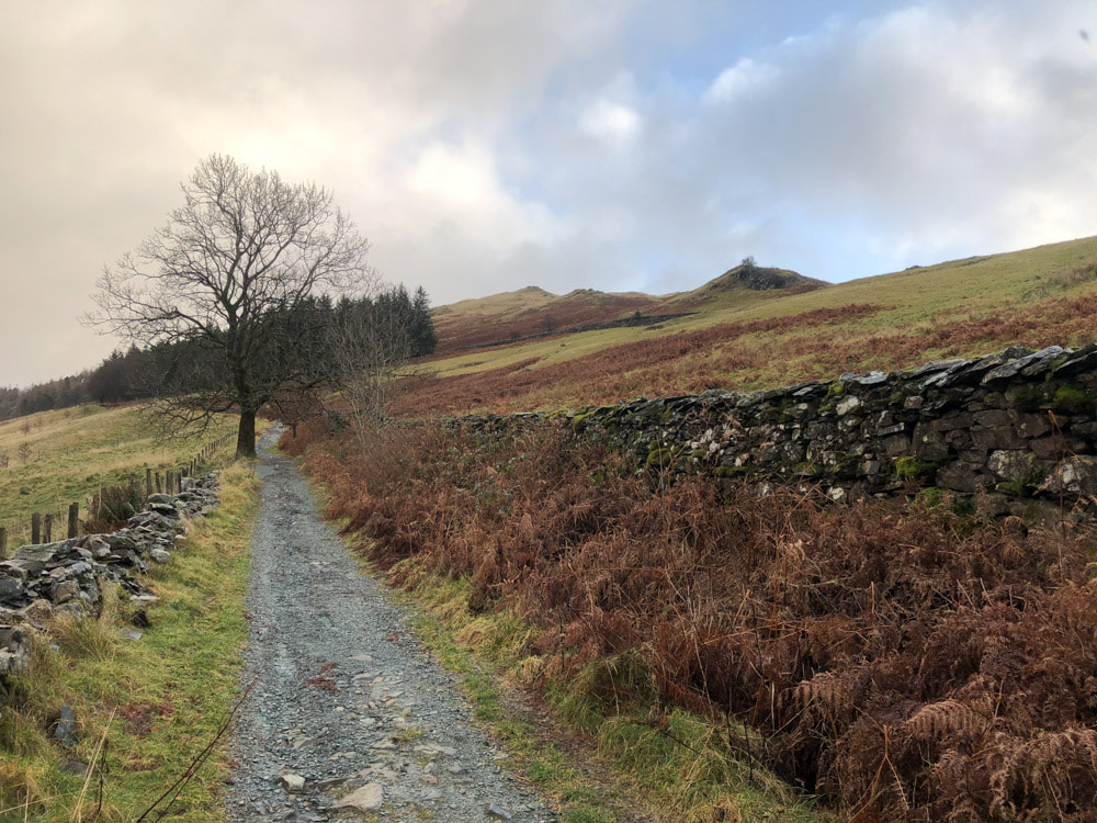
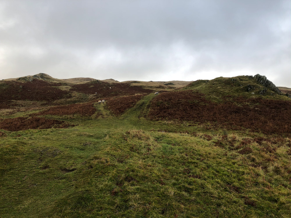
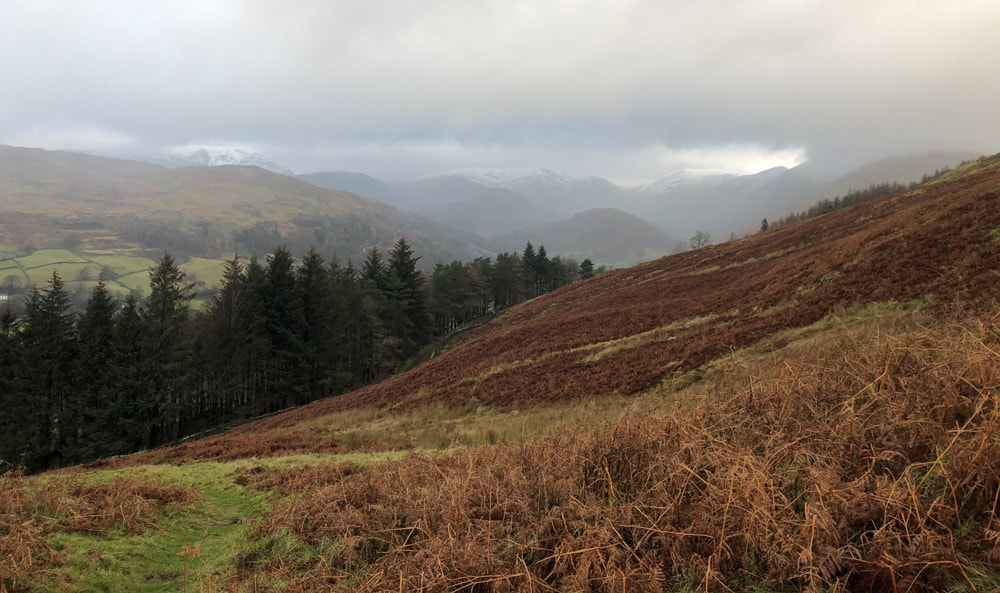
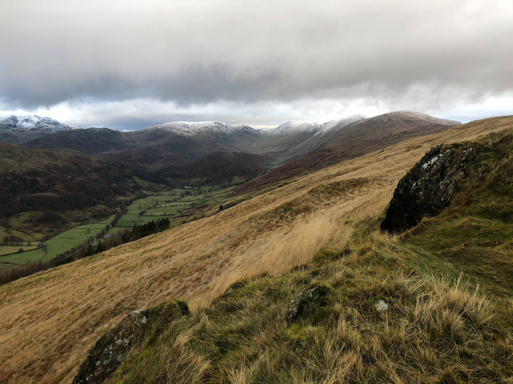
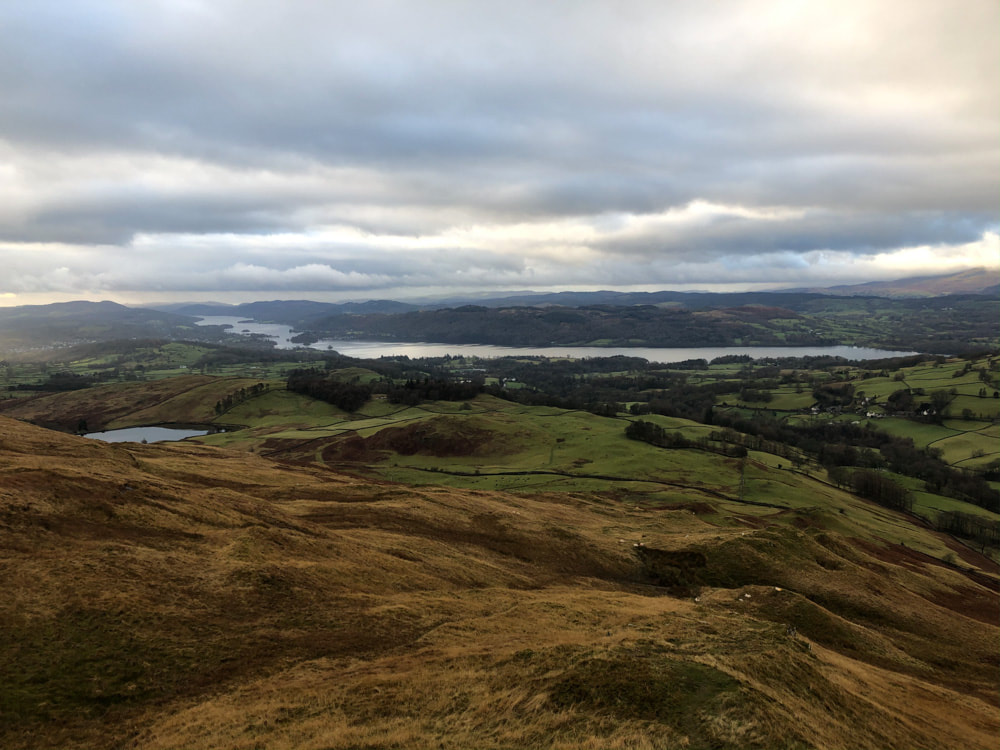
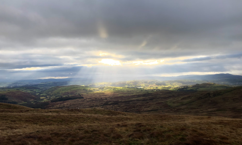
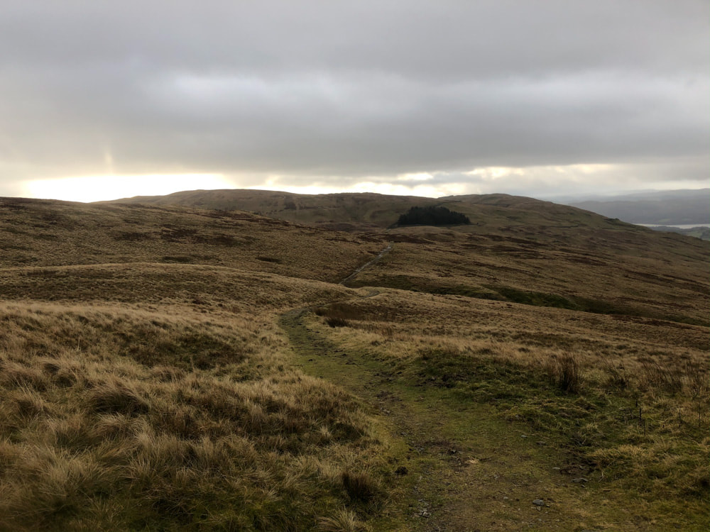
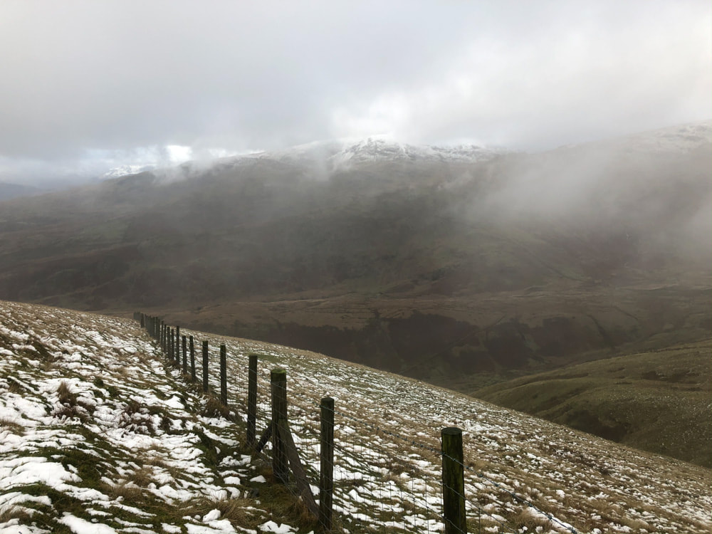
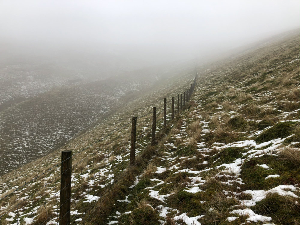
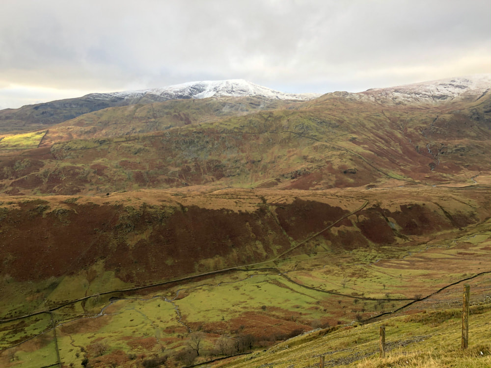
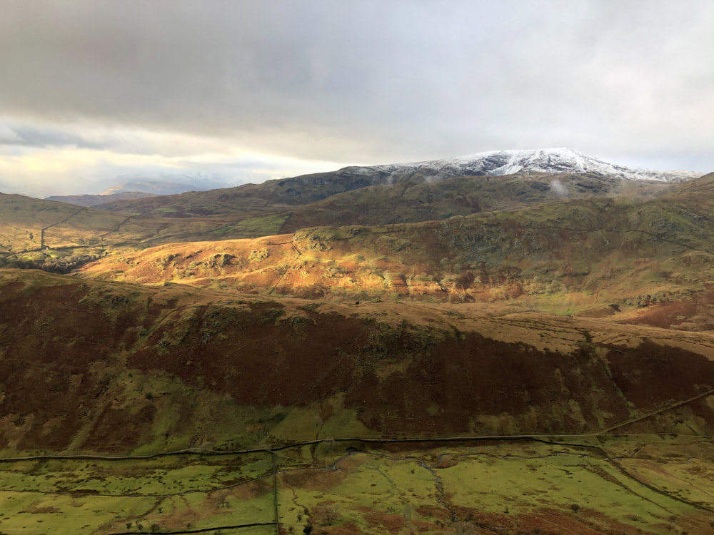
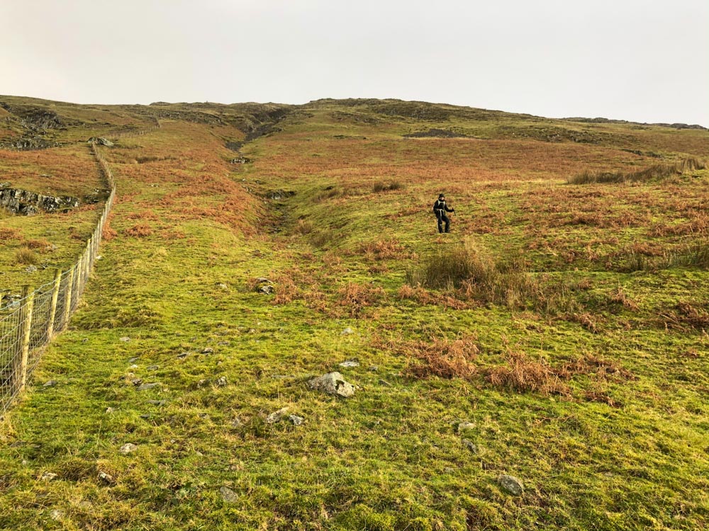
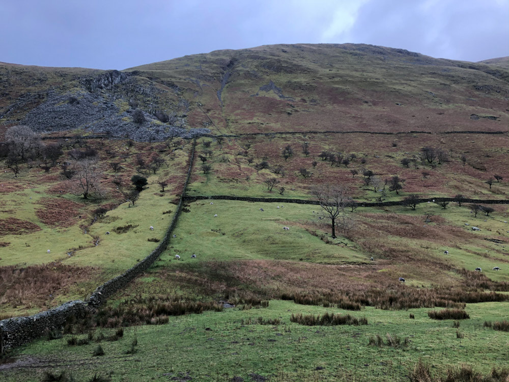
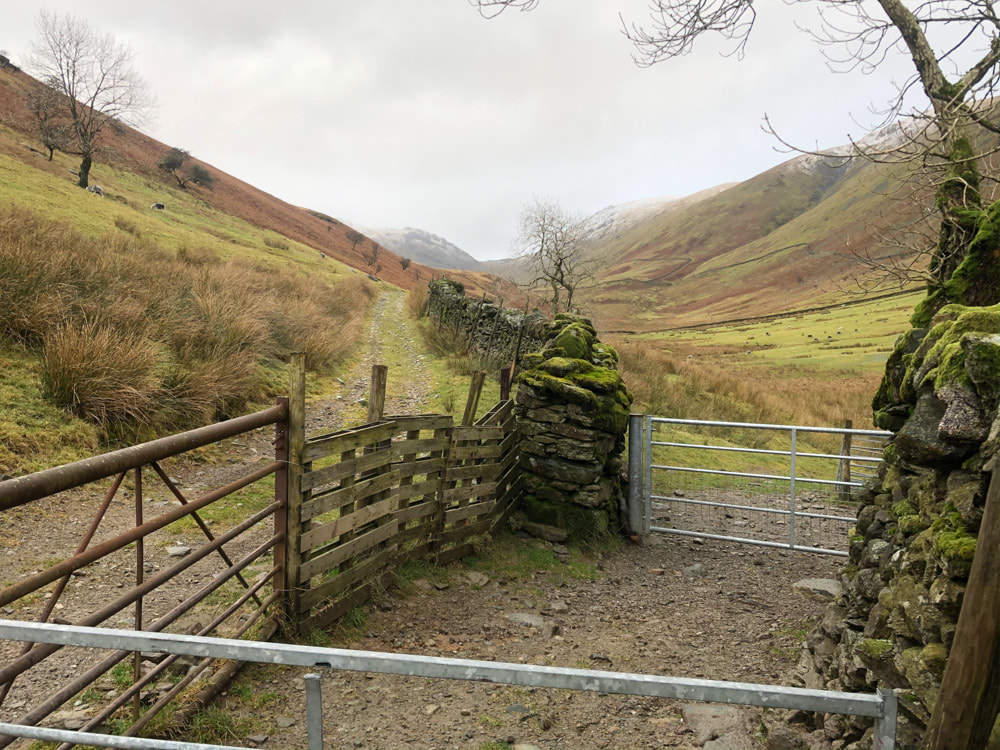
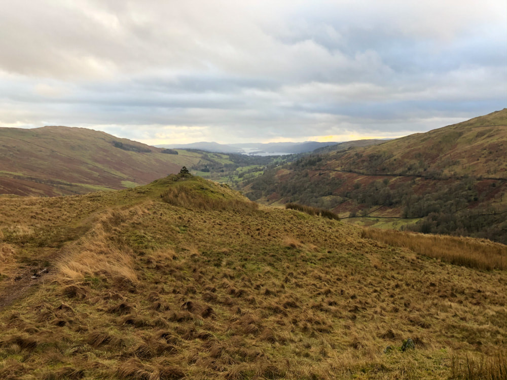
Although I have followed my usual practice and given this page the name of the highest peak on the circuit, climbing Yoke was incidental to the main purpose today - which was to bag 3 of Wainright's lesser hills. There is limited parking just off the A 592 on Greengate (the turning by Trout Beck to Troutbeck village). A short distance south of here on the opposite side of the A592 is the start of the Garburn Track. Take this until a ladder stile crosses a wall above the Limefitt holiday cabins. This stile marks the start of a path that leads to Sour Howes. From Sour Howes the path leads on to Sallows without any difficulty. From Sallows there is a clear path north to rejoin the Garburn Track. (A shorter and much easier walk would have been to return directly to Troutbeck along the Garburn Track). There are two track leading to Yoke from the Garburn Track. We headed for the left (West) of these and came to a barbed-wire topped fence that prevented us getting onto the Garburn Track which we followed over very boggy ground to find a place where the barbed wire had been removed to permit crossing. I suspect the "official" route would be to head for the right (East) track. From the Garburn Track to the summit of Yoke the track is well-marked and very easy to follow - unfortunately the mist and sleet enveloped us as we neared the top. The Lake District ap I use shows a track leading west directly from the summit of Yoke - no such track exists on the ground. We headed east anyway and descended towards a steep gully with a disused quarry, eventually arriving at a barbed-wire topped fence line and finding that the path we were wanting was the other side of the fence. We made a very slow descent of the steep grassy/bracken slope, snow-covered in places. We didn't find a place to cross the fence until we were nearly all the way down - but the 'path' didn't look any easier anyway. The next hazard was Hagg Gill, the stream at the valley floor - there is no bridge and it was flowing fast - nevertheless we were able to leap it without getting our feet any wetter than they already were. After stopping for lunch we followed the main track north for ~400m where a diagonal branch ascends the northern end of Troutbeck Tongue. Once on the ridge of the tongue we turned back south to find the summit. After descending the steeper southern end of the tongue we recrossed Hagg Gill on a footbridge to join the main track south on the eastern side of the gill. From here it was a straight 3.5km yomp back to the car - the pleasure of which was substantially dampened by persistent rain.
Click on an image below to enlarge and scroll through.
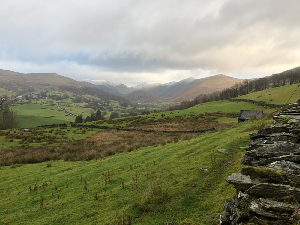
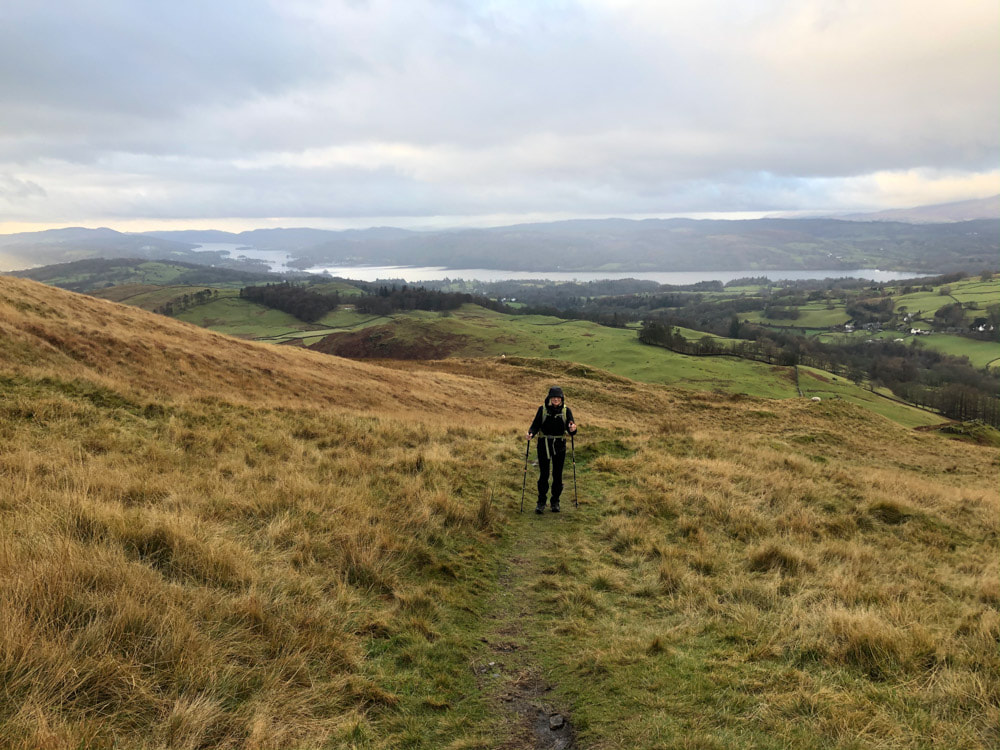
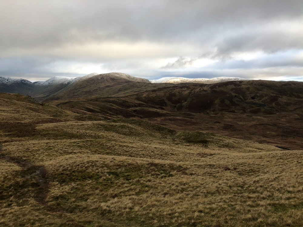
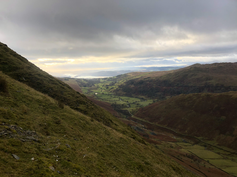
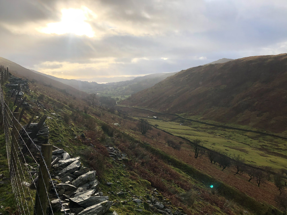
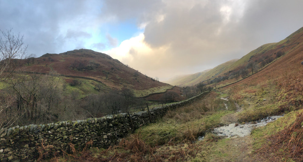
Looking back with Troutbeck Tongue to the left
