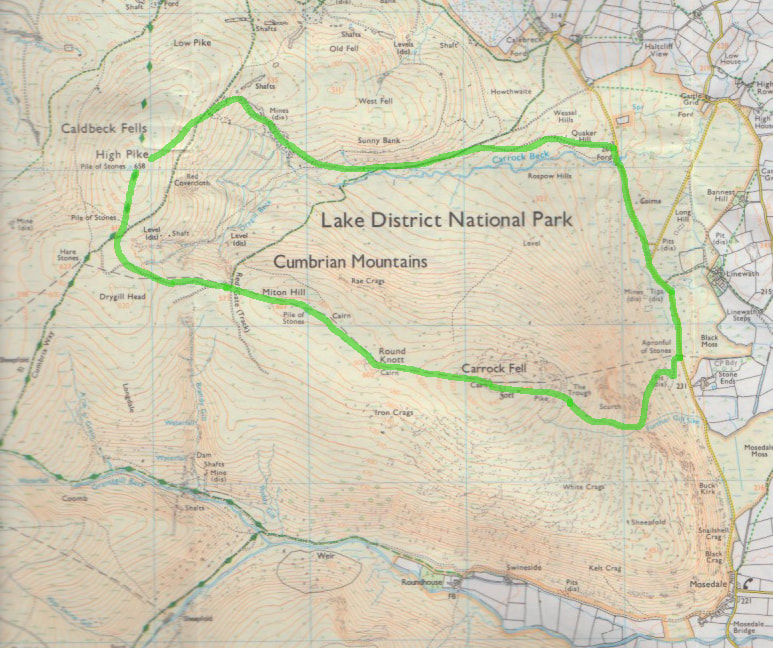
Carrock Fell (663m) and High Pike (658m) - 25/04/2018
Distance: 10km; Ascent: 500m; Time: 4h
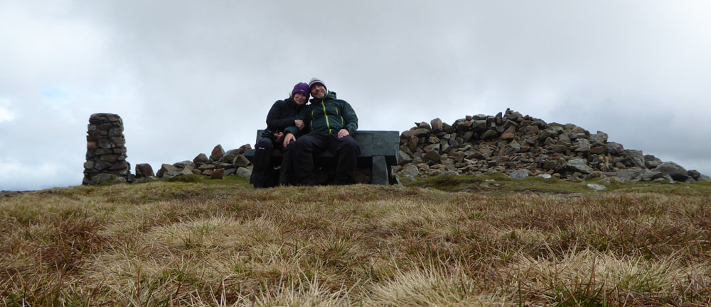
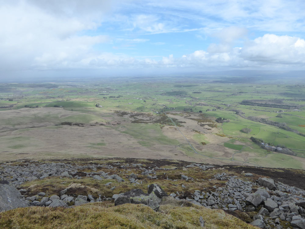
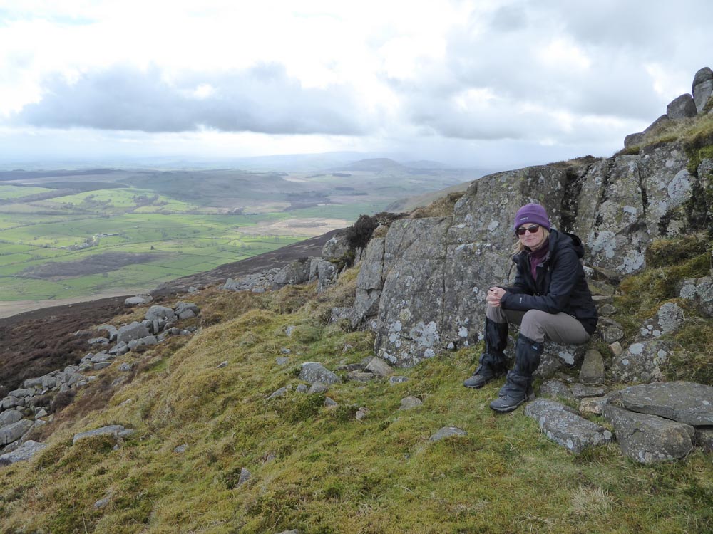
At the summit of High Pike
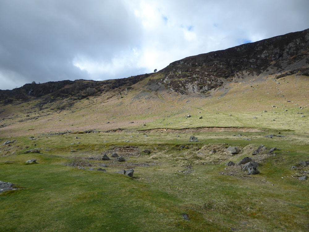
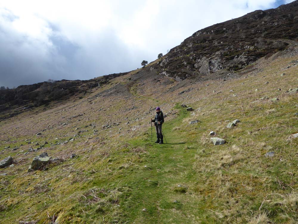
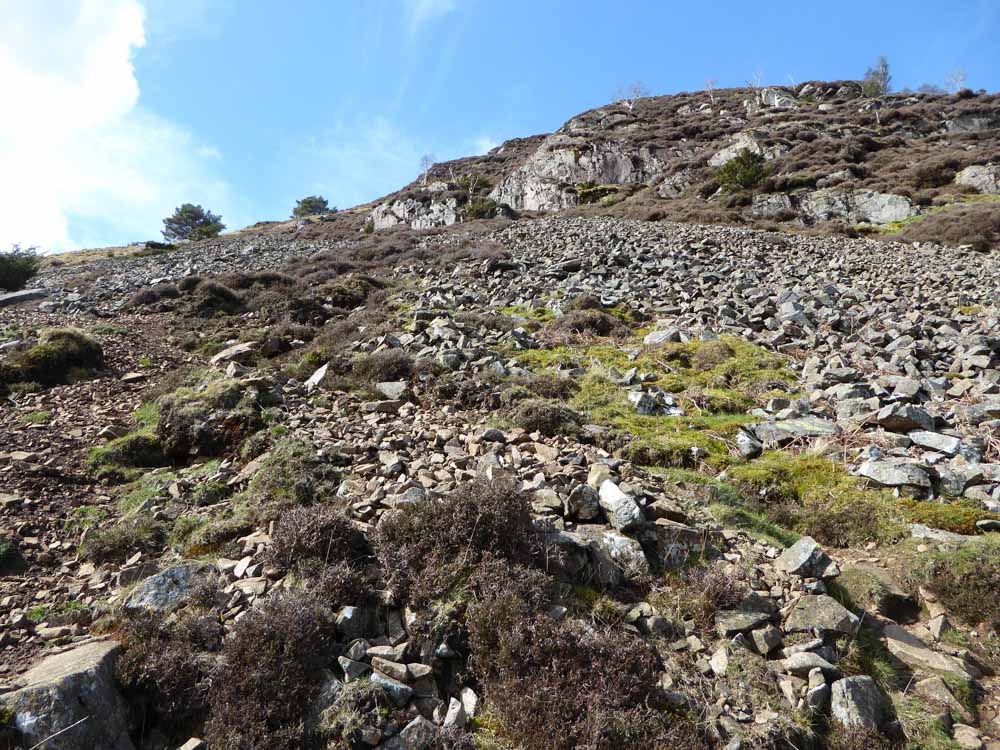
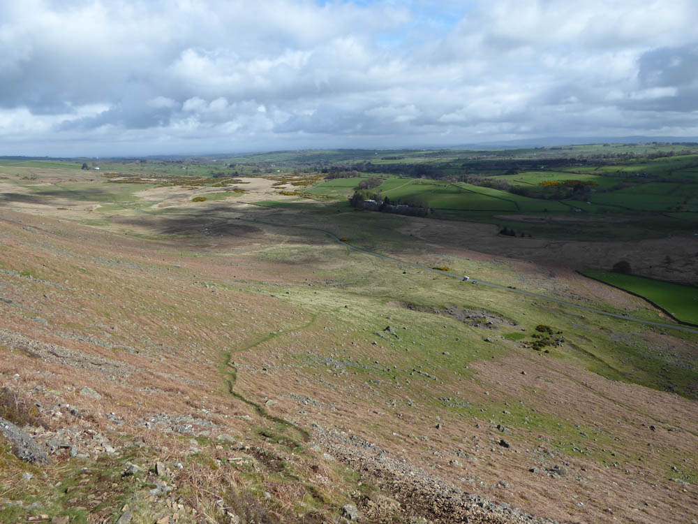
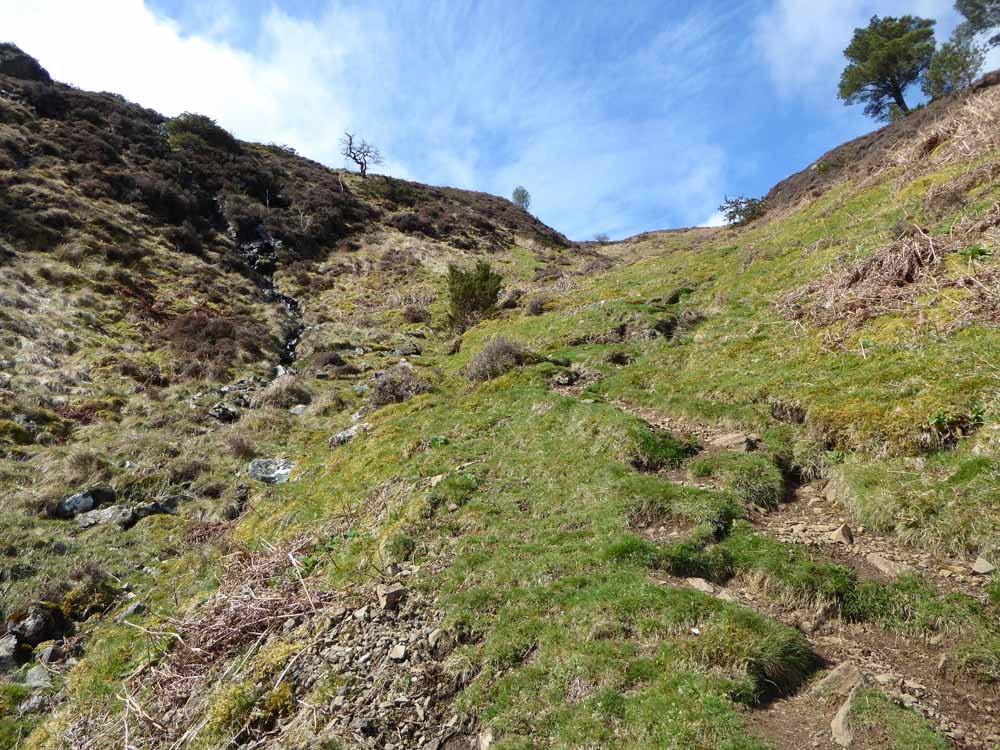
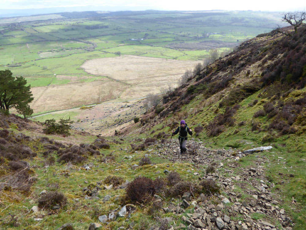
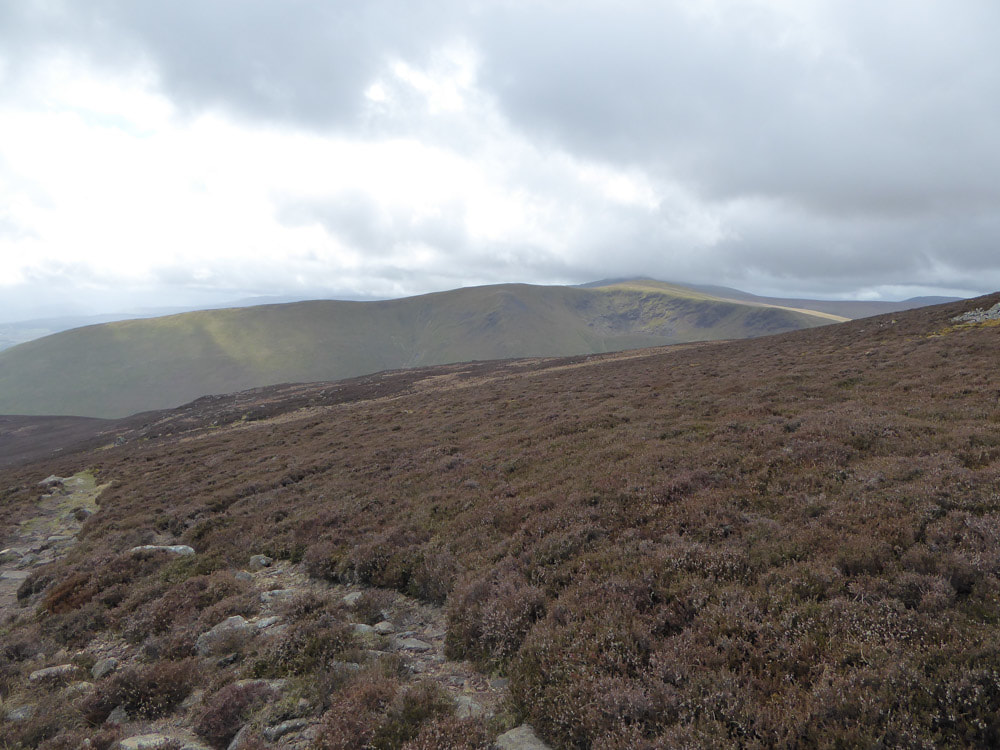
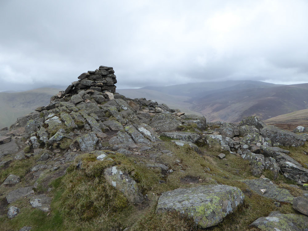
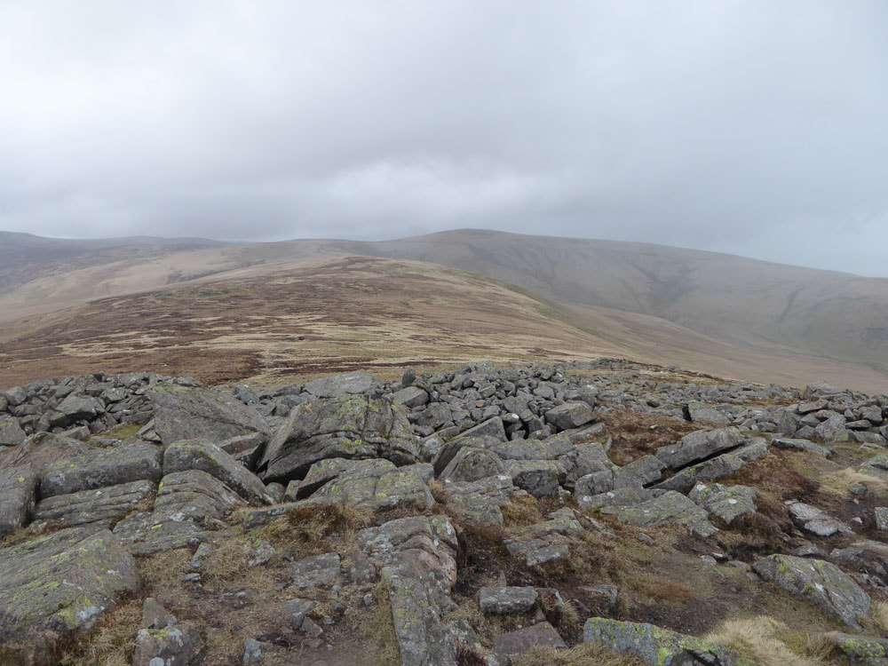
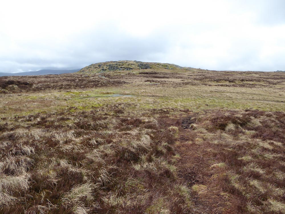
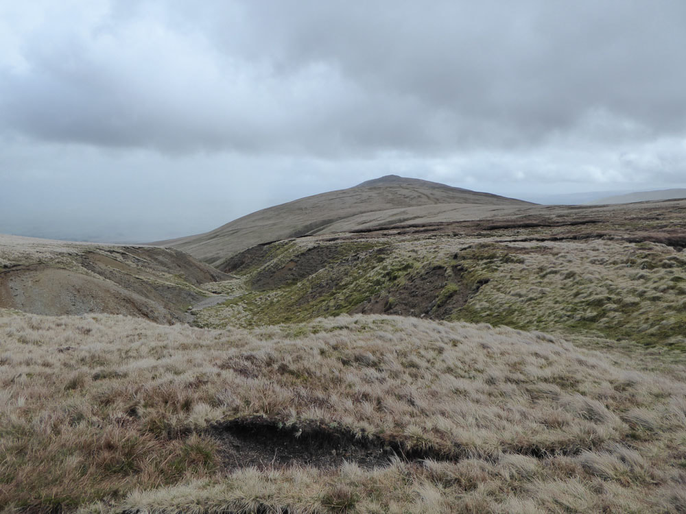
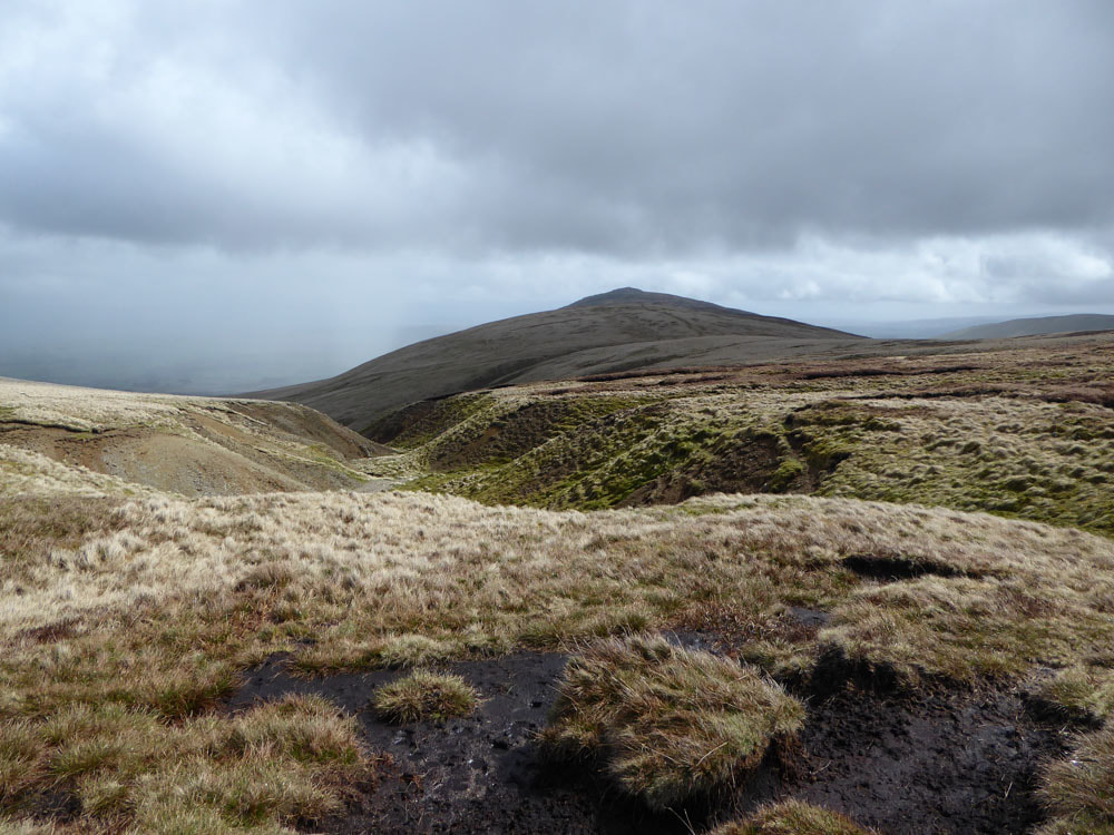
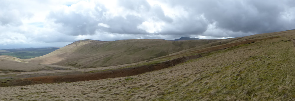
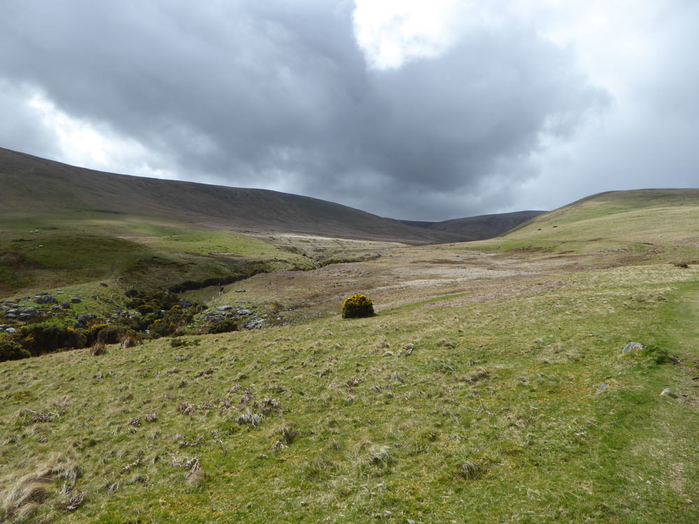
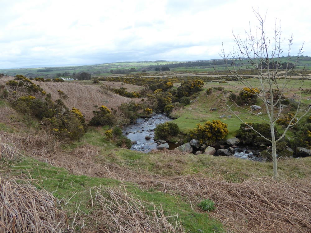
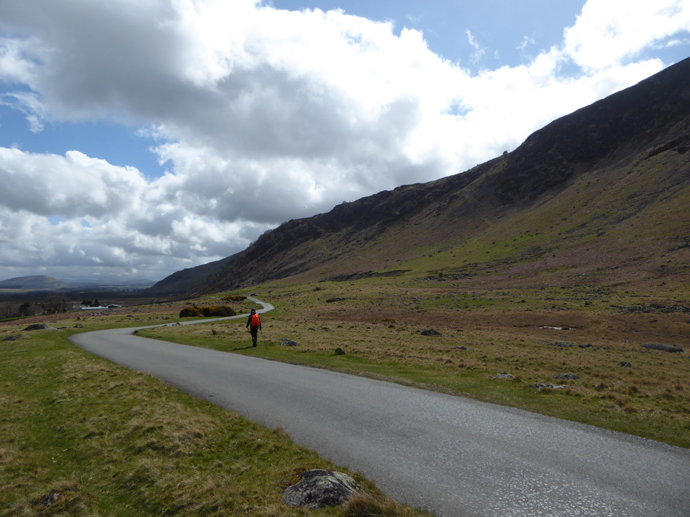
We parked ~1.5km north of Mosedale at NY354337. From here a steep path ascends north of Further Gill Syke eventually emerging from its gully with views of Carrock Fell ahead, Bowscale Fell to the south and the vast plain of the Eden Valley to the east. Beyond the summit of Carrock fell the springy peat bog of the undulating plateau made for rapid progress across the minor tops of Round Knott and Milton Hill with High Pike clearly visible ahead. Eventually we joined the Cumbria Way to the summit of High Pike, where we stopped for lunch. For the descent we cut across (on a clear path that is not marked on the OS maps) to the track leading from disused mines along the north side of Carrock Beck. This leads back down the road and an easy walk back to the car. WIldlife seen included Several Red Grouse and Wheatear.
Click on an image below to enlarge and scroll through.