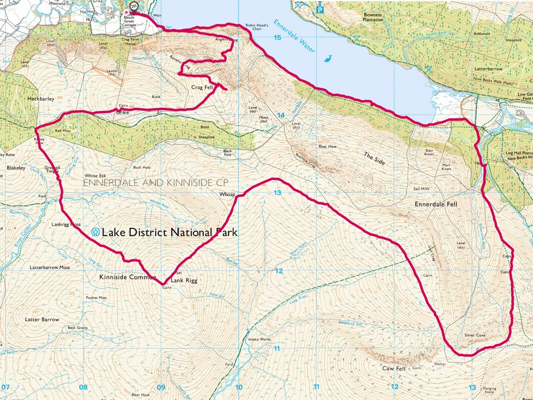
Crag Fell (521m), Grike 486m, Lank Rigg (541m), Caw Fell (697m) - 01/05/2021
Distance: 23.5km; Ascent: 1400m; Time: 8h
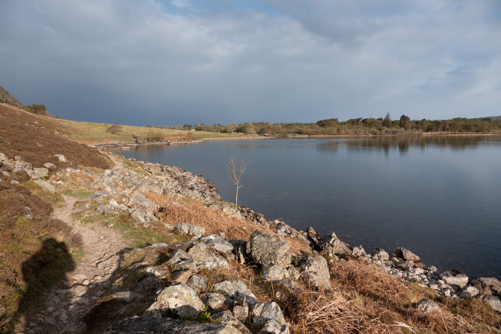
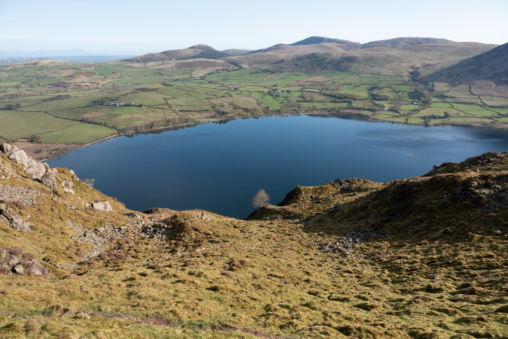
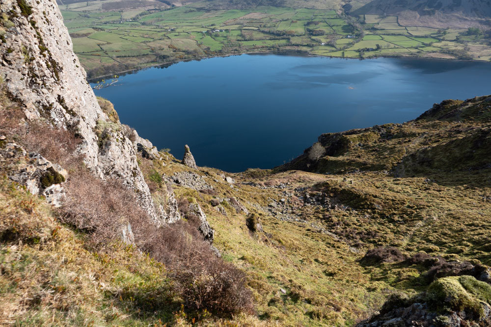
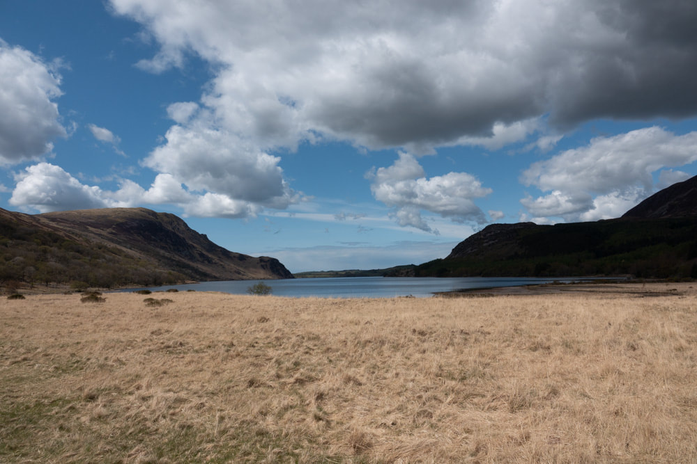
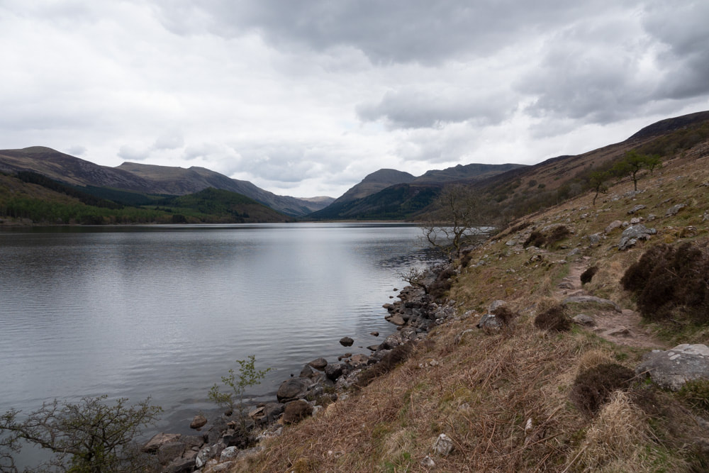
Ennerdale Water from Anglers Crag
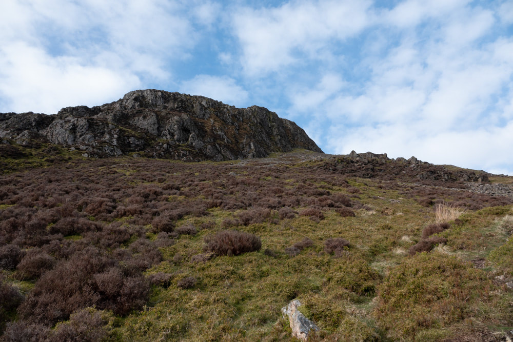
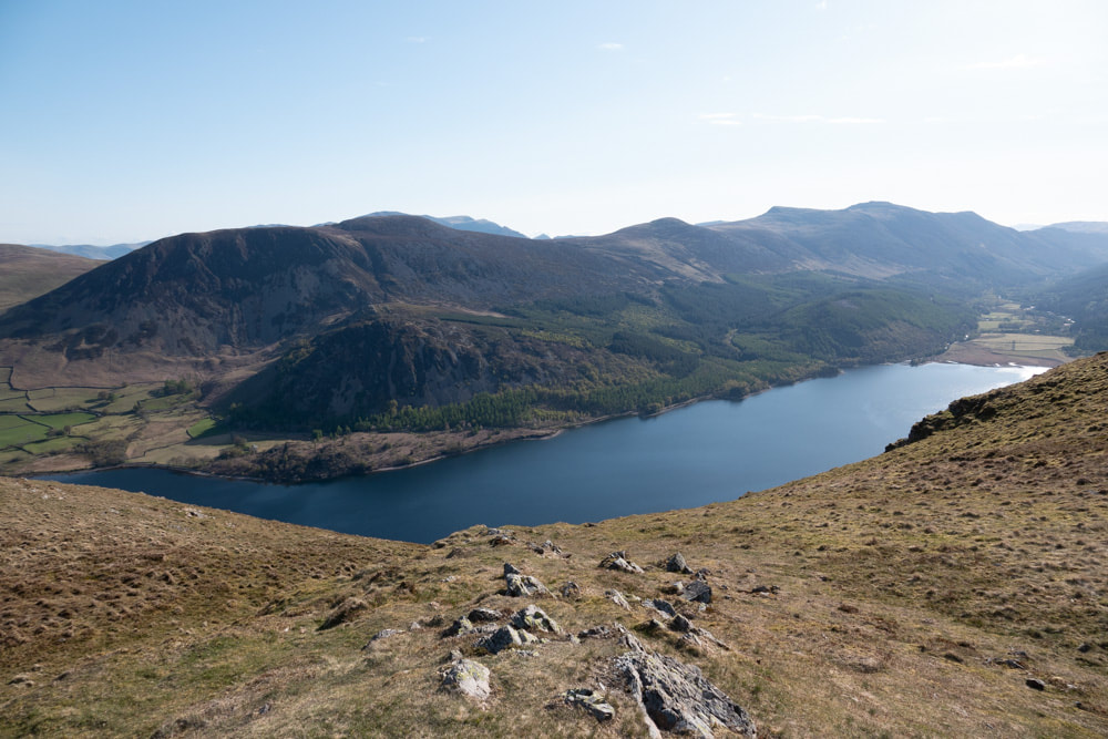
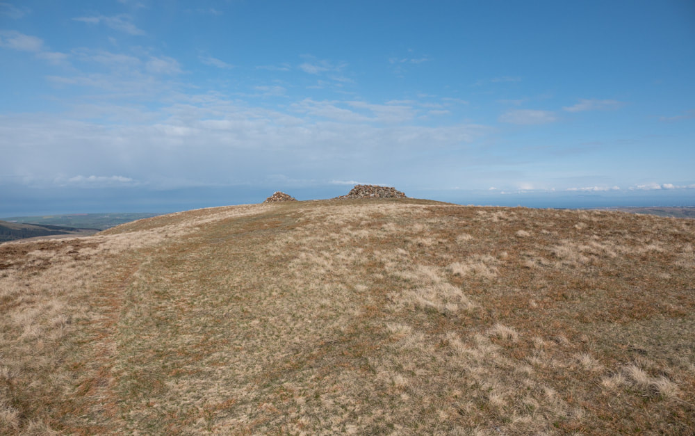
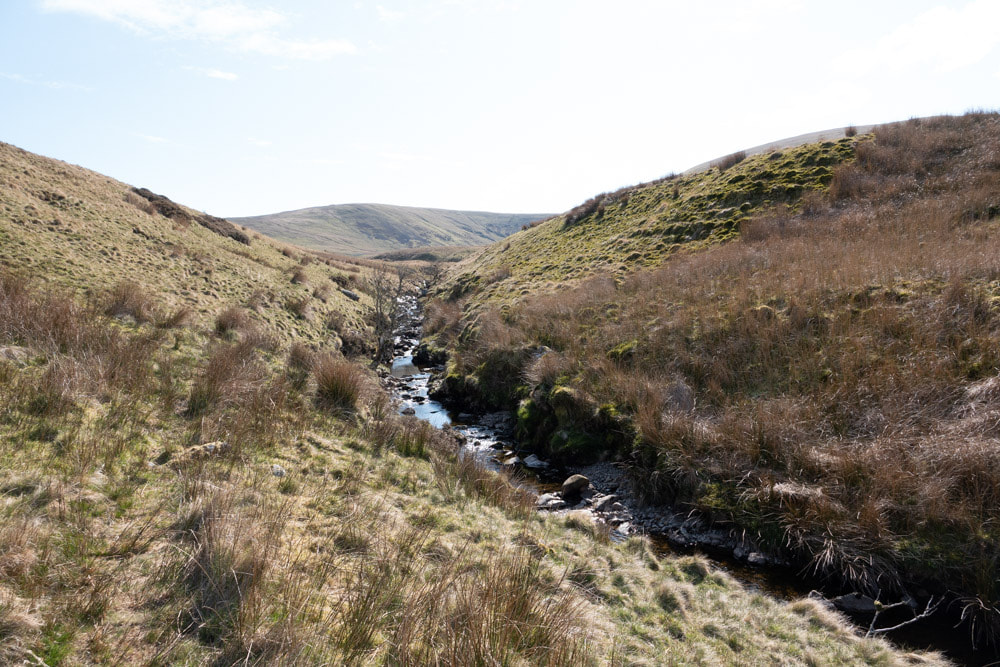
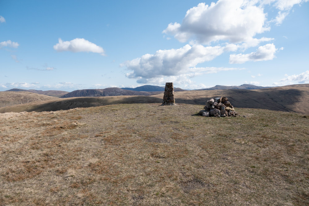
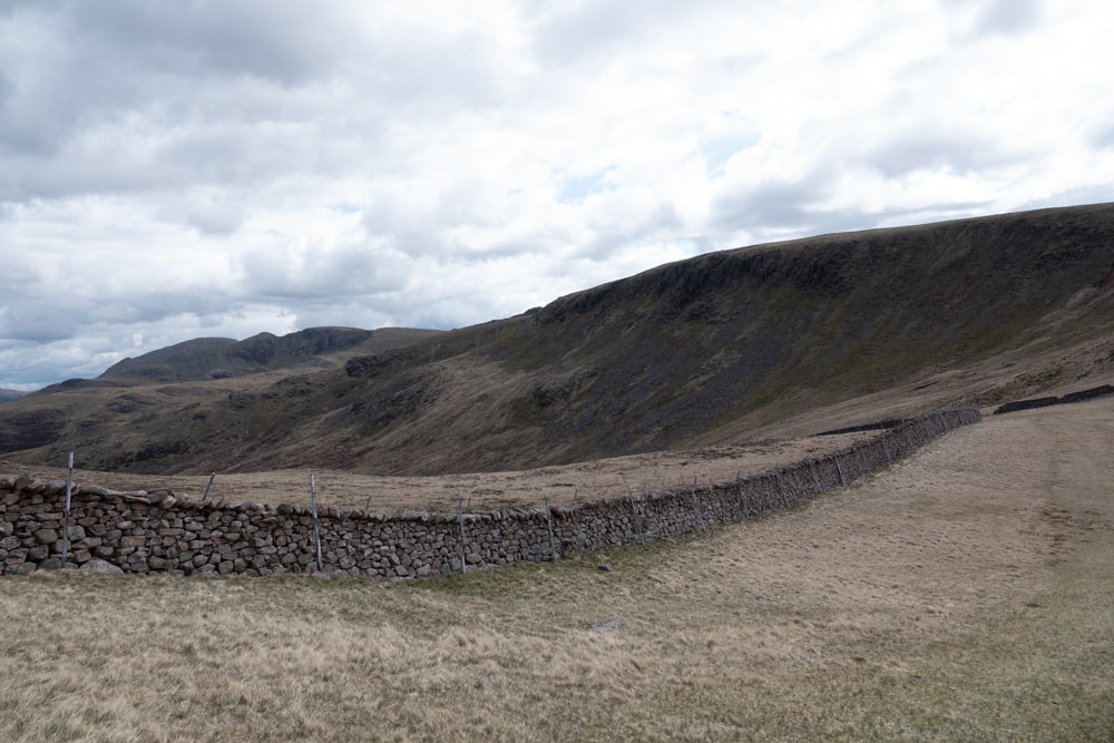
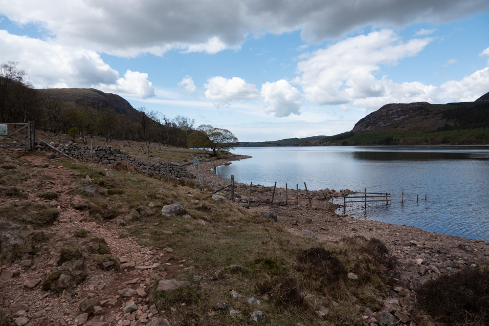
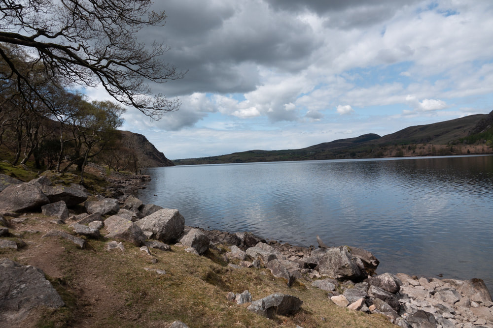
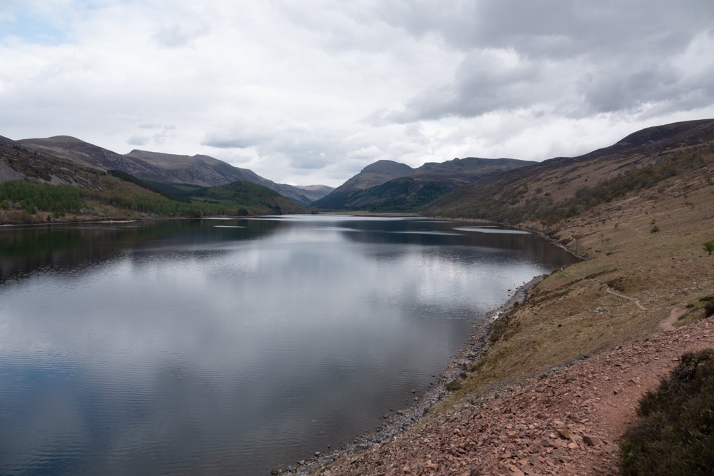
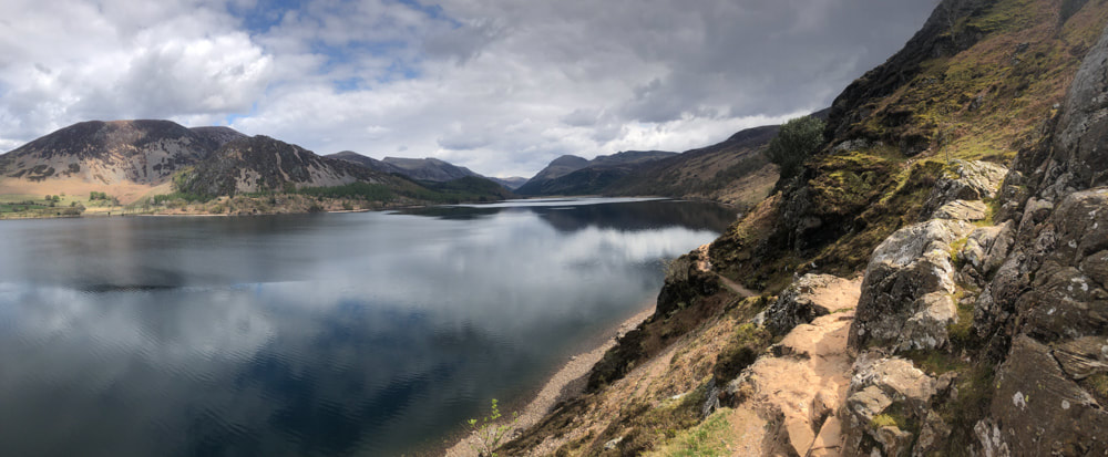
I parked in the Bleach Green car park at Ennerdale Water (free). Following the lake shore path a track rises up the west side of Anglers Crag and then heads steeply uphill, reaches a traverse to avoid the precipitous rock face of Crag Hill and joins a path (alternative route from the car park) to the summit. From here the route on to Grike is quick and easy. From Grike go west to join a clear track, fenced on both sides, to the narrowing of the forestry. Here the footpath continues north of Blakely Rise, joins a road to its west and then another footpath to its south leads to Lank Rigg - this is the route that should be taken if it has rained much recently. I joined a sheep track across the moor with 2 stream crossings and on across Lank Rigg Moss - pathless but easy enough in the prevailing fry conditions. From the top of Lank Rigg, Caw Fell looks a long way off. I followed the broad ridge down and then up the hummock labelled Whoap; then a steady ascent to Iron Crag; then down a little and a steep ascent to Caw Fell. Then the long descent on a clear but eroded track to the lake shore. I had thought that the path back along the lake shore would be a simple walk out - but it is uneven and rocky and even involves a bit of scrambling around Anglers Crag.
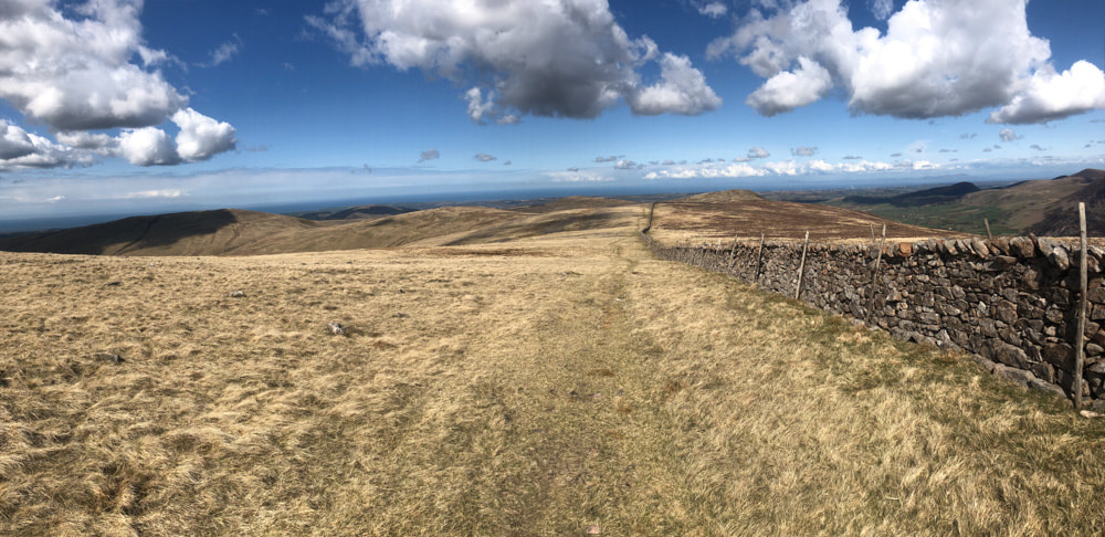
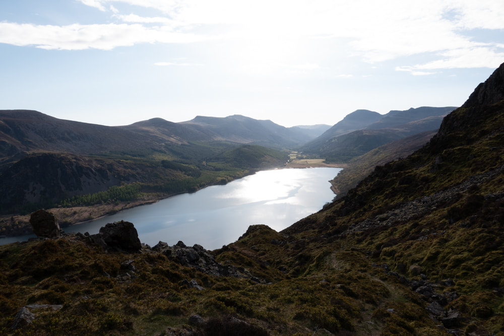
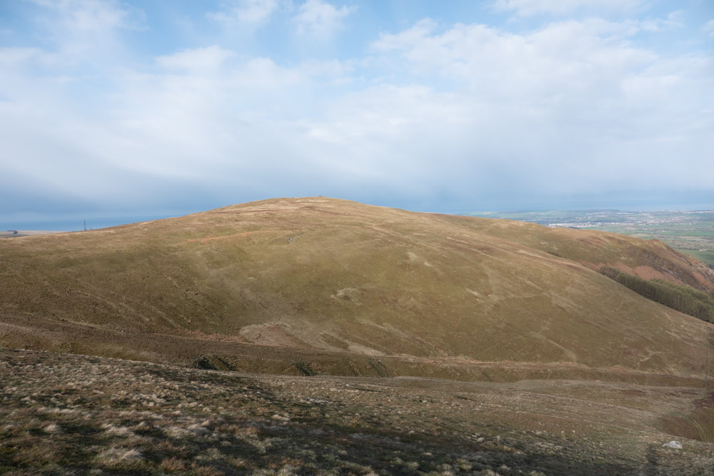
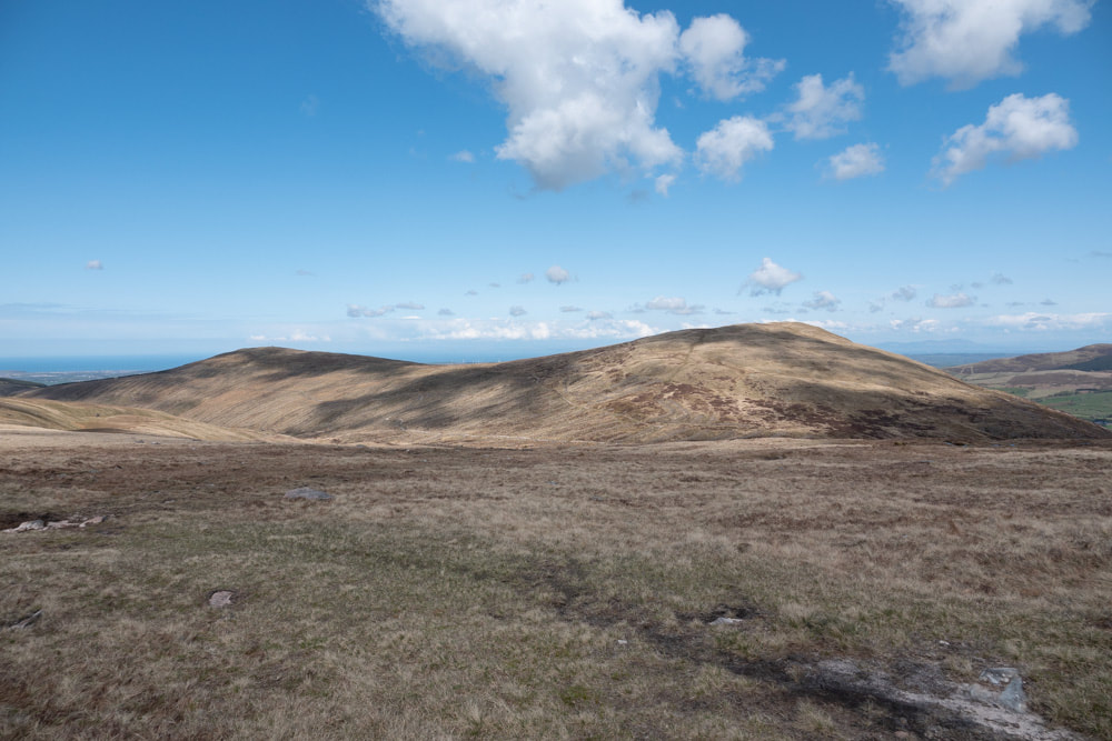
Looking back along the ascent to Iron Crag, with Lank Rigg (left, partially in shadow), Whoap, Grike and Crag Hill (right of the wall) in the distance
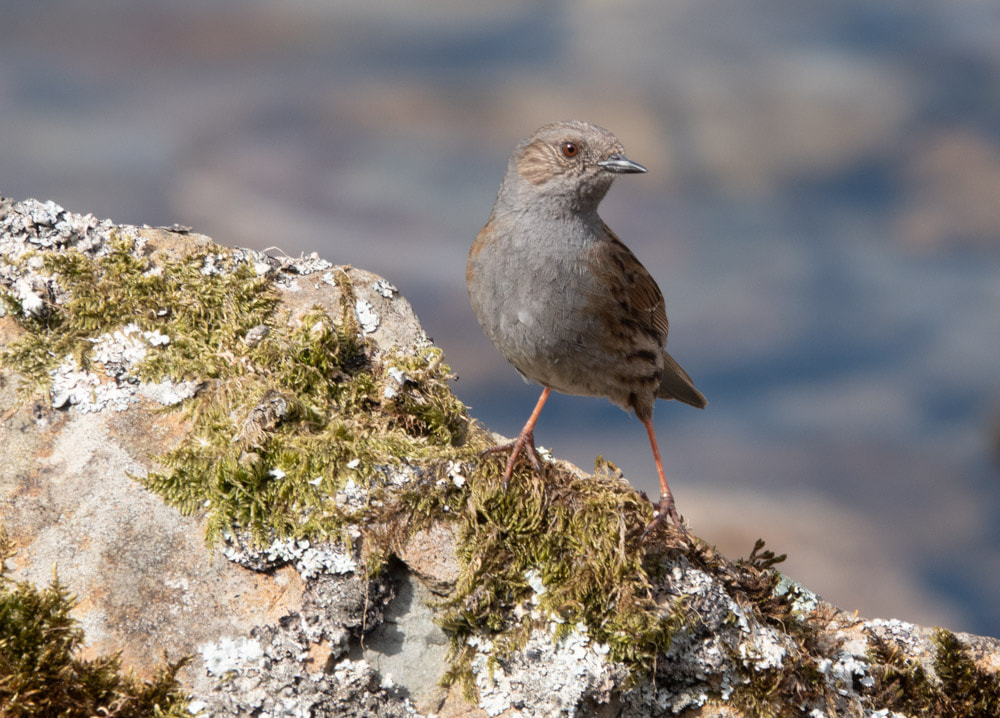
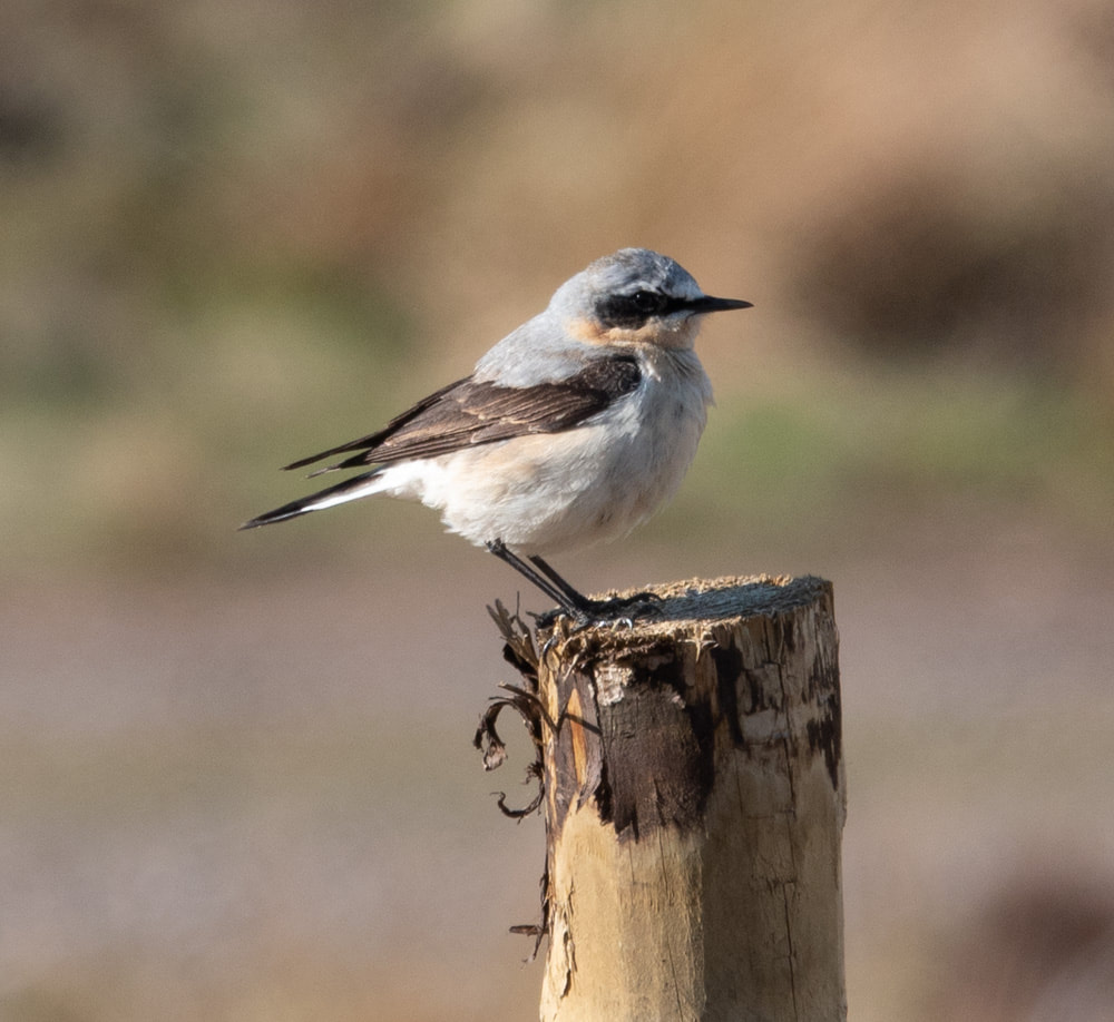
I year-ticked Dipper, Cuckoo and Pied Flycatcher while walking along the lake shore: Dunnock and Wheatear were more obliging for photography.
|
|
Click on an image below to enlarge and scroll through