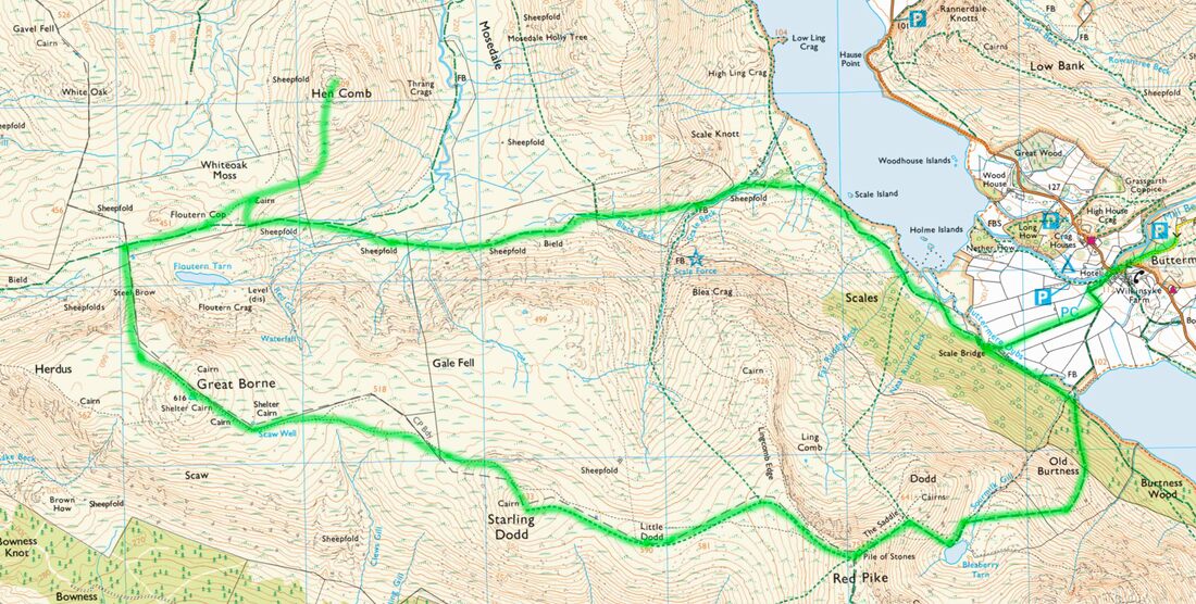
Red Pike (755m), Starling Dodd (633m), Great Borne (616m), Hen Comb (509m) - 12/05/2019
Distance: 18km; Ascent: 950m; Time: 6h
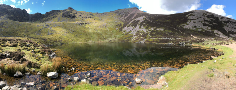
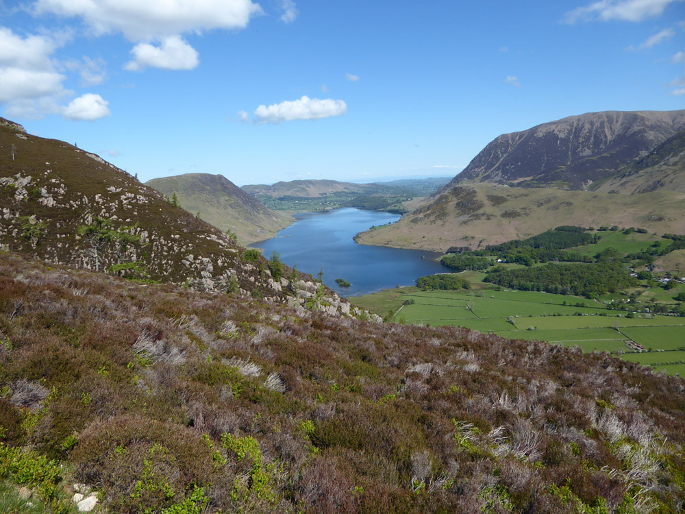
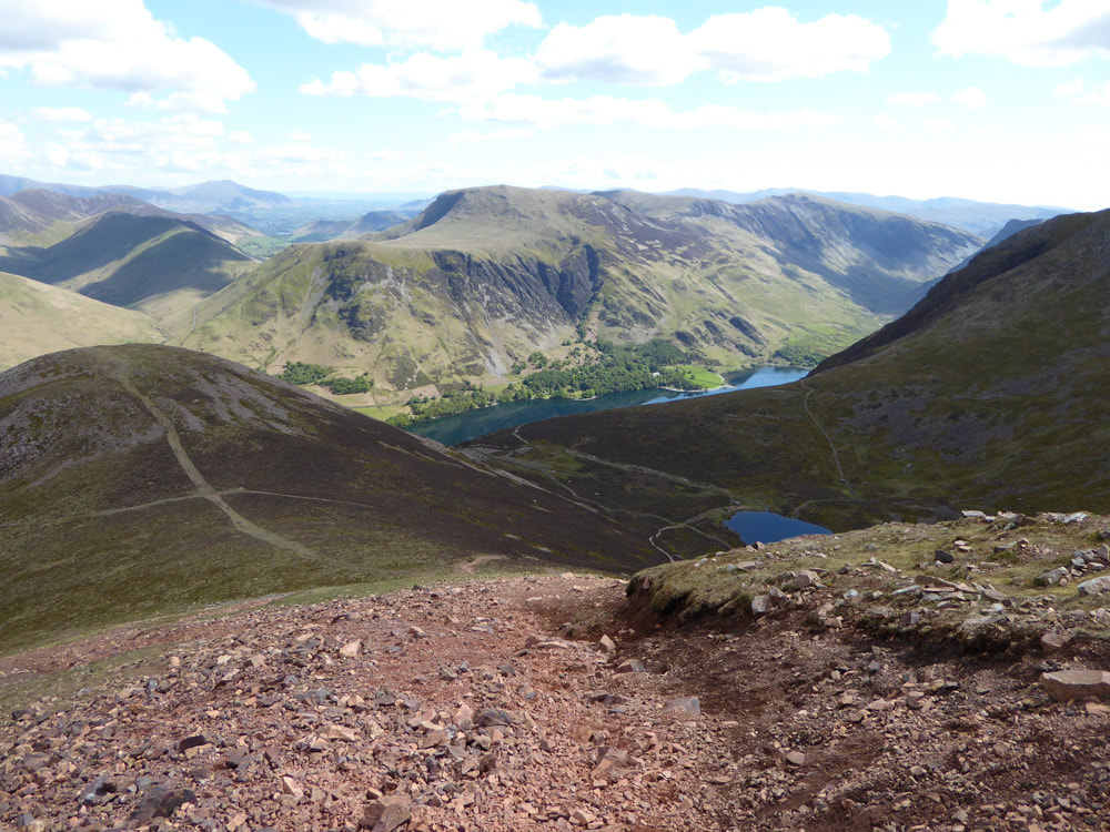
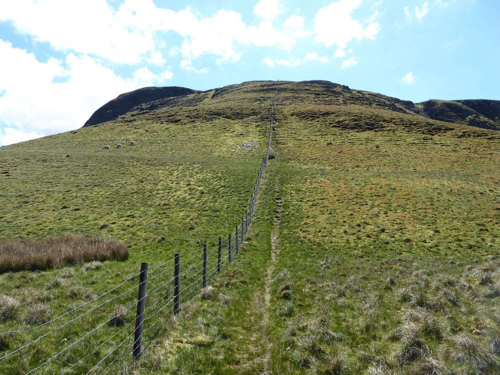
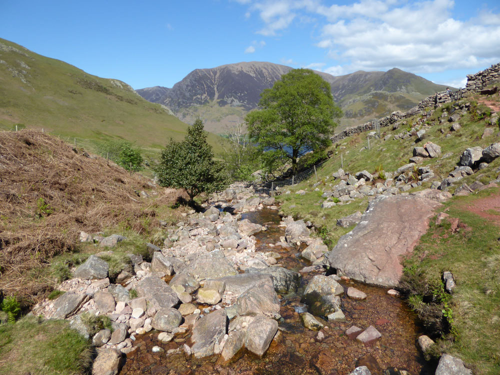
Red Pike from Bleaberry Tarn
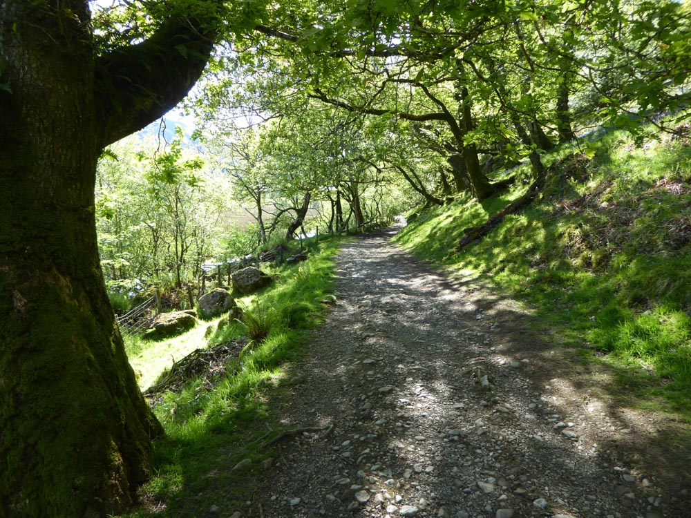
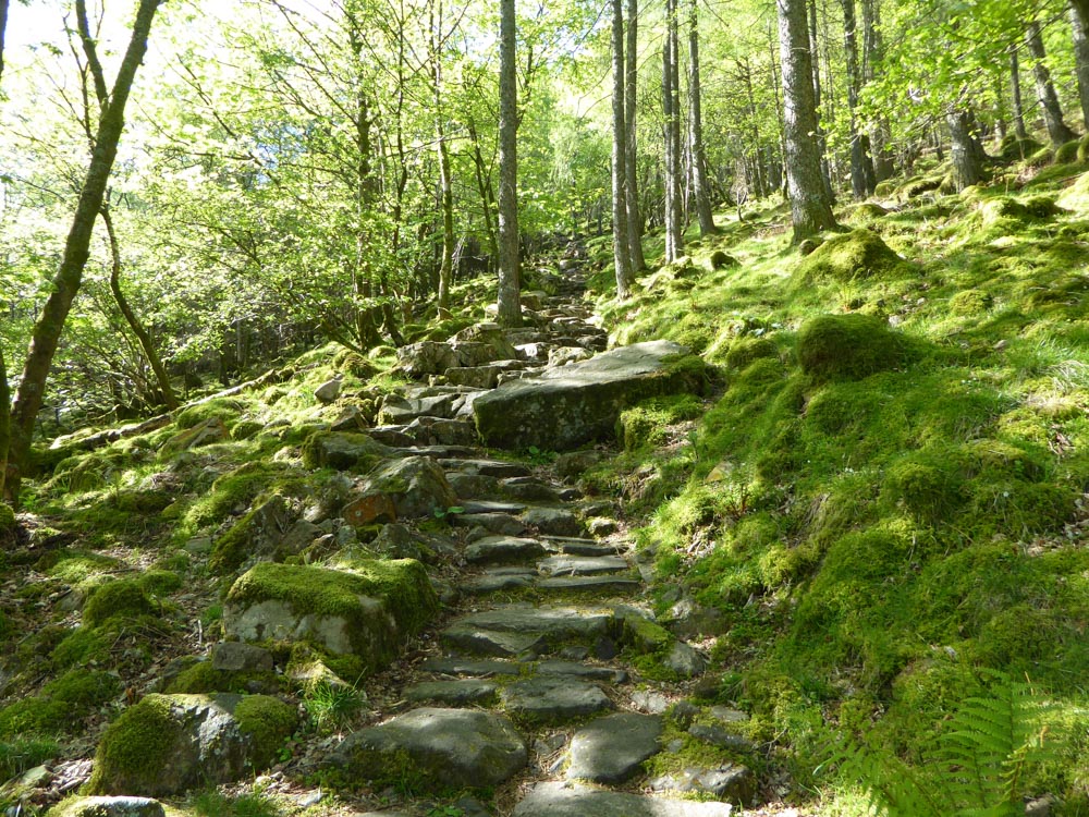
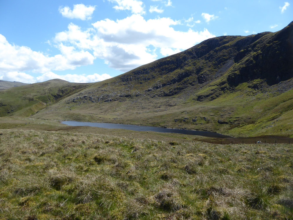
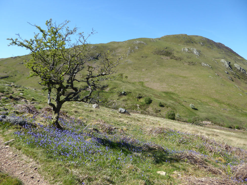
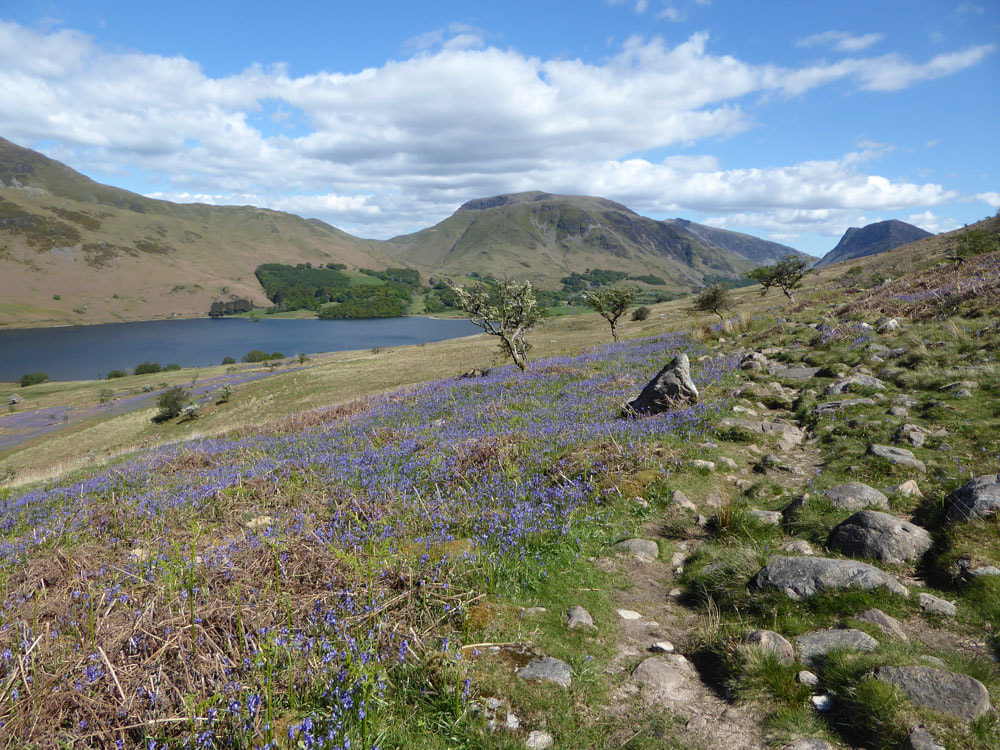
After an unseasonable long cold spell - a warm, calm, bright day. The journey to Buttermere was slowed somewhat by 2500 cyclists doing a race along the mountain passes, but I had made a fairly early start and didn't have too much trouble. Considering the glorious weather and it was Sunday, there were surprisingly few people in the hills. When visiting Buttermere it is best to park on the Newlands Pass road - I can't bring myself to pay £8 to park the car in the village. Walk the track to the far (west) side of the lakes. There are (were?) two bridges - the more south-easterly is currently out-of-action (absent?). As you come to the start of Buttermere lake, the track to Red Pike leaves to the lake shore path and ascends steeply on a clear good stone path. Initially this passes through woodland (Red Squirrels) and then emerges onto the open fells with a good mix of heather and cowberry (Common Heath). Once past Bleaberry Tarn the track is not so good, becoming steeper with loose scree. Views from the top are extensive. A regular route from Red Pike is to head SE for High Stile, but today I headed west for Starling Dodd and Great Borne. These are reached on mostly good striding-out slightly boggy grassland. The descent of Great Borne is surprisingly steep, especially down Steel Brow (although not so surprising if you study the map in more detail before you leave!). Floutern Tarn can be glimpsed on one part of the descent, but it can't really be seen properly until you are right down in the valley. I made the short ascent of Hen Comb just because I have never done it before, but this could easily be bypassed. Back on the main track `(Green Hairstreak) through the valley watch out for a fork - the left fork is better marked but turns north up Mosedale, the right fork heads for a simple river crossing and then keeps to the base of the cliffs, passing the Scale Force waterfall and ending up back on the lake-shore path. The slopes around here had a magnificent display of bluebells.
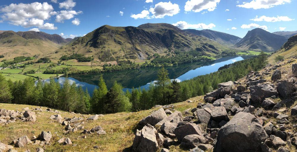
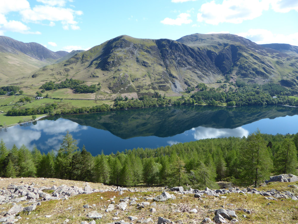
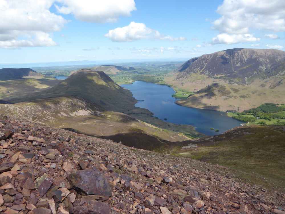
Buttermere from the ascent of Red Pike (Robinson is ahead centre, Fleetwith Pike is to the right of the picture)
Click on an image to enlarge and scroll through
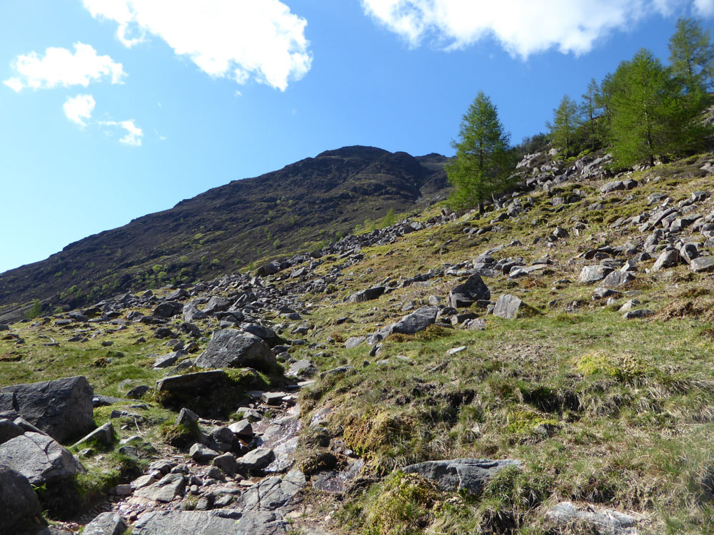
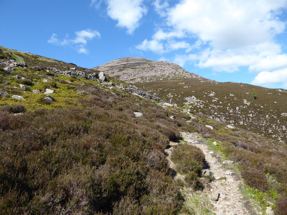
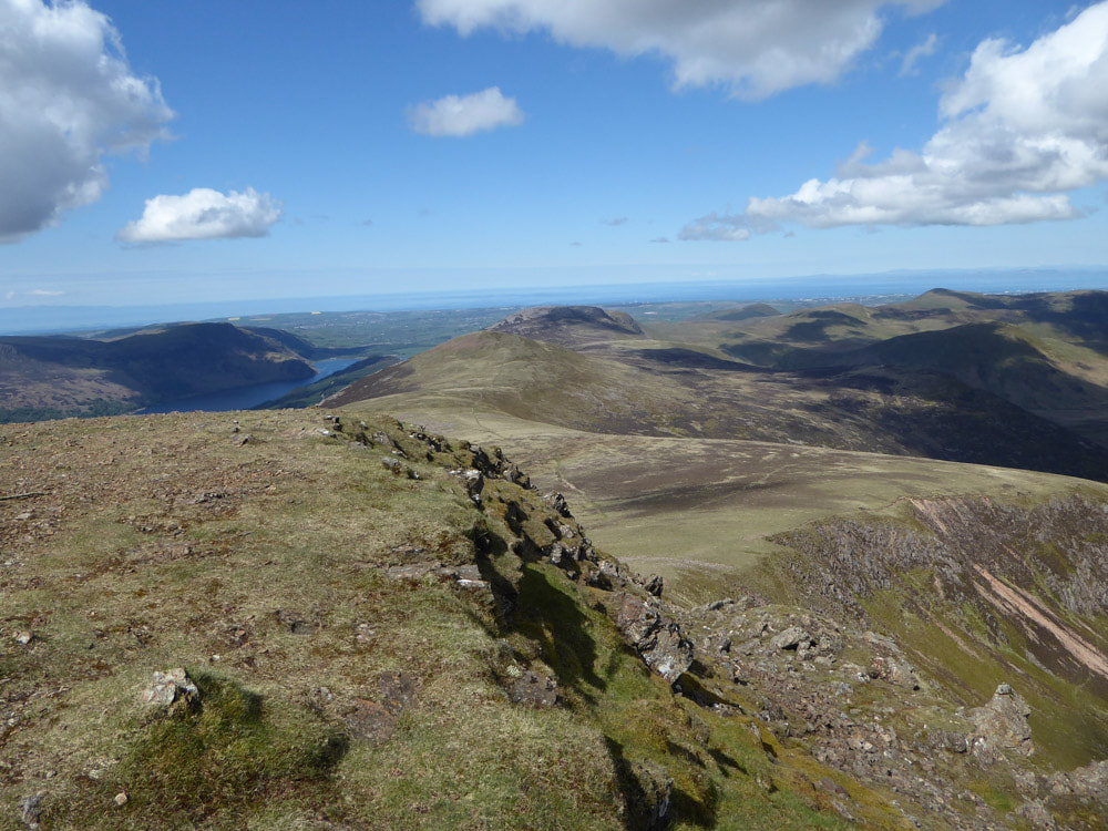
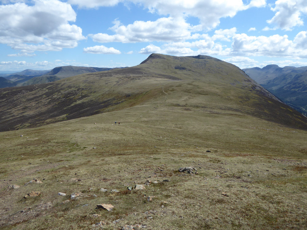
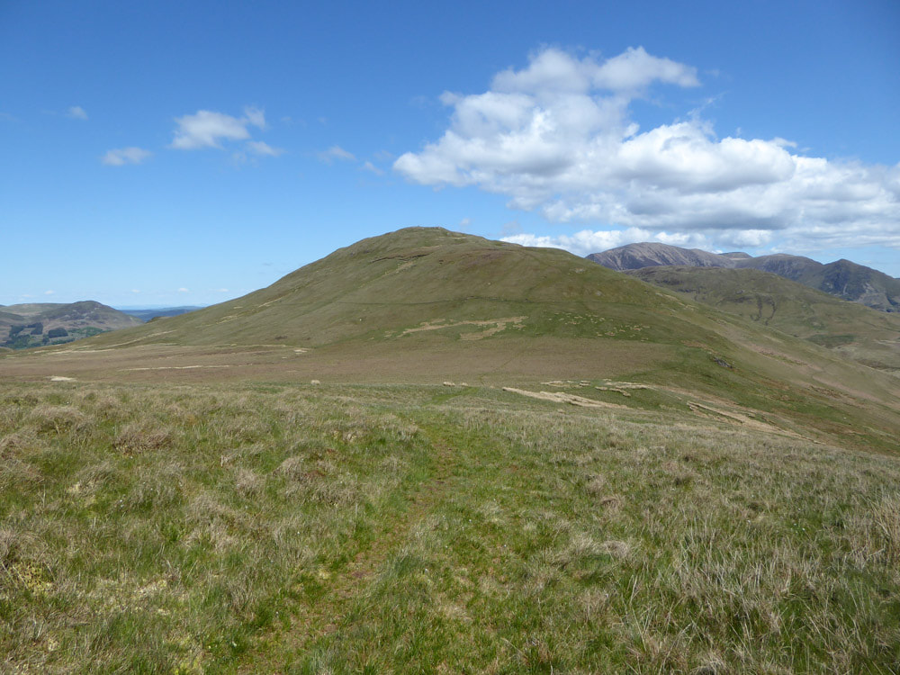
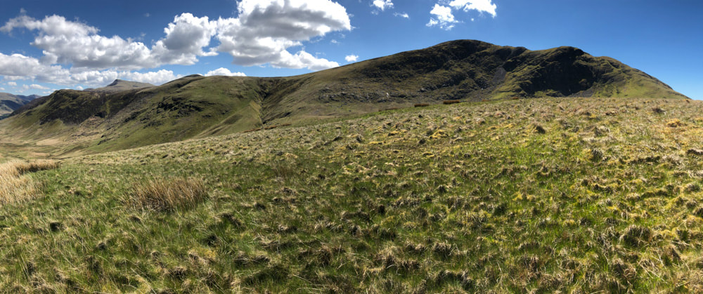
Left - Red Pike then Starling Dodd, right - Great Borne
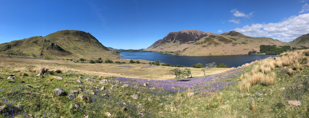
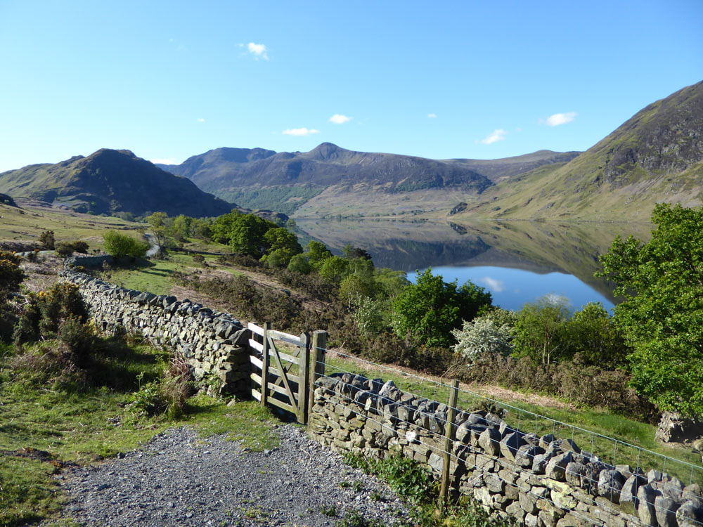
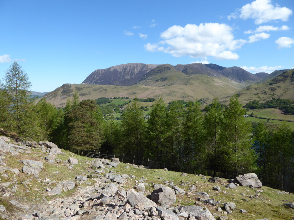
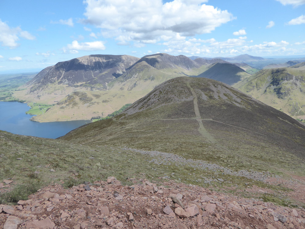
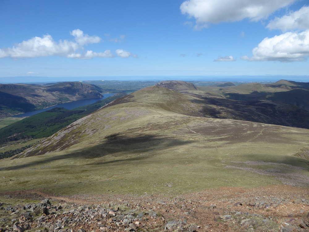
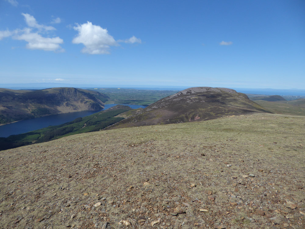
Crummock Water with Melbreak (left) and Grassmoor (right)
