Raven Crag (463m) and Armboth Fell (479m) - 01/12/2021
Distance: 10km; Ascent: 350m; Time: 4h
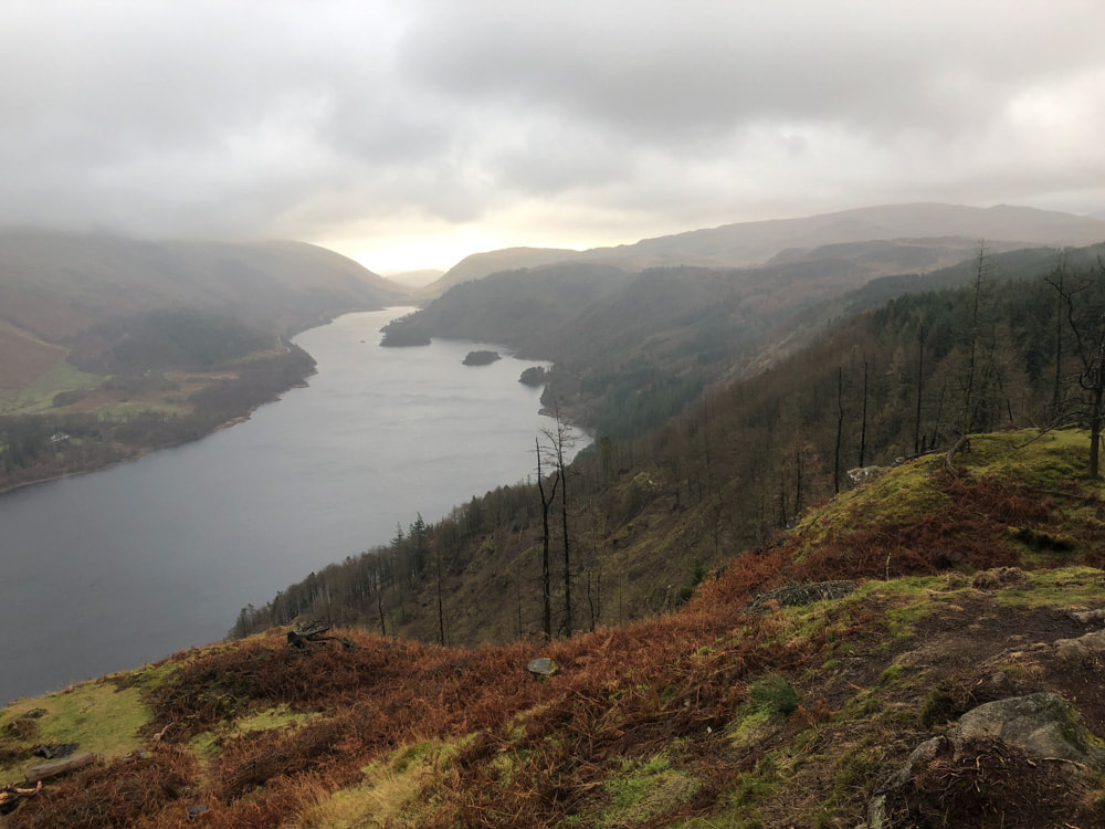
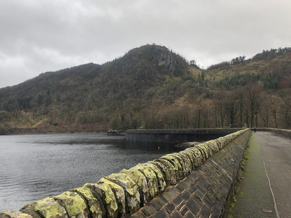
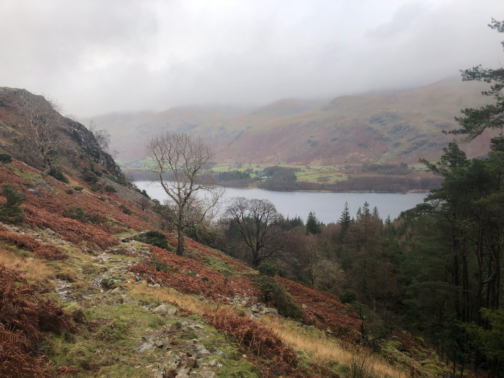
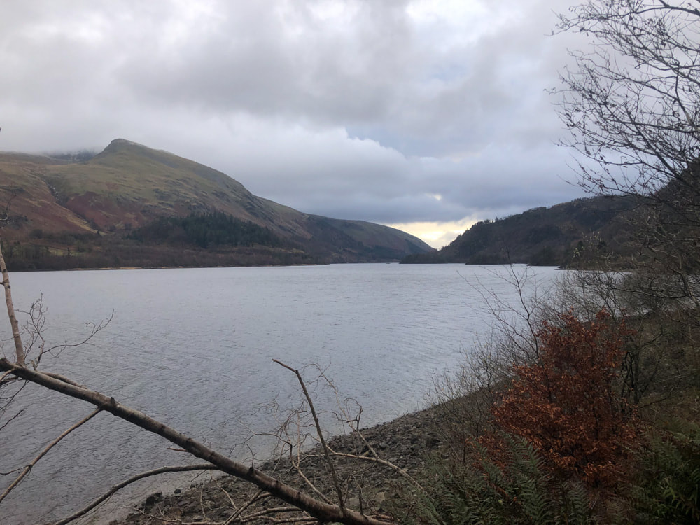
Thirlmere from Raven Crag
|
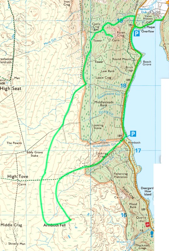
We parked at the eastern end of the Thirlmere dam - the road marked across the dam being closed (permanently?). After turning north for a short distance, at the western end of the dam, a steep well-marked path ascends to Raven Crag - from where the views of Thirlmere are superb.
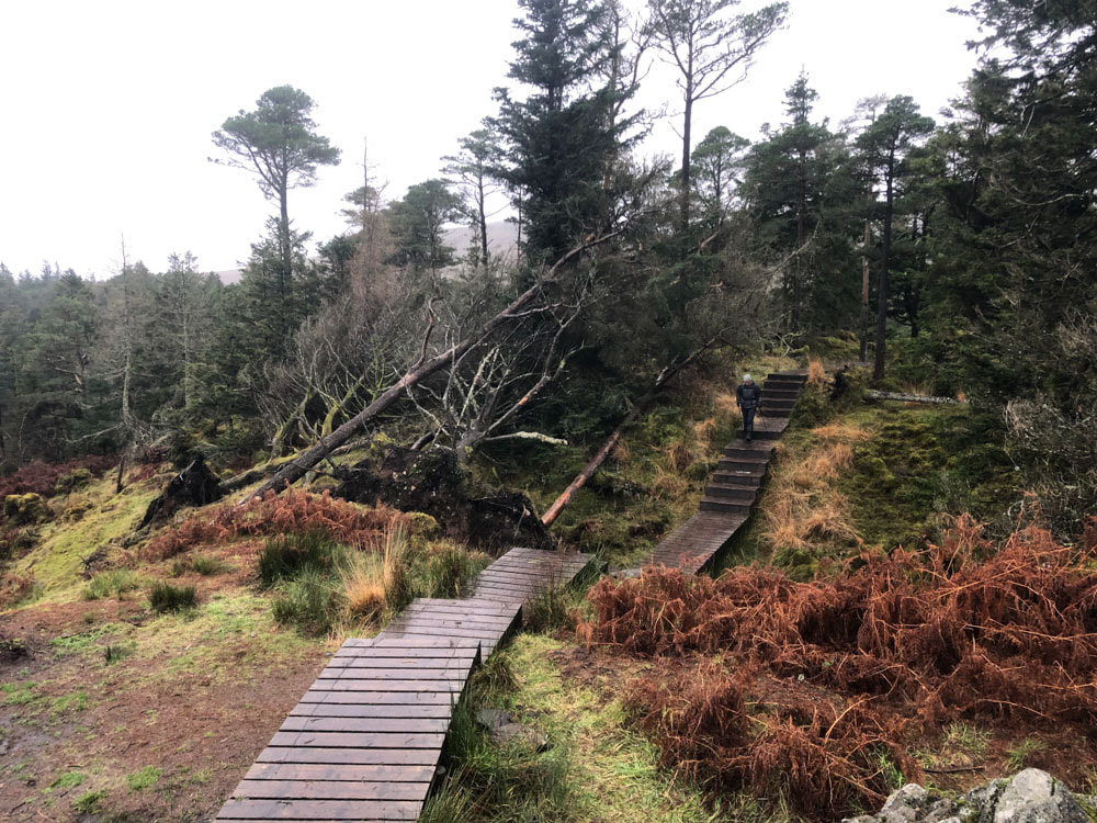
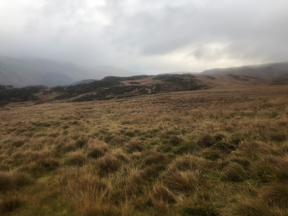
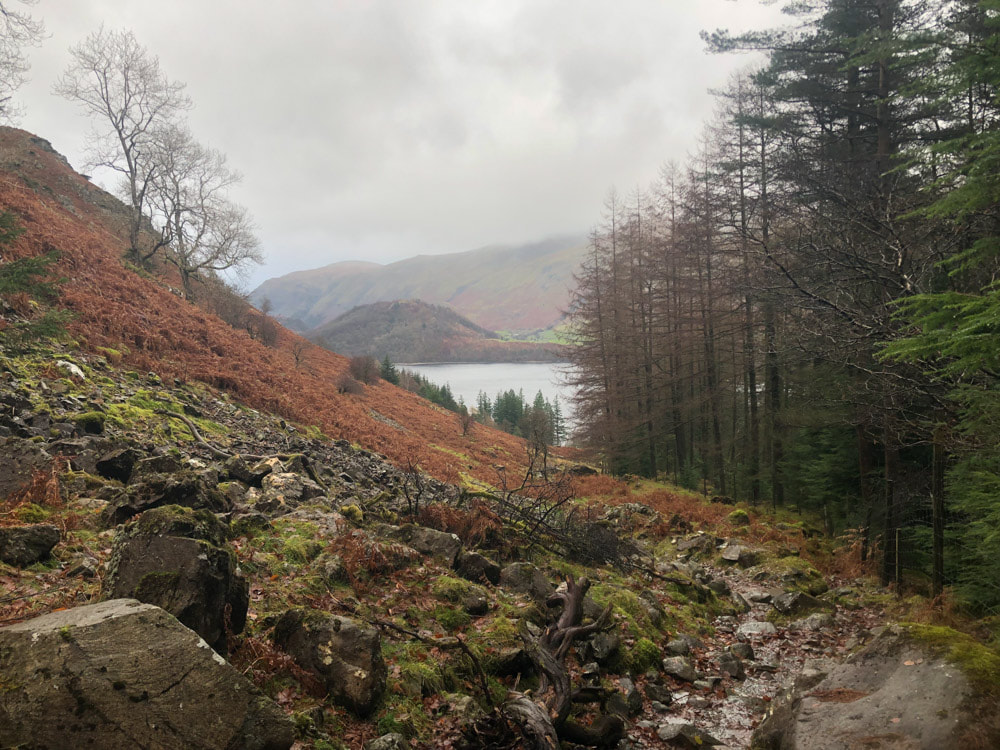
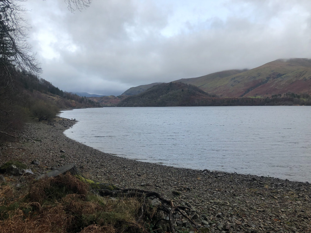
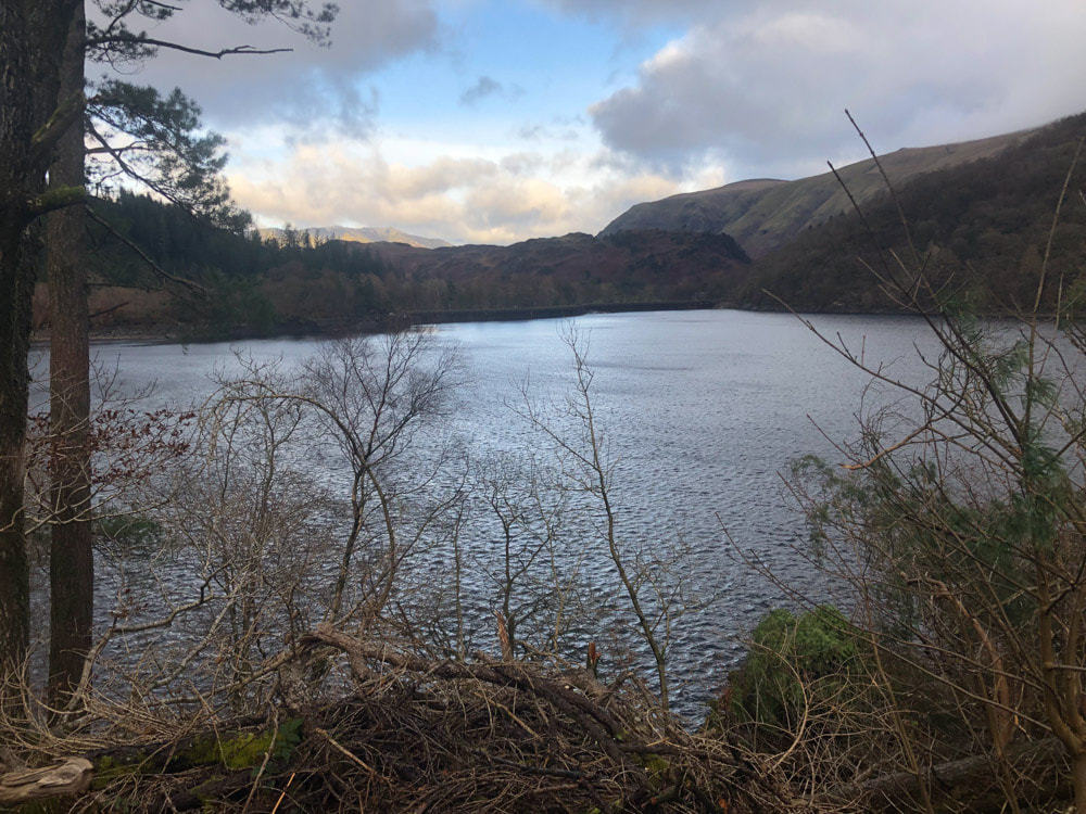
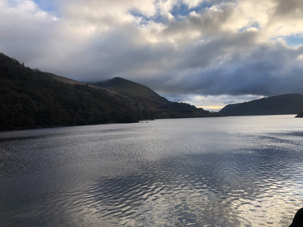
When we did the High Seat, High Tove, Ullscarf circuit we missed out Armboth Fell, so today we made a circuit that incorporated this hill. The path south from Raven Crag initially follows a good forestry path. After a km or so it forks, the right fork leading onto the open fell - where it becomes boggy and fizzles out after a further km. We then followed the contour across the pathless grassy/boggy moor until we were west of the summit. Here a path leads between Middle Crag and Armboth Fell (this path is not marked on OS maps). Another more intermittent path leads from the summit of Armboth Fell to join the path which descends to the Armboth car park on the shore of Thirlmere. From here a usually good path leads back to the dam. Today both this path and the road running along the west shore were bestrewn with fallen trees which had to be negotiated. |
|
Click on an image below to enlarge and scroll through