Ullock Pike (690m), Long Side (734m), Carl Side (746m) and Dodd (502m) - 19/12/2018
Distance: 8km; Ascent: 720m; Time: 3.5h

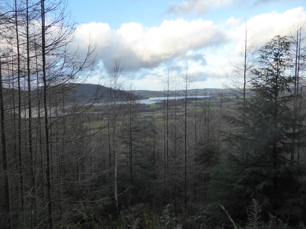
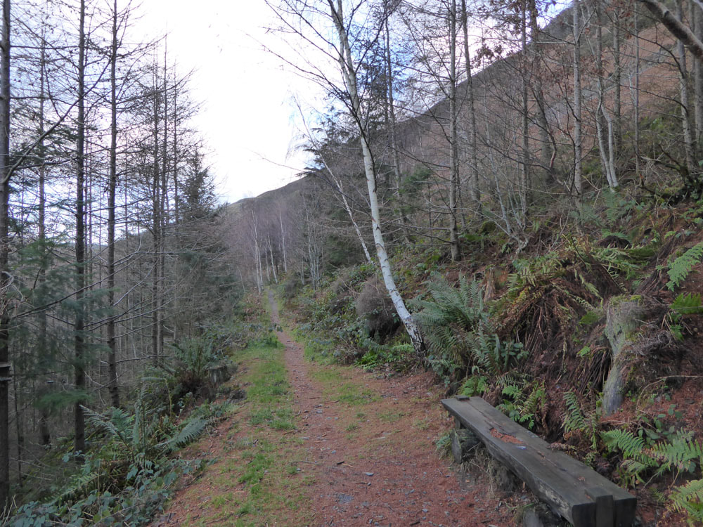
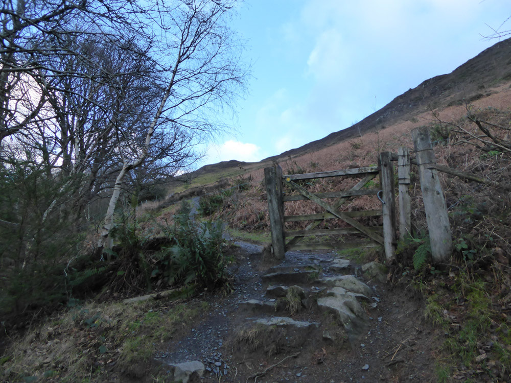
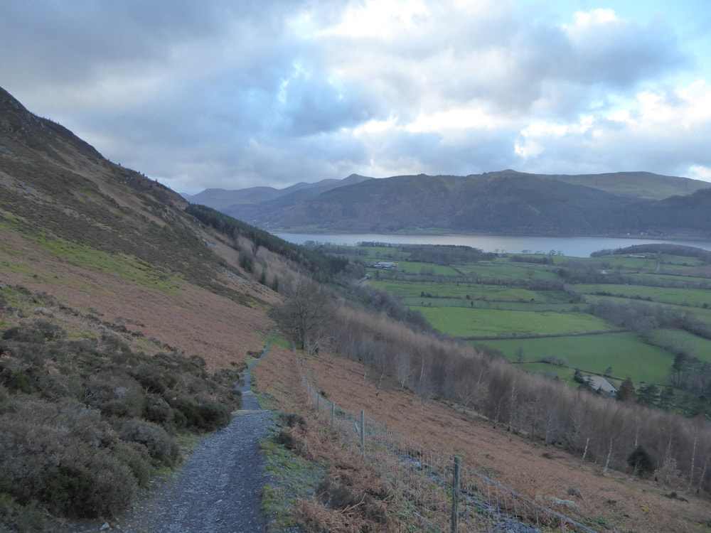
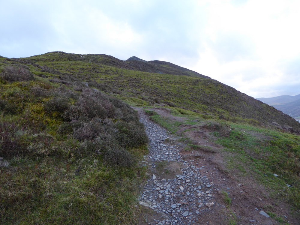
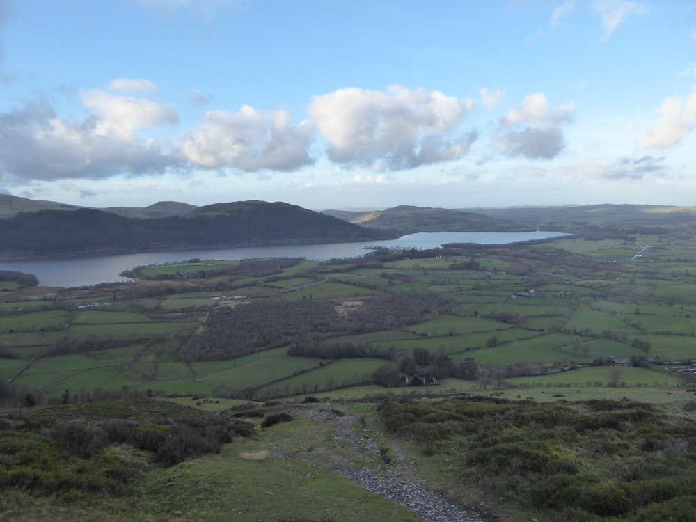
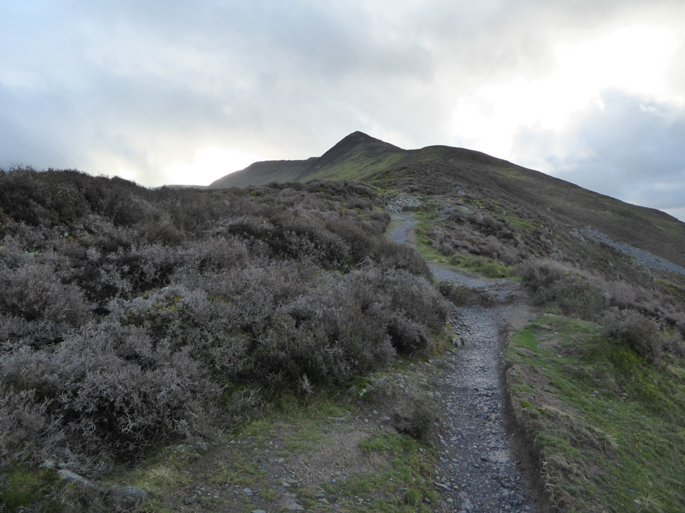
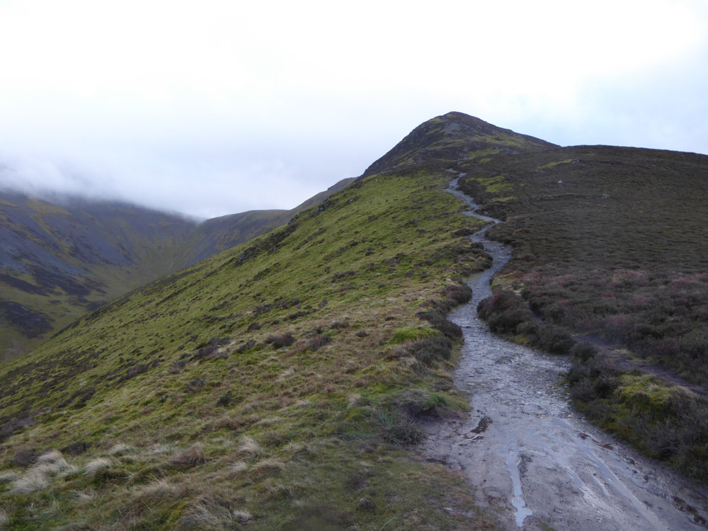
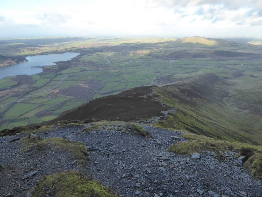
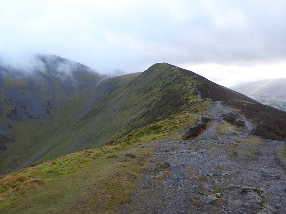
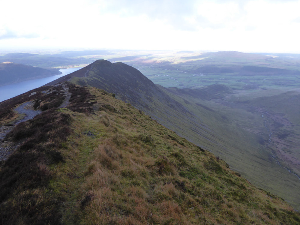
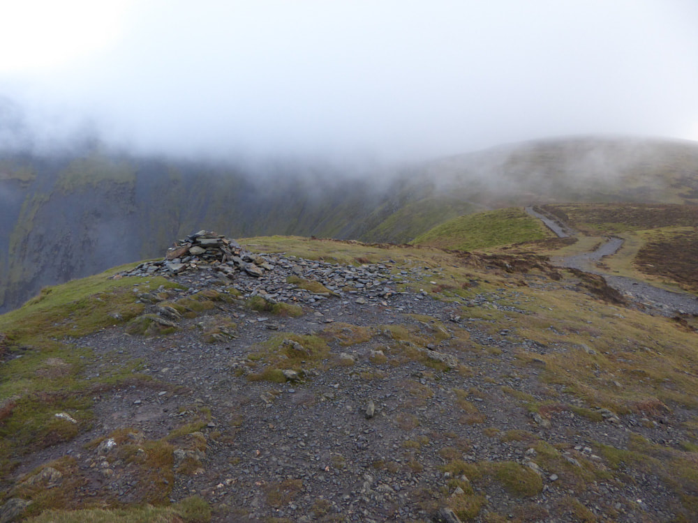
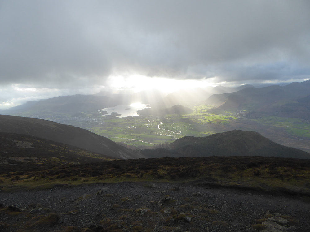
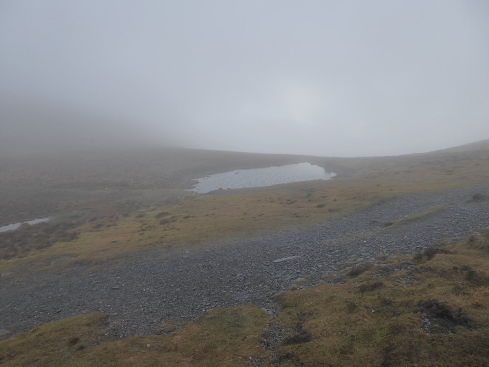
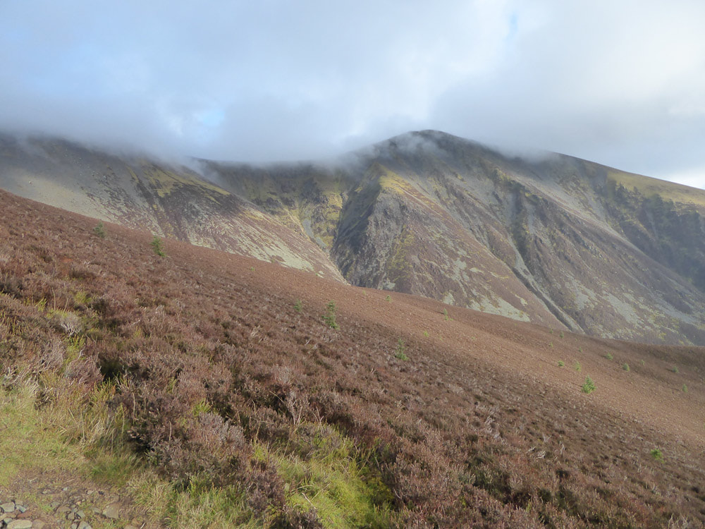
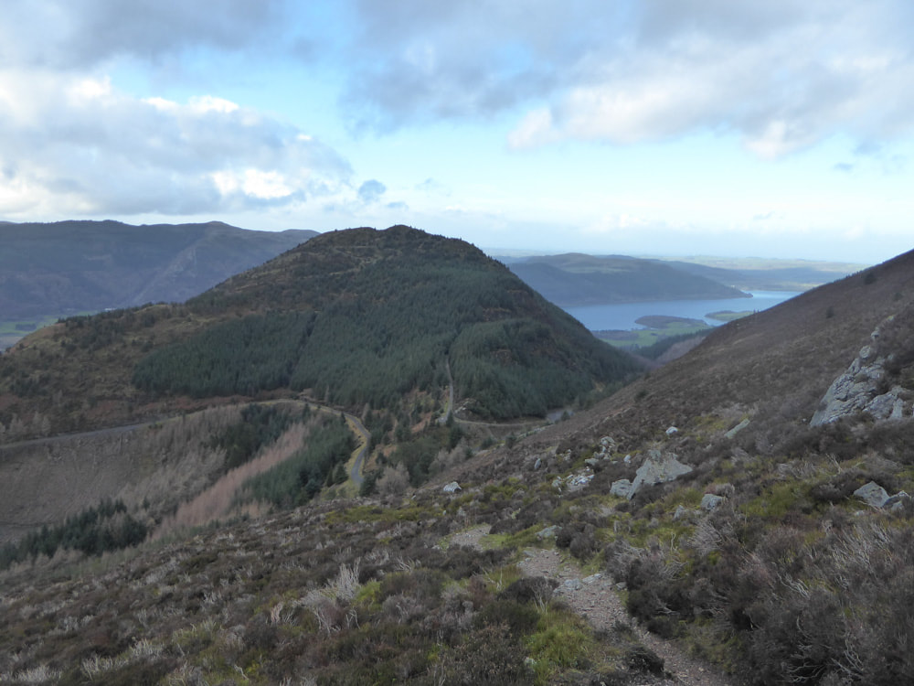
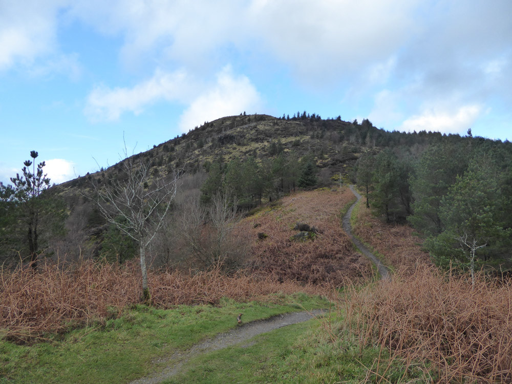
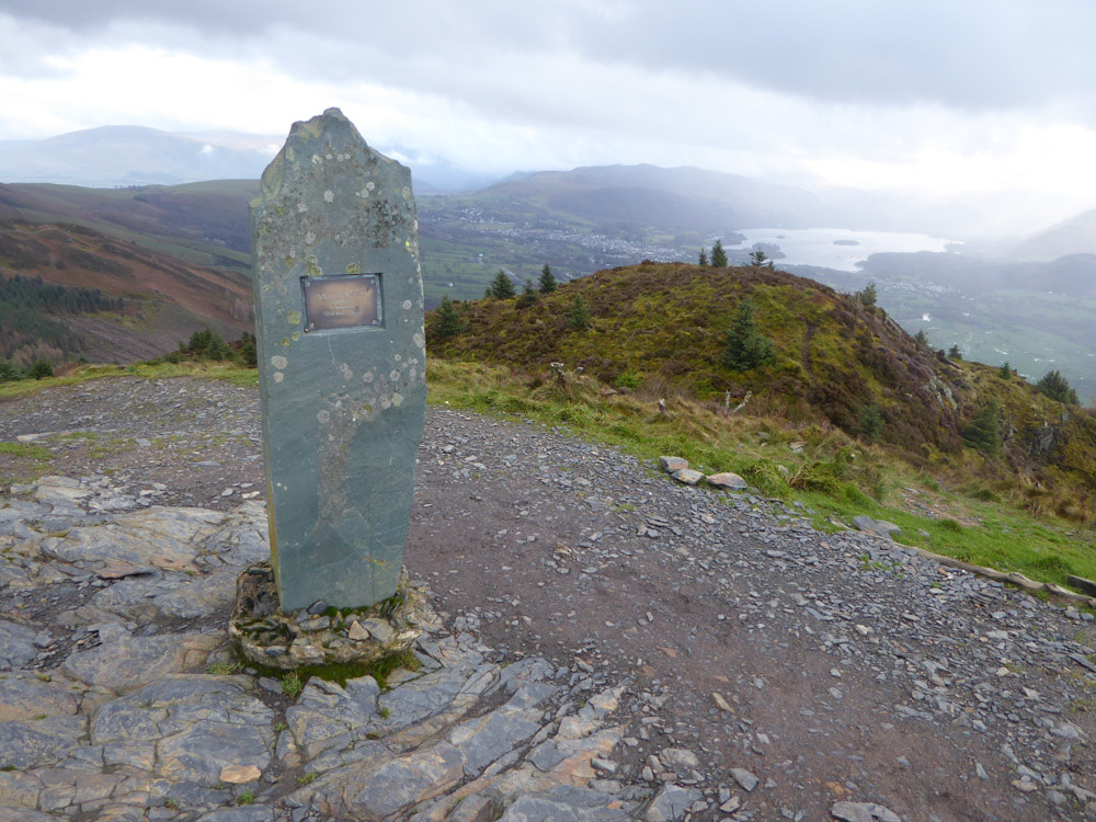
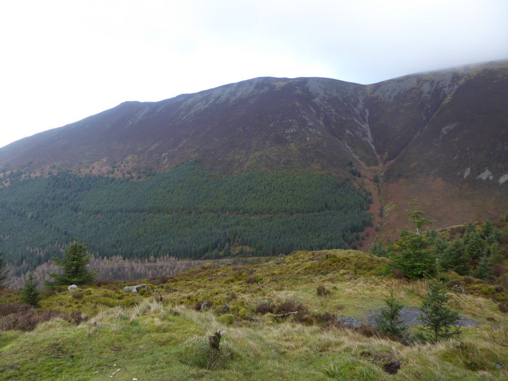
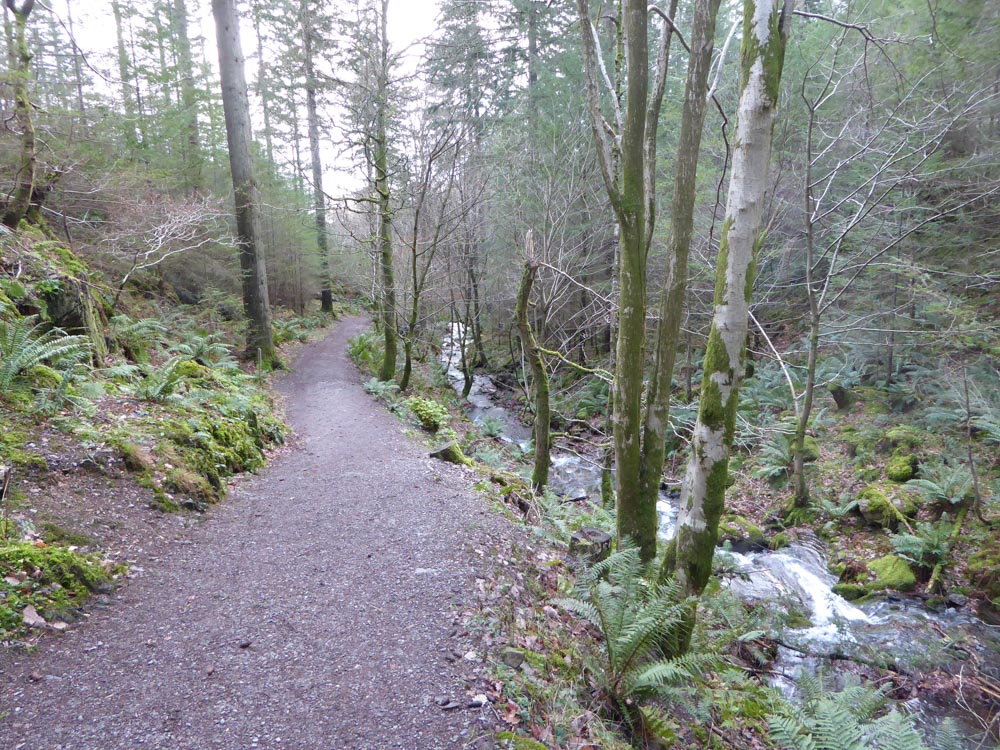
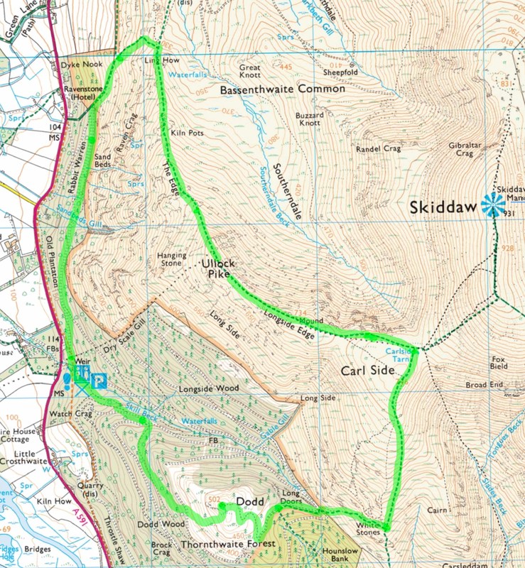
This walk takes in a series of summits along a steep-sided ridge, west of the Skiddaw range. I did this on a cloudy day with a few sunny spells and occasional drizzle. Skiddaw itself was concealed in cloud constantly. The walk starts a the Forest Commission Dodd Wood car park on the A591 beside Lake Bassenthwaite. Here there are a series of way-marked trails. Start on the yellow route (marked as the Sandbed Gill trail, after a Gill that is crossed along the way), heading north on a good track through dark pine woods. After about 1.5km the way-marked trail does a U-turn, left, to return to the car-park; for our route turn right onto a public footpath that ascends fairly steeply to the ridge at 330m. Turn right (south) here onto the main ridge trail "The Edge". Ullock Pike is now in view and looks much nearer than the subsequent ascent feels, due to the steep grade and many false summits. Beyond Ullock Pike the ridge becomes more steep-sided along Longside Edge which crosses the summit cairn of Long Side. The terrain then broadens as it approaches Carl Side Tarn, which is really a big puddle. From here there are two main routes - one ascending Skiddaw, the other turning right (South) over the nondescript summit of Carl Side. The steep descent gives a good view of Derwent Water and its surrounding ranges. At ~1km from the summit of Carl Side a small track turns west and soon Dodd is visible to the west. The track descends to a forestry road where the route to Dodd summit is way-marked (the green trail). About 200m from the summit is a side trail to a view point - this is also the best route for return to the car-park - but the first part of it is not marked on the OS map.
Click on an image to enlarge and scroll through