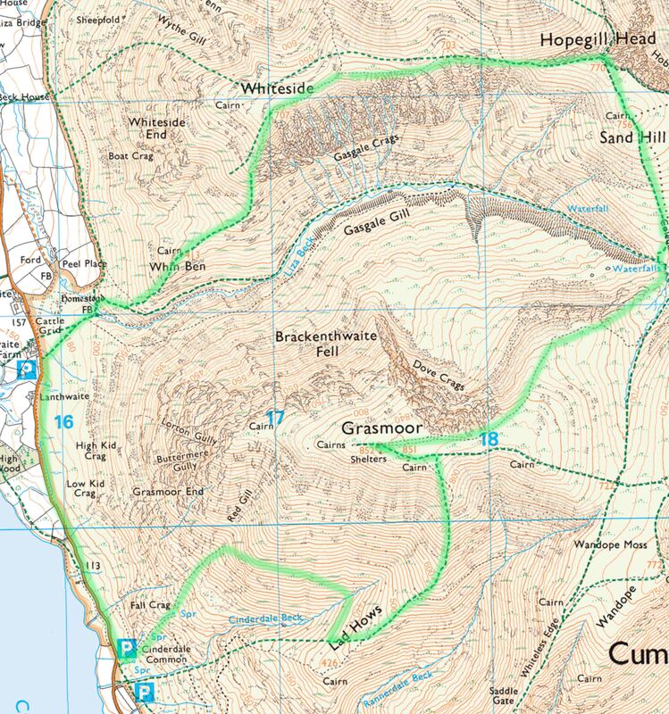
Grasmoor (852m), Hopegill Head (770m), Whiteside (707m) - 08/08/2019
Distance: 12km; Ascent: 920 (+80)m; Time 6h
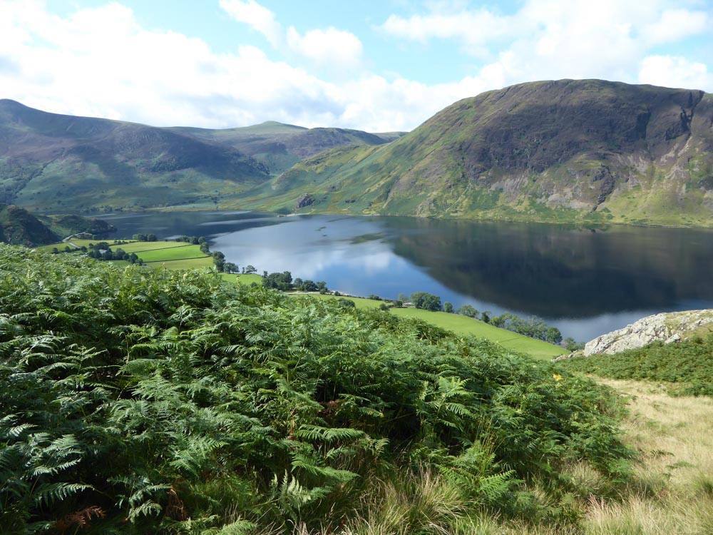
View across Crummock Water to Mellbreak from our ascent of Grasmoor
Ben and I did this circuit starting from a car park along the shore of Crummock Water. Here a finger post is signed to "Grasmoor 1.5ml" - this is a steep 1.5 miles in which you gain 740m in altitude. We (I) made an early error in following an obvious track in the direction in which the finger post was pointing - we should have crossed Cinderdale Beck immediately to gain the true path. The path we actually took fizzled out in overgrown bracken at ~350m altitude, after which we went cross-country through deep heather and across loose scree to eventually join the path at Lad Hows - in the course of which we gained and lost 80m in altitude.
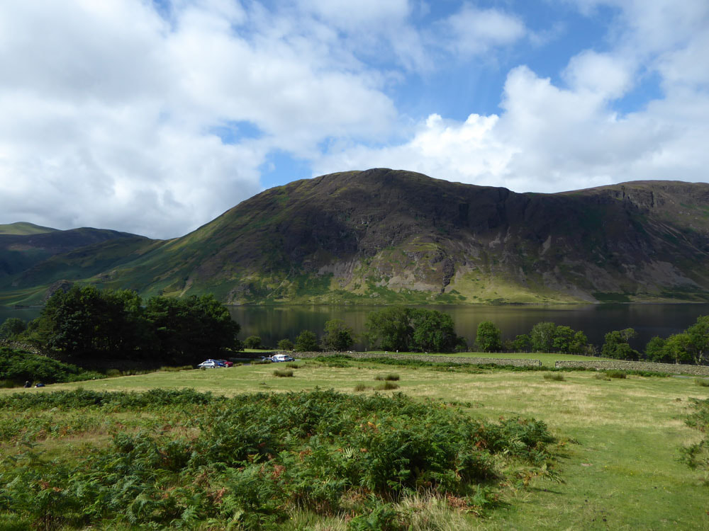
Car park, Crummock Water and Mellbreak from our (wrong) ascent path
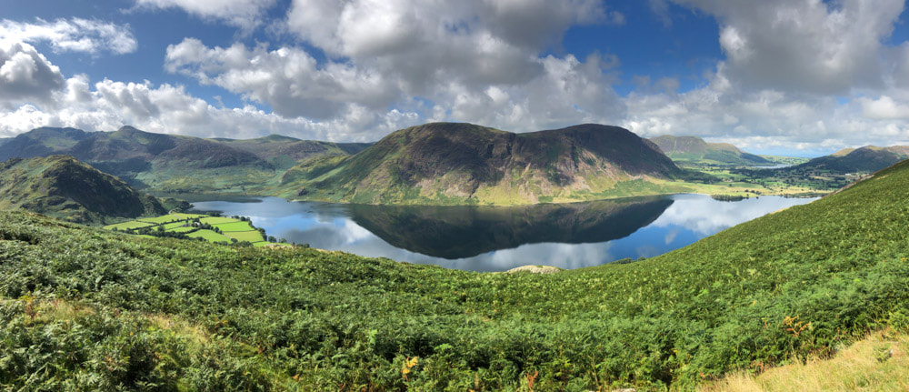
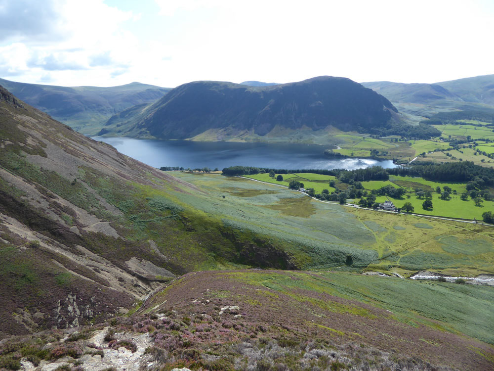
Crummock Water with (left to right) Red Pike, Starling Dodd, Mellbreak
|
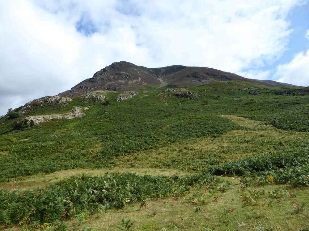
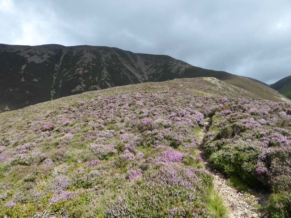
Looking up at Grasmoor - our track through the bracken seems clear from here
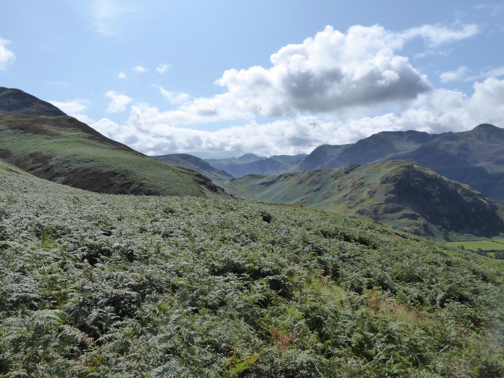
Our path fizzles out in dense bracken, but the views remain excellent
|
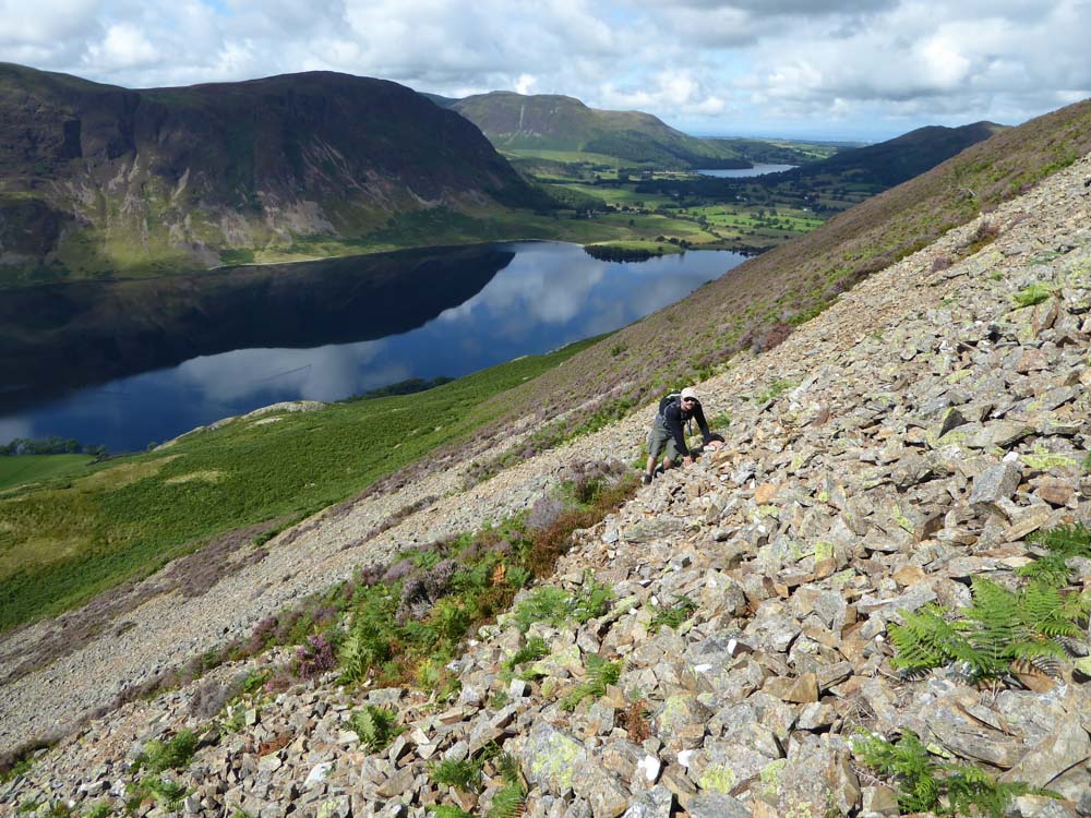
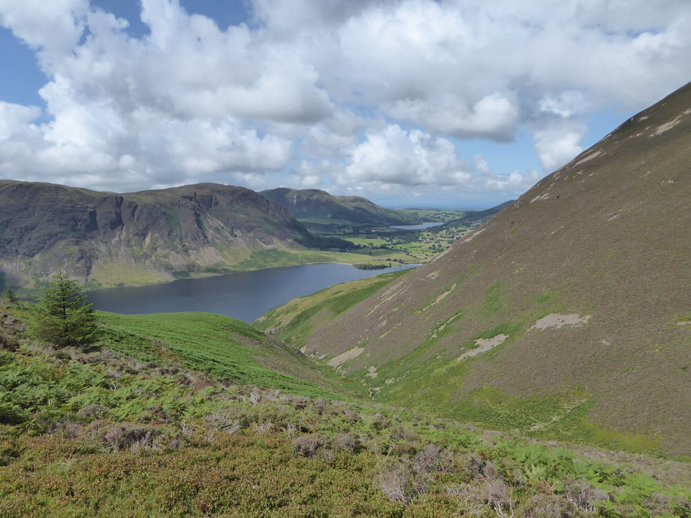
Making our way across loose scree, Loweswater comes into view
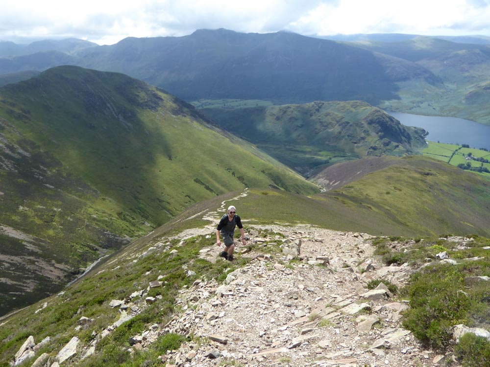
Ascending steeply through dense heather, the path we should be on is visible on the far side of Cinderdale Beck

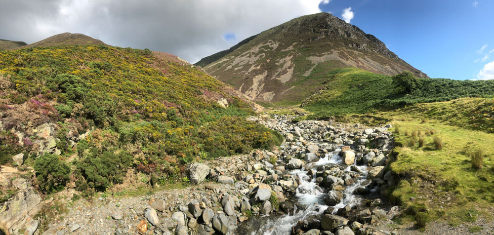
Eventually we make it across Cinderdale Beck near Lad Hows
|
And find the path
|
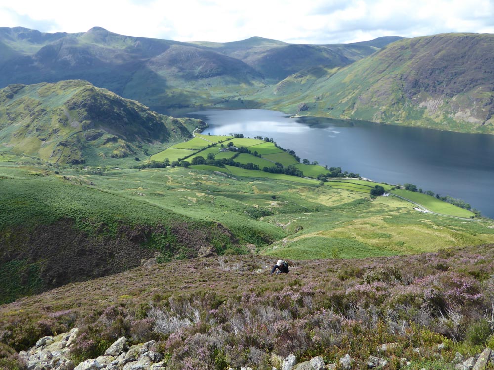
Looking back we have (left to right) Whiteless Pike across Rannerdale Beck, High Stile, Red Pike, Starling Dodd and Great Borne in the distance and Rannerdale Knotts in the middle distance on our side of Crummock Water with Mellbreak on the far side of Crummock Water
|
|
|
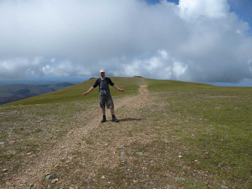
After the steep ascent, the summit of Grasmoor is on a plateau
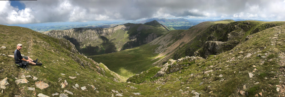
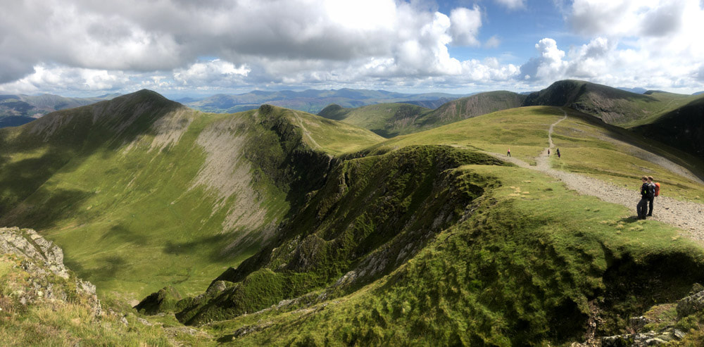
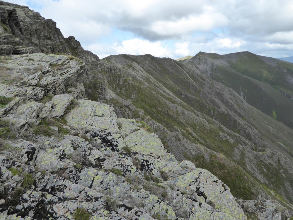
Lunch stop on the edge of Dove Crags. Our onward route is along the top of these crags, gradually descending to Coledale Hause and then ascending Hopegill Head (Grisedale Pike is the peaked summit just off our route) and then along the Whiteside ridge
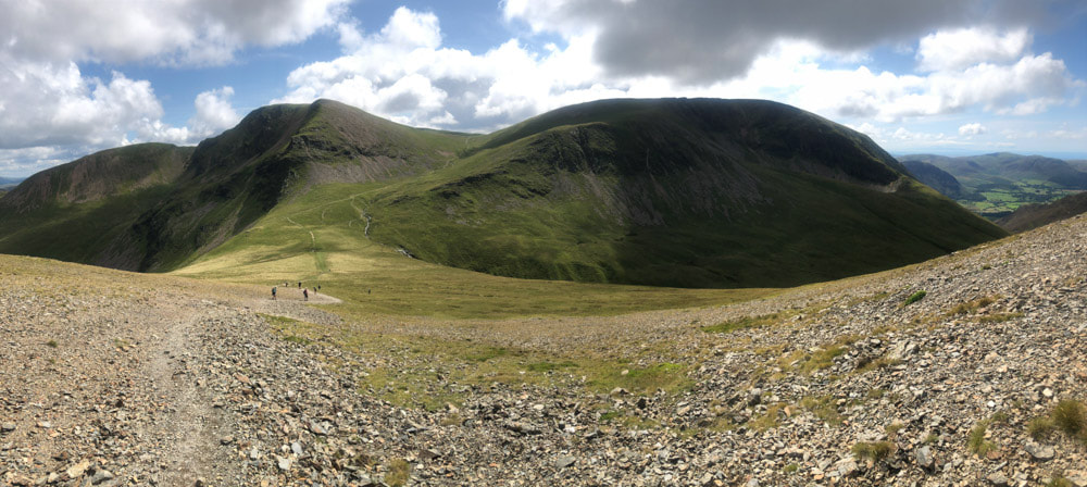
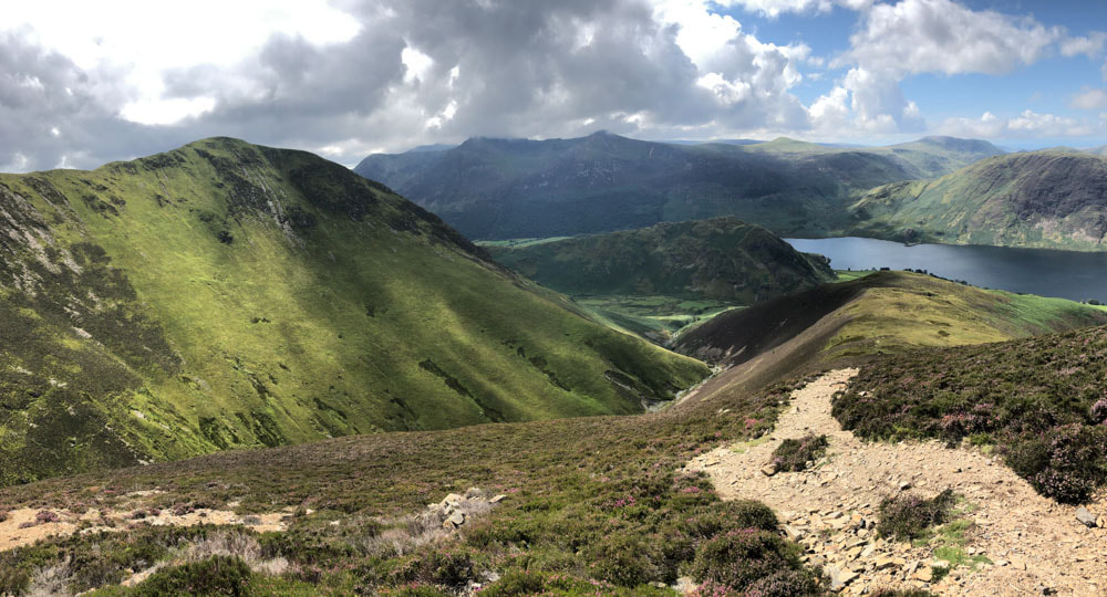
Looking back at Coledale Hause from the ascent of Sand Hill, with Crag Hill left of centre and Grasmoor to the right
Hobcarton Crag and Grisedale Pike from near the summit of Hopegill Head
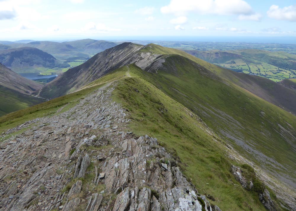
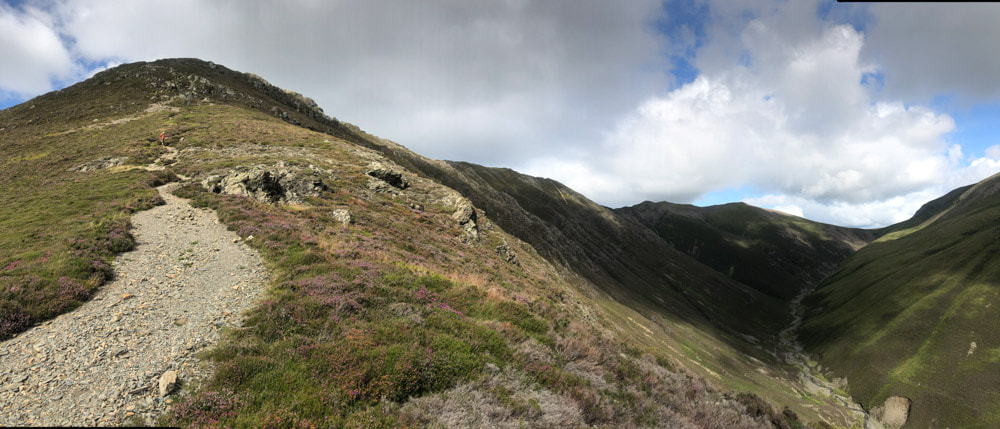
Whiteside ridge from Hopegill Head. The highest point along the ridge (after the initial descent from Hopegill Head) is at 719m (Whiteside East Top) but the Wainright and the named summit of Whiteside is at the western end of the ridge and is slightly lower at 707m
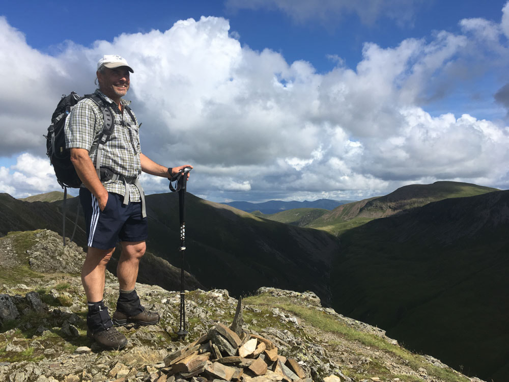
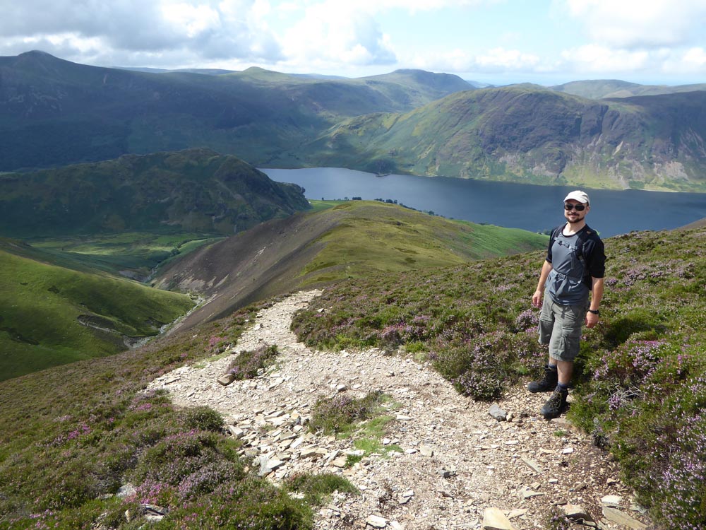
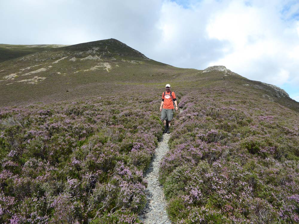
Me at the summit of Whiteside
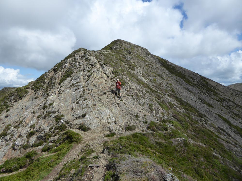
Looking back along the Whiteside ridge
The descent from Whiteside is down a steep scree through good heather and bilberry
|
|
Eventually we reach the bridge crossing Gasgale Gill with views up at Whiteside on the left and Grasmoor on the right
