The Fairfield horseshoe - 23/04/2017
Nab Scar (450m), Heron Pike (612m), Great Rigg (766m), Fairfield (873m), Hart Crag (822m),
Dove Crag (792m), High Pike (656m), Low Pike (508m)
Distance: 15km, Ascent: 1050m, Time: 5h
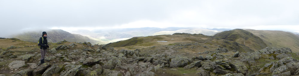
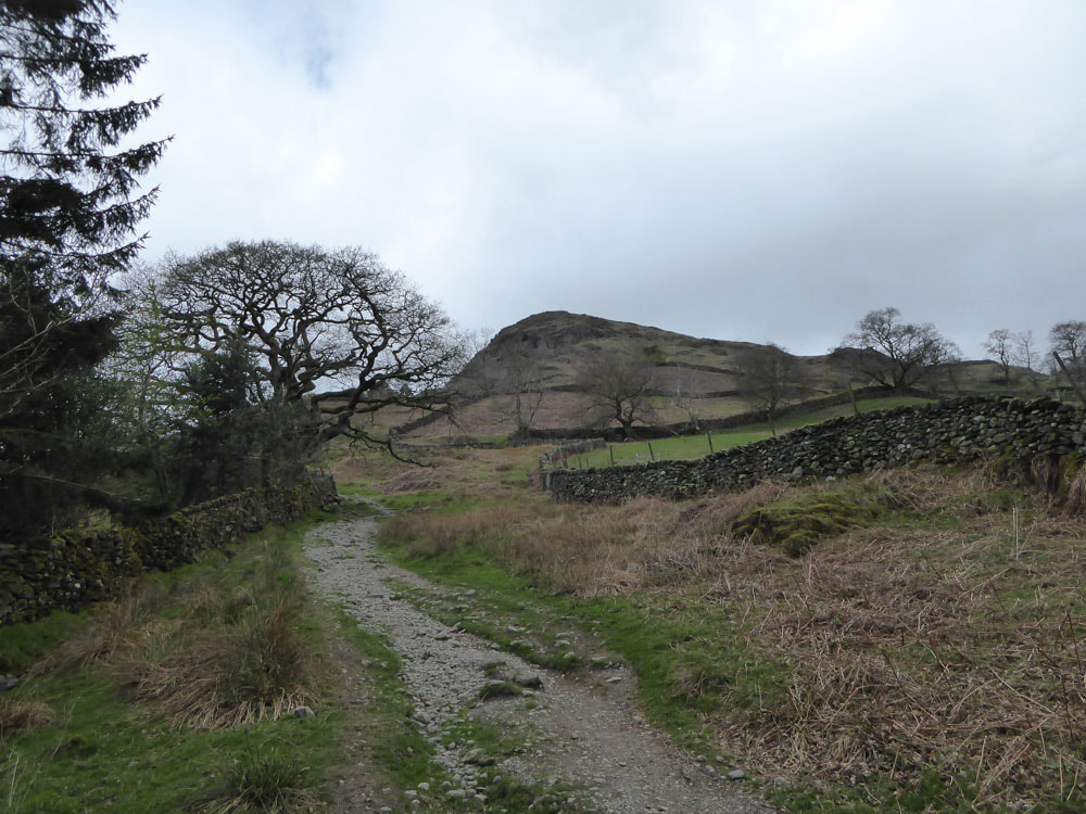
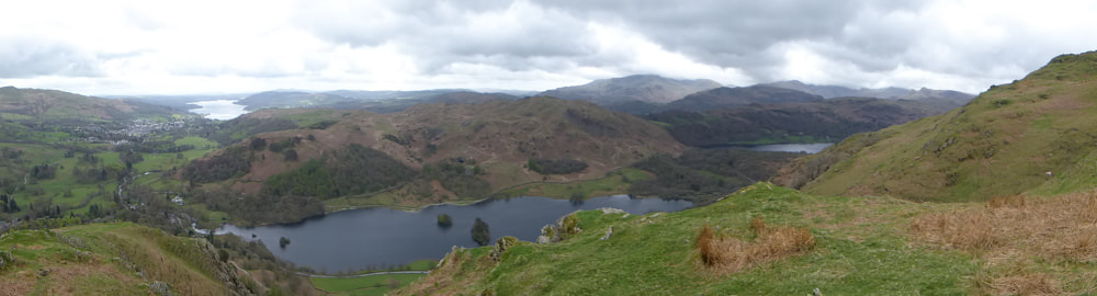
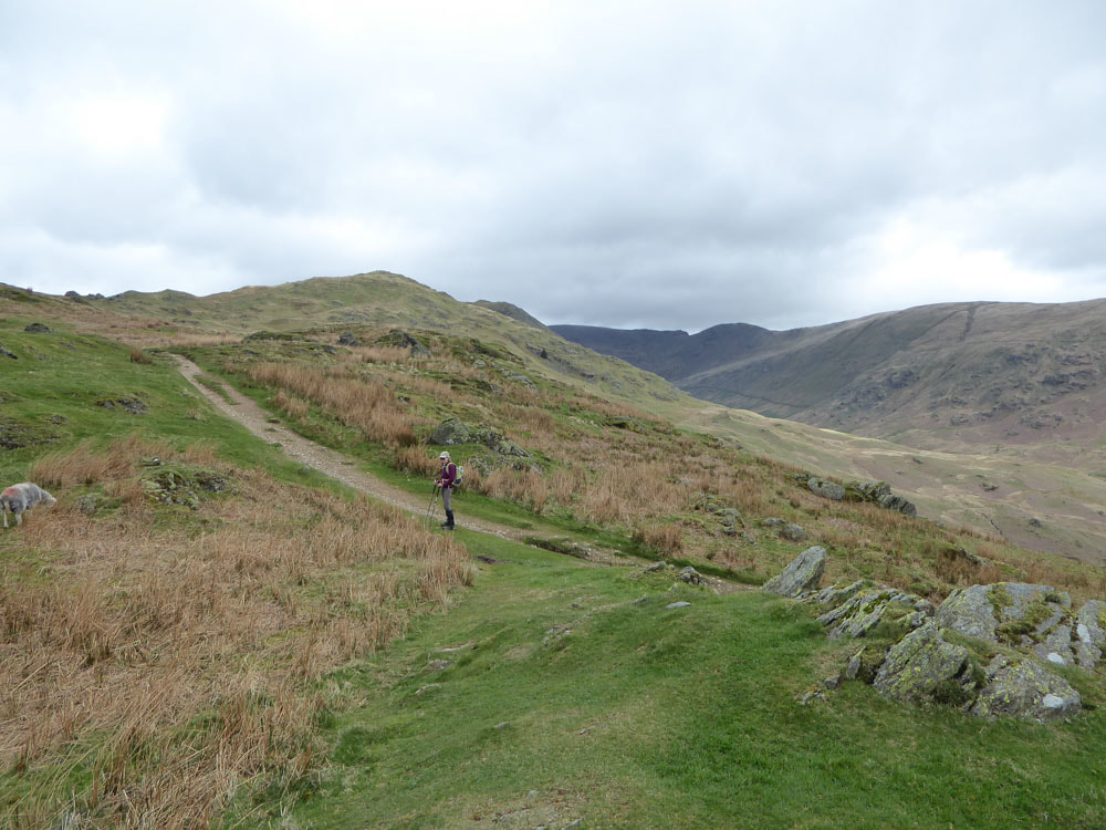
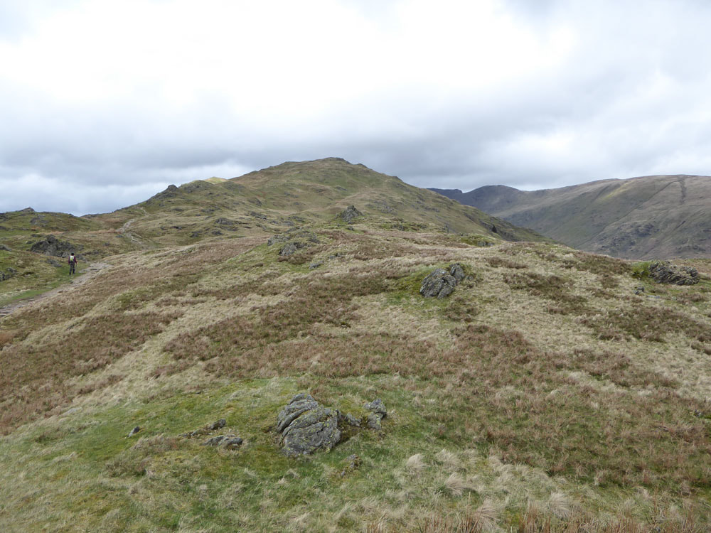
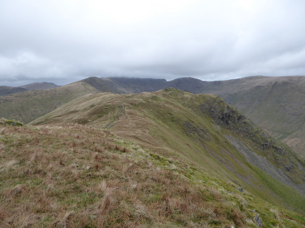
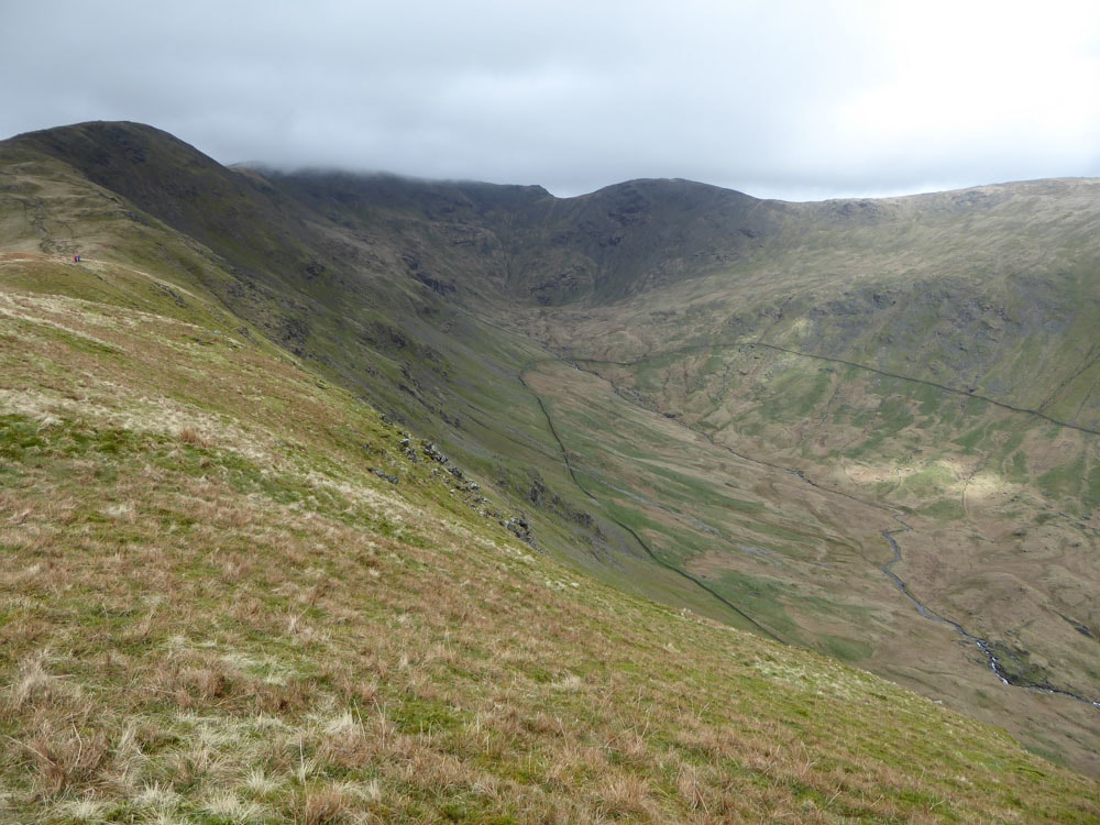
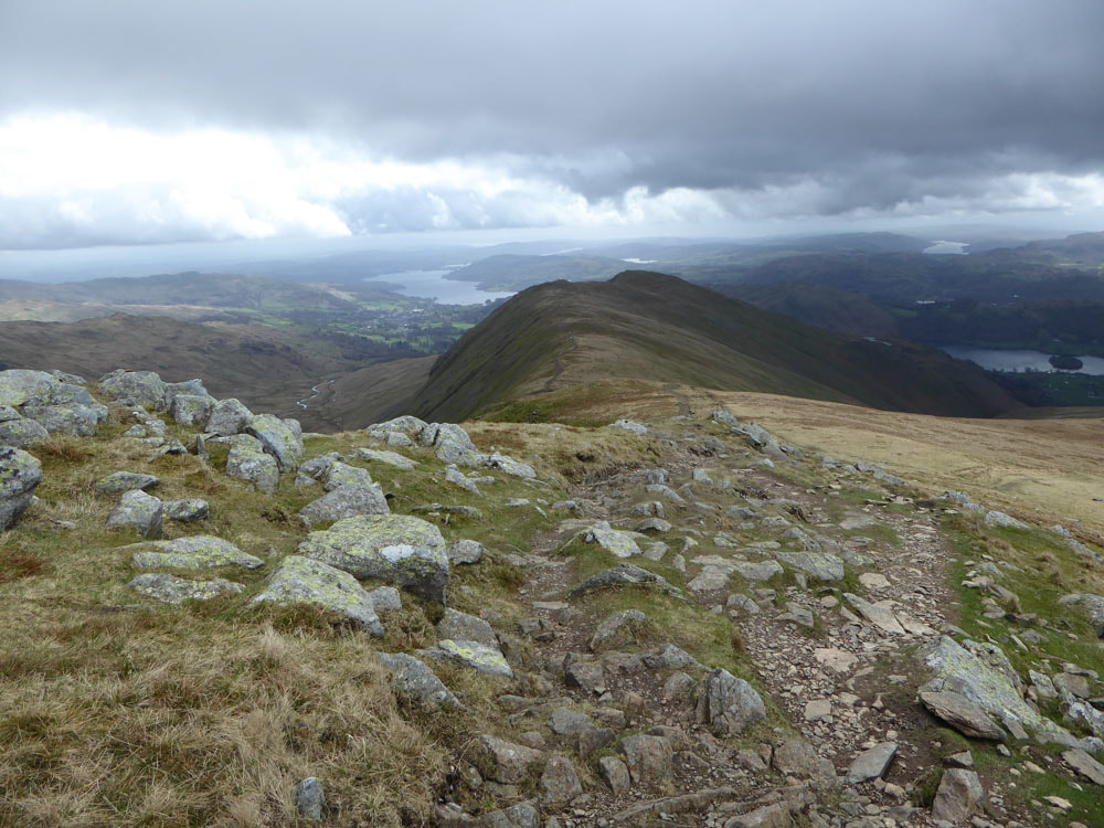
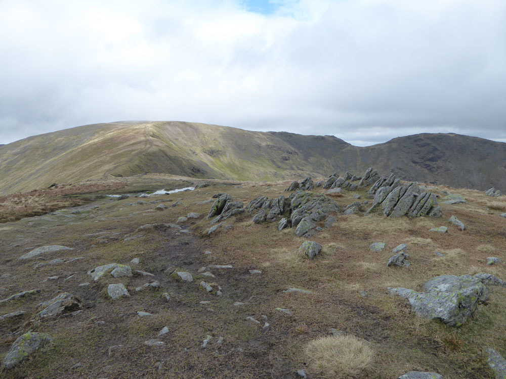
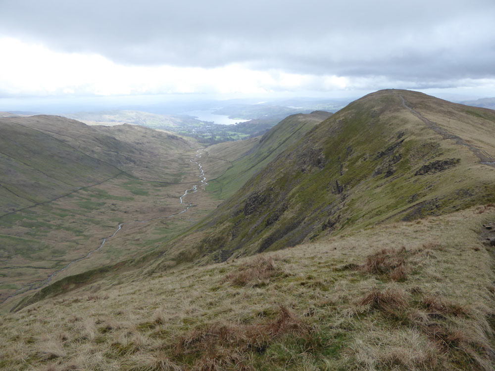
We parked near Rydal Mount. A clear path leads up Nab Scar. From here there are good views back over Rydal Water and Windermere with Esthwaite and Coniston also visible. We then followed the ridge over Heron Pike and Great Rigg and on to Fairfield. The wind became strong and cold and a bit unpleasant and the mist descended from here on - especially bad in the section across the high plateau between Fairfield and Hart Crag. The descent route was long, and crossed 3 further named summits. Near town there is a permissive path (not marked on OS maps) beside Scandale Beck, that cuts across to Rydal Park (so you don't have to go all the way into Ambleside). We stopped for a welcome tea/coffee and cake at Rydal Hall just before returning to the car. Very little wildlife seen on this route today.
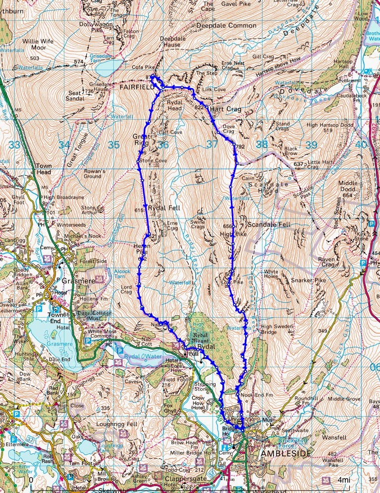
The route map below is taken from "sdb wanderings", as Bing Maps does not have an Ordance Survey facility at the time of writing. The map (below) shows the route done in the anticlockwise direction (opposite to the way we did it) - and we cut across by Scandale Beck just noth of Ambleside.
The route map below is taken from "sdb wanderings", as Bing Maps does not have an Ordance Survey facility at the time of writing. The map (below) shows the route done in the anticlockwise direction (opposite to the way we did it) - and we cut across by Scandale Beck just noth of Ambleside.
Click on an image to enlarge and scroll through the gallery below
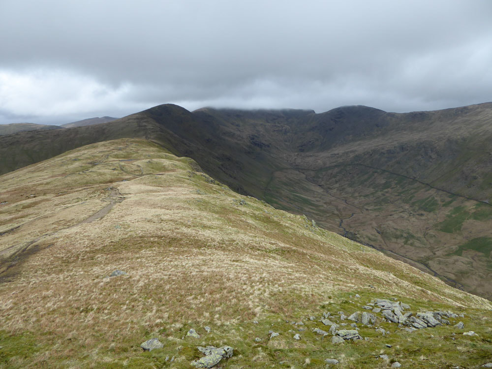
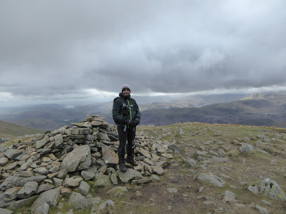
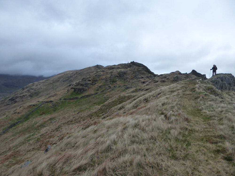
It seems that conditions became sufficiently unpleasant beyond Great Rigg that I took no further photos.
