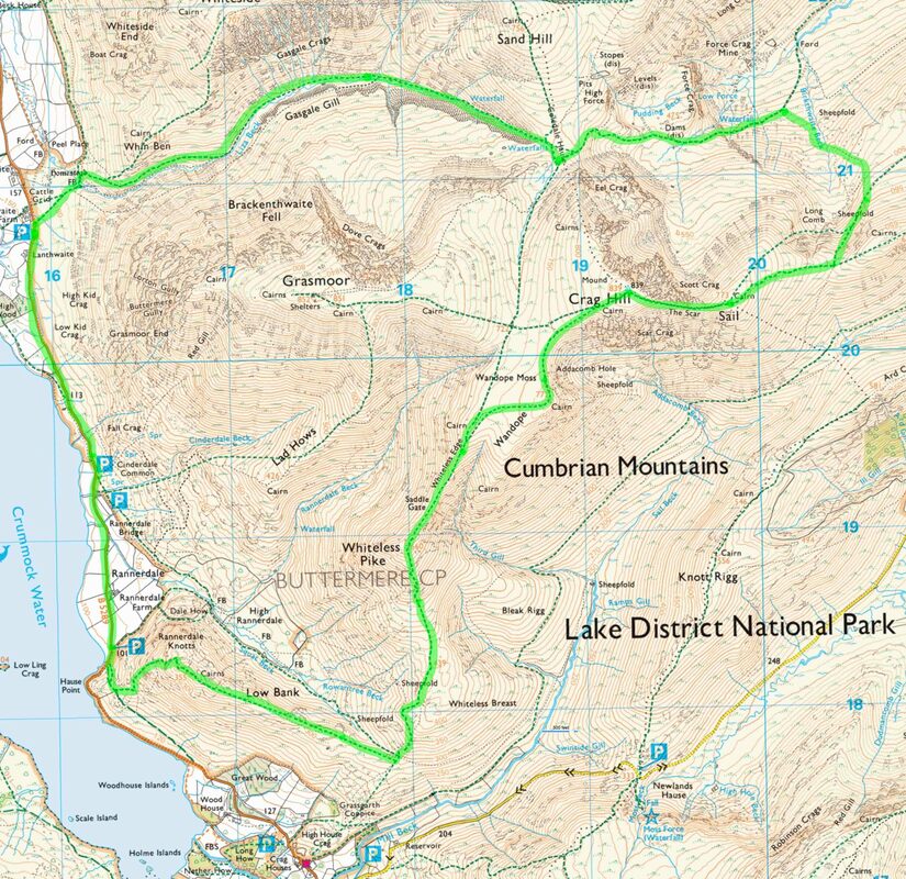
Rannerdale Knotts (355m), Whiteless Pike (660m), Wandope (772m) Crag Hill (839m), Sail (772m) - 05/01/2019
Distance 17km; Ascent 1030m; Time 6h50m
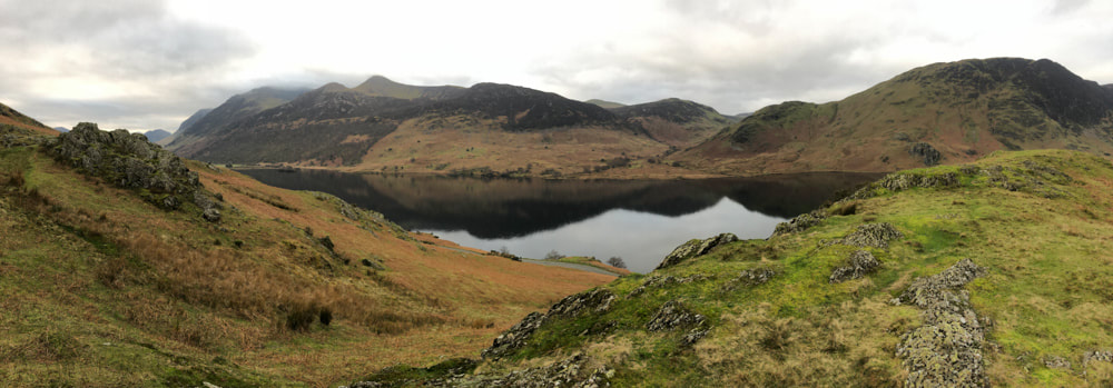
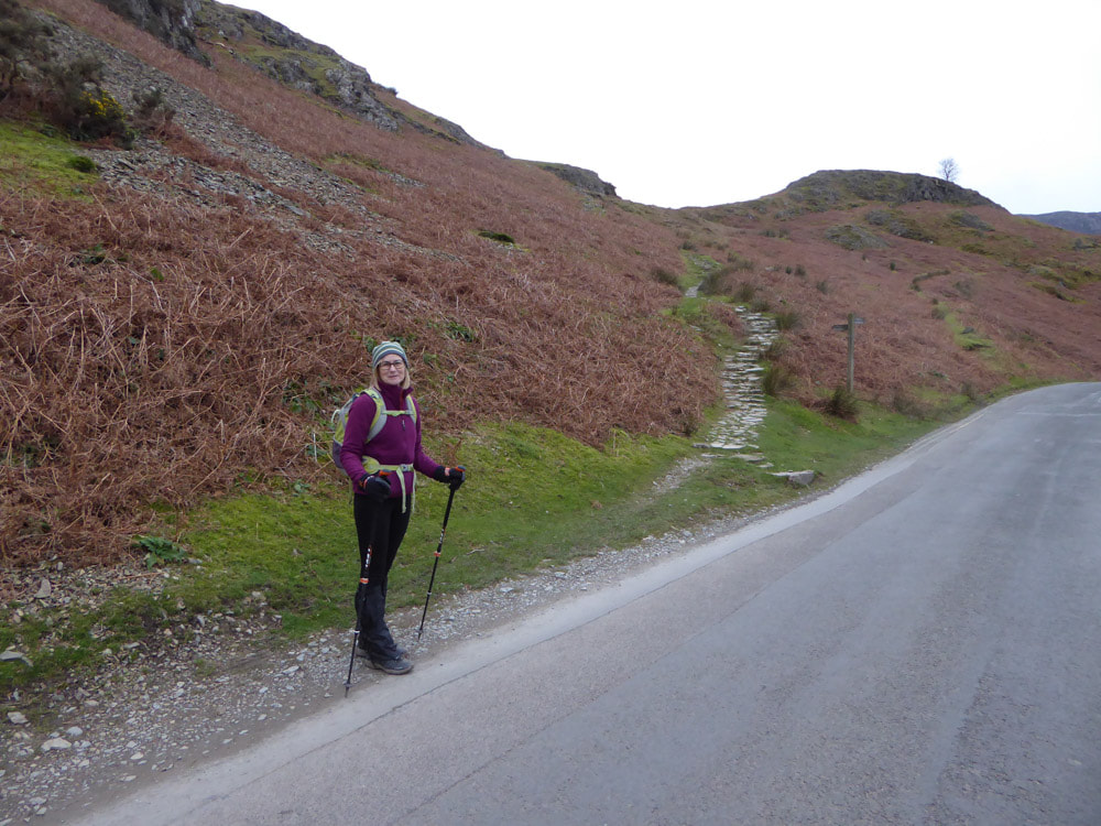
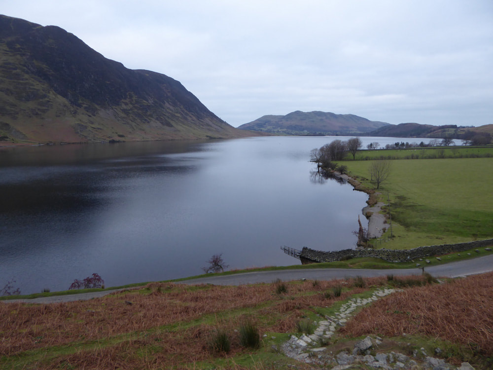
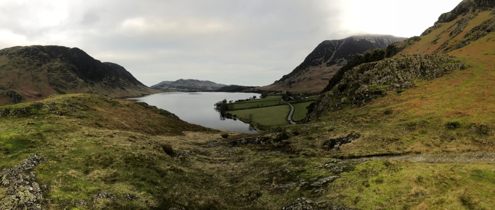
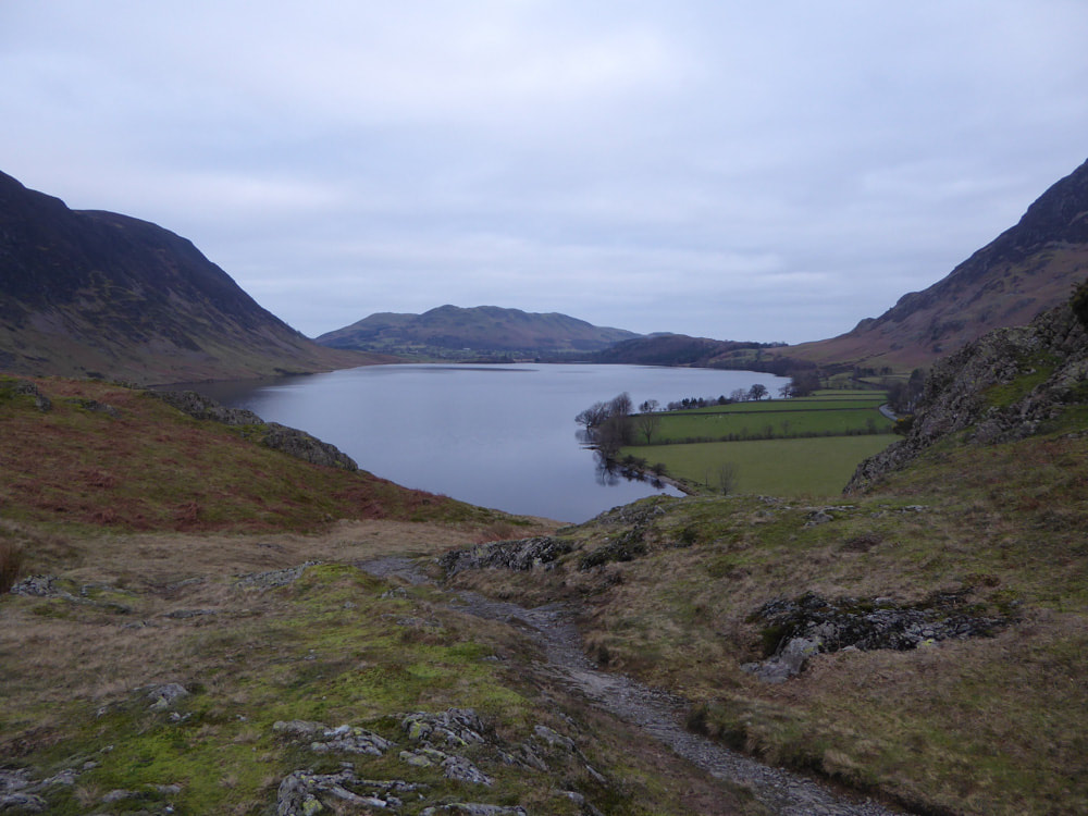
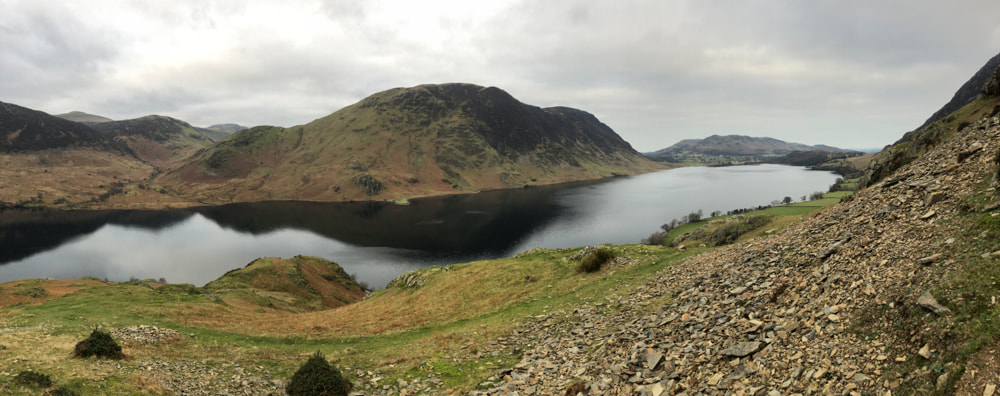
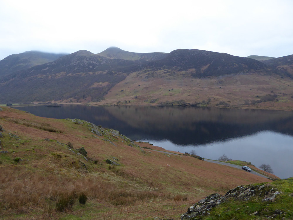
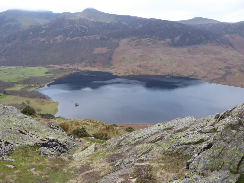
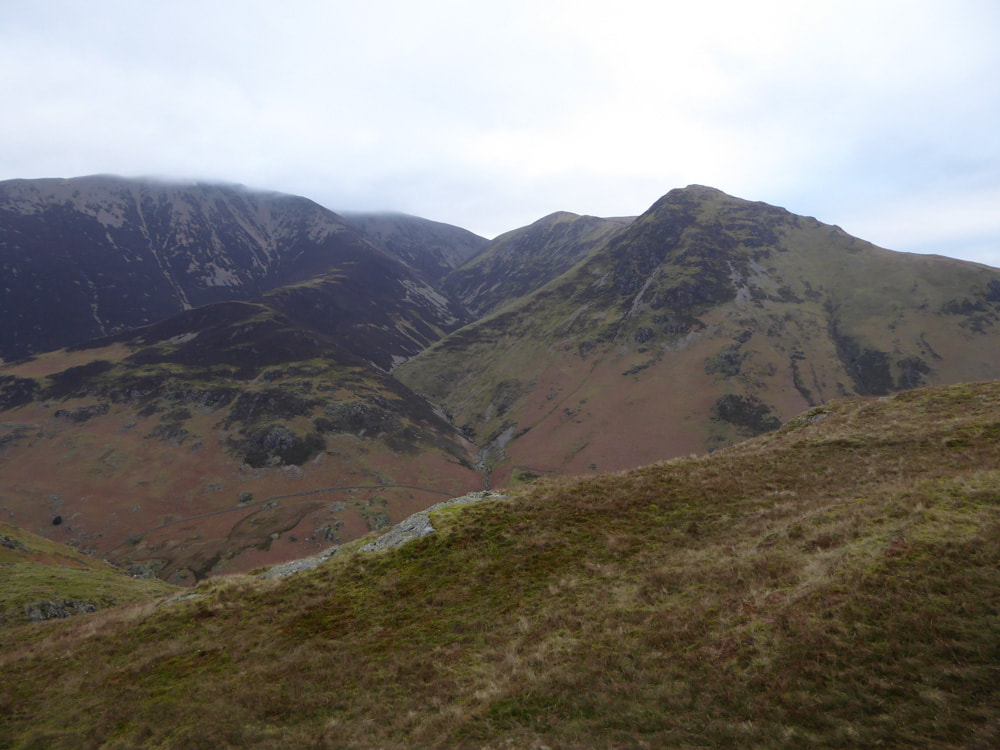
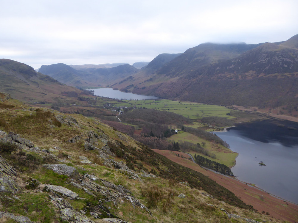
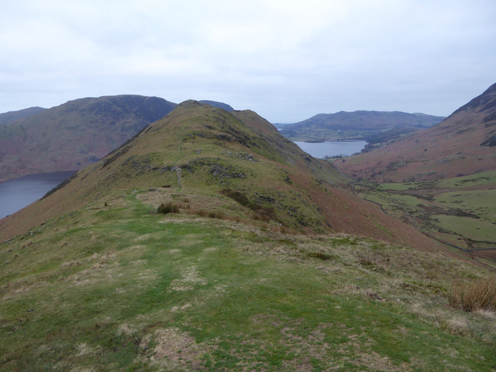
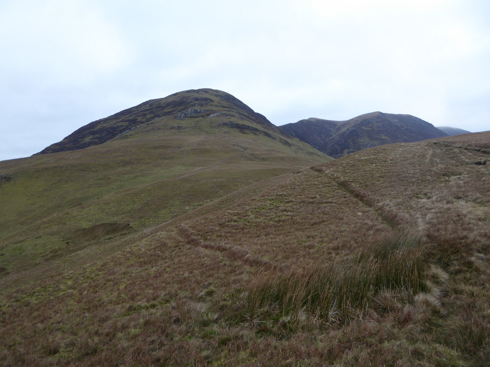
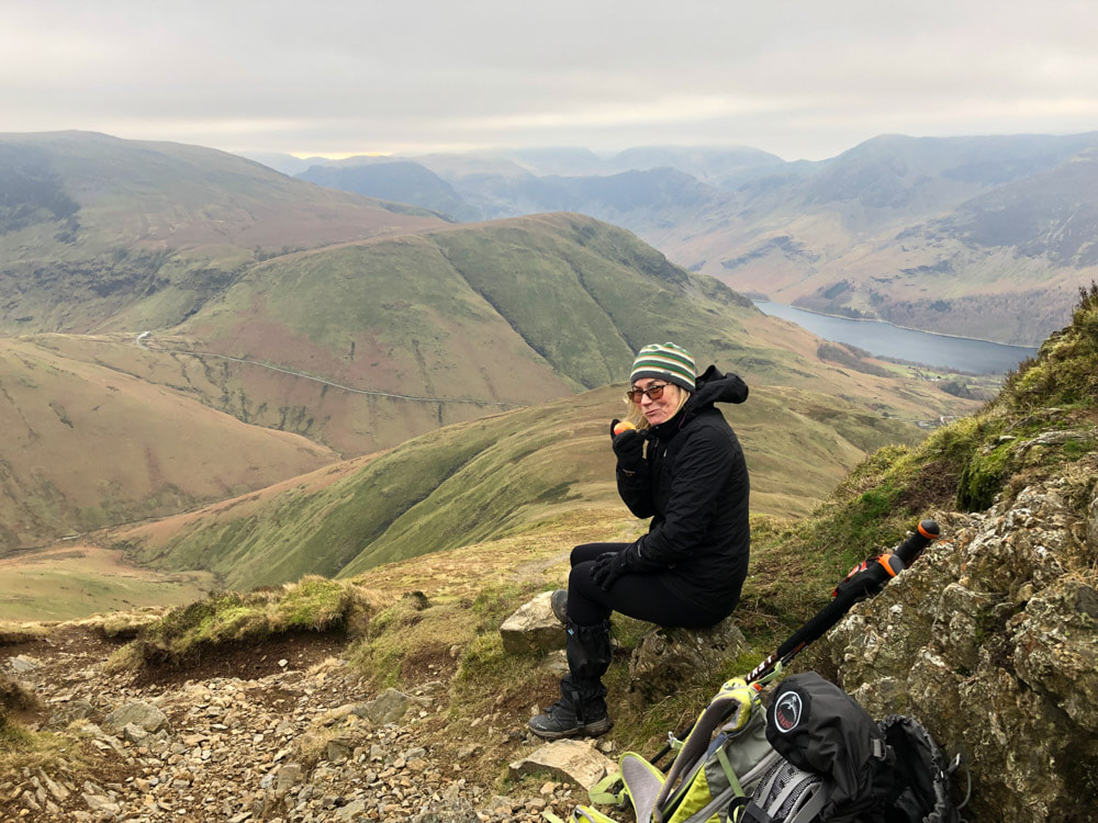
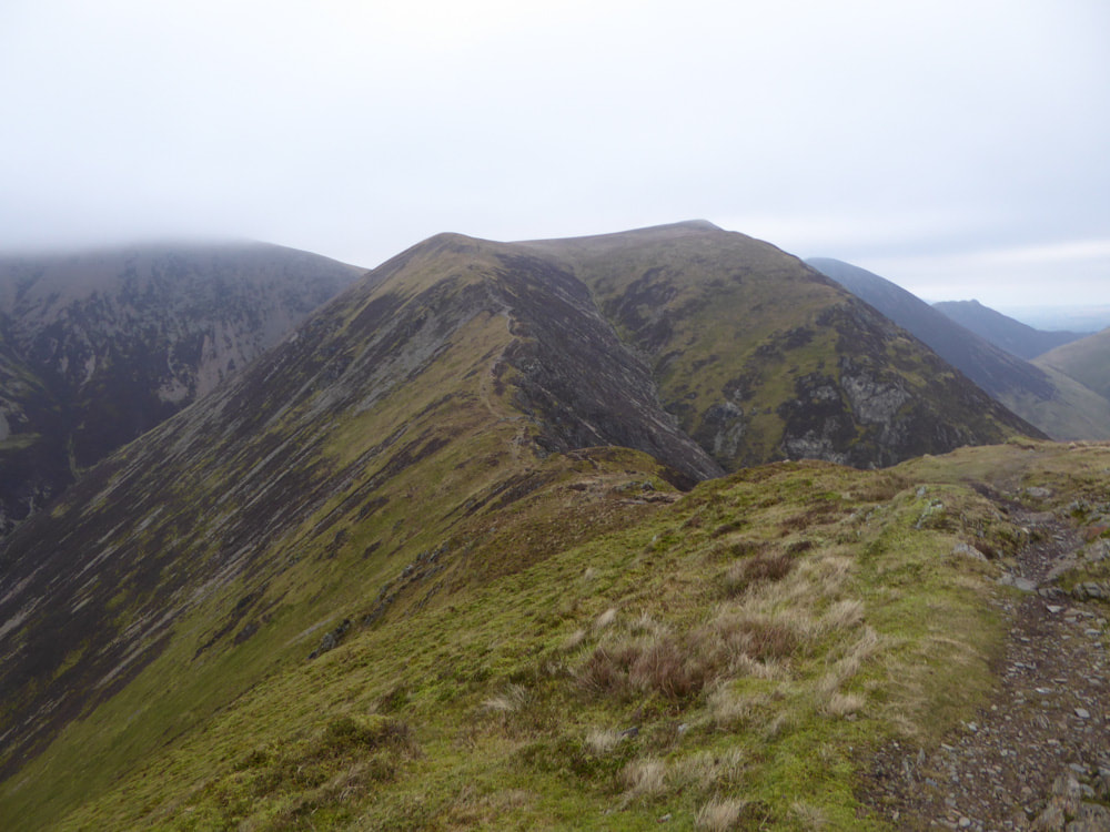
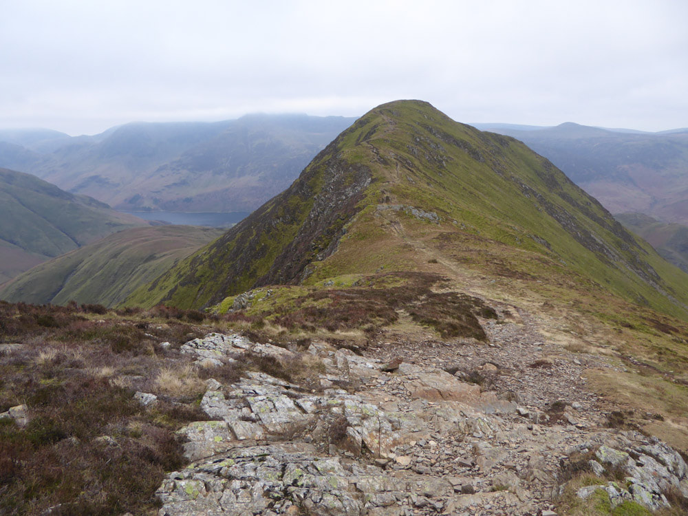
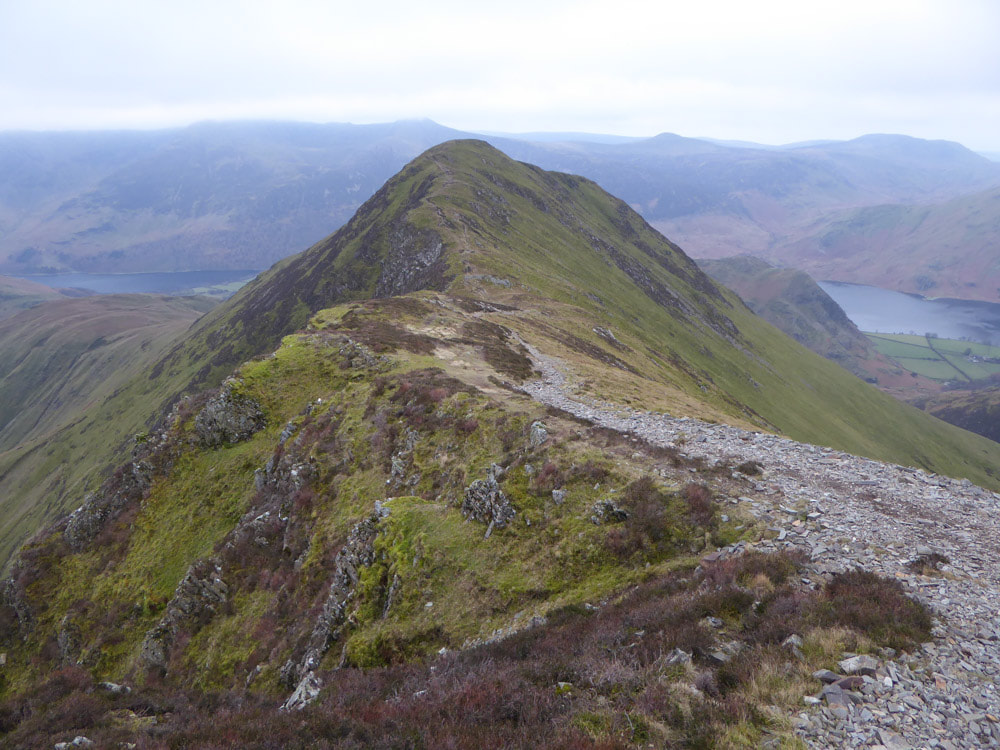
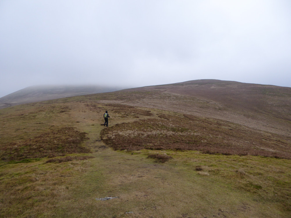
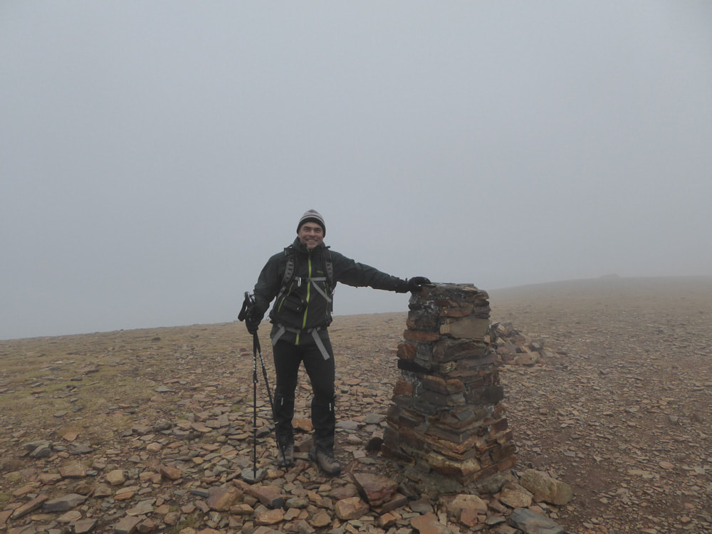
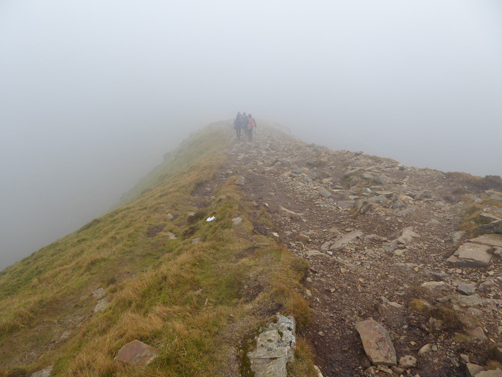
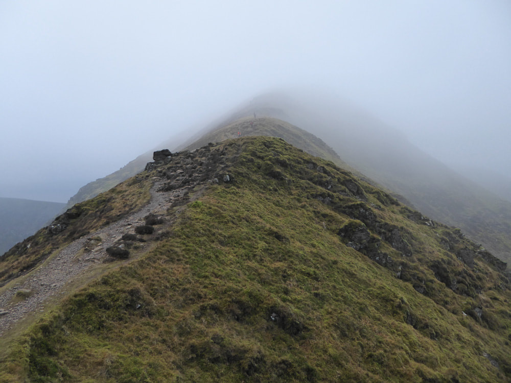
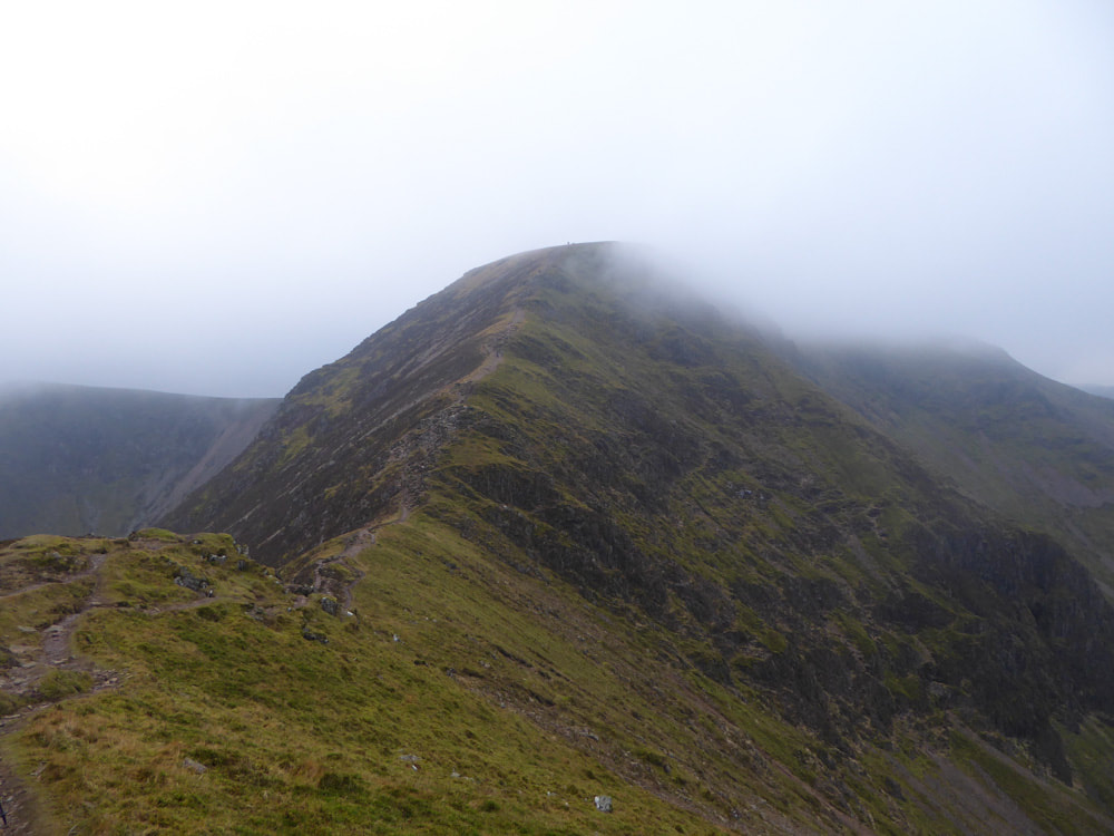
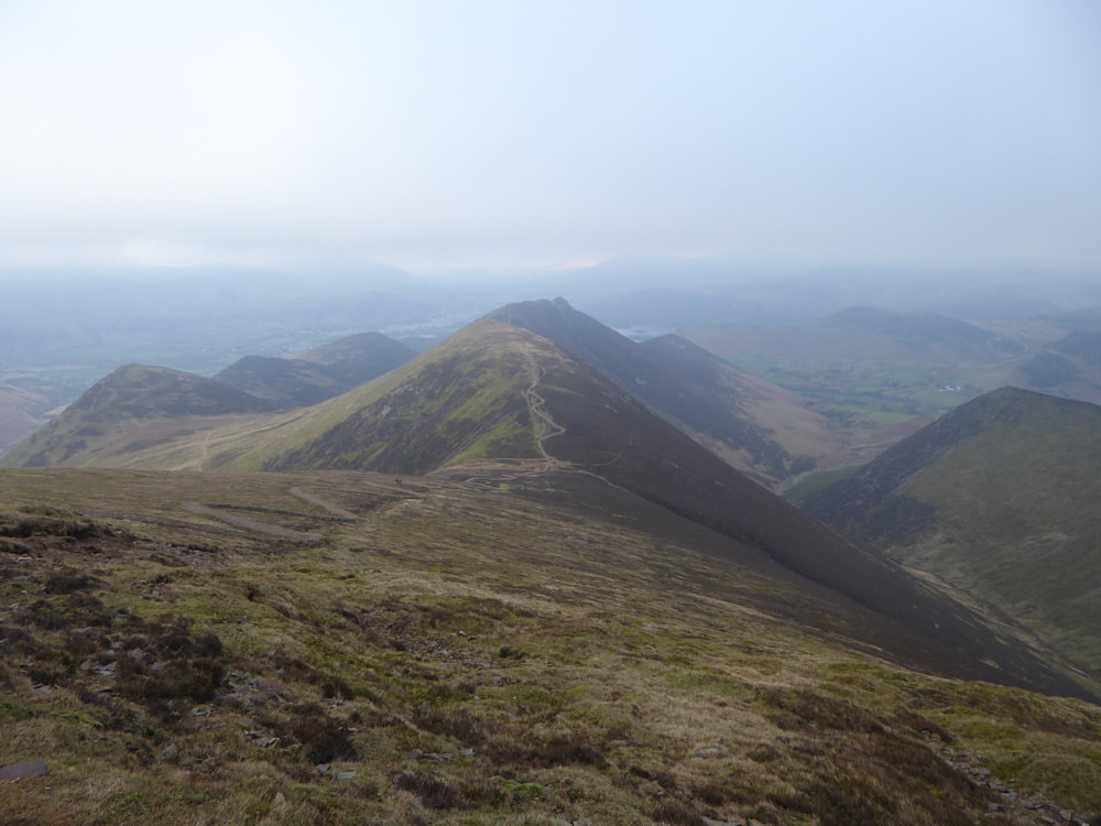
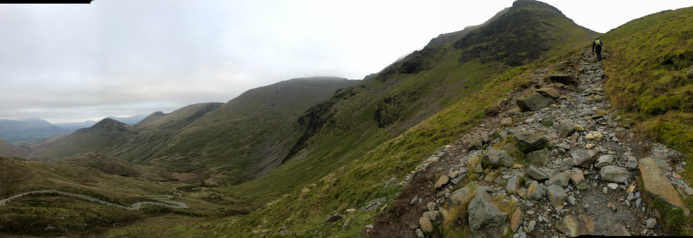
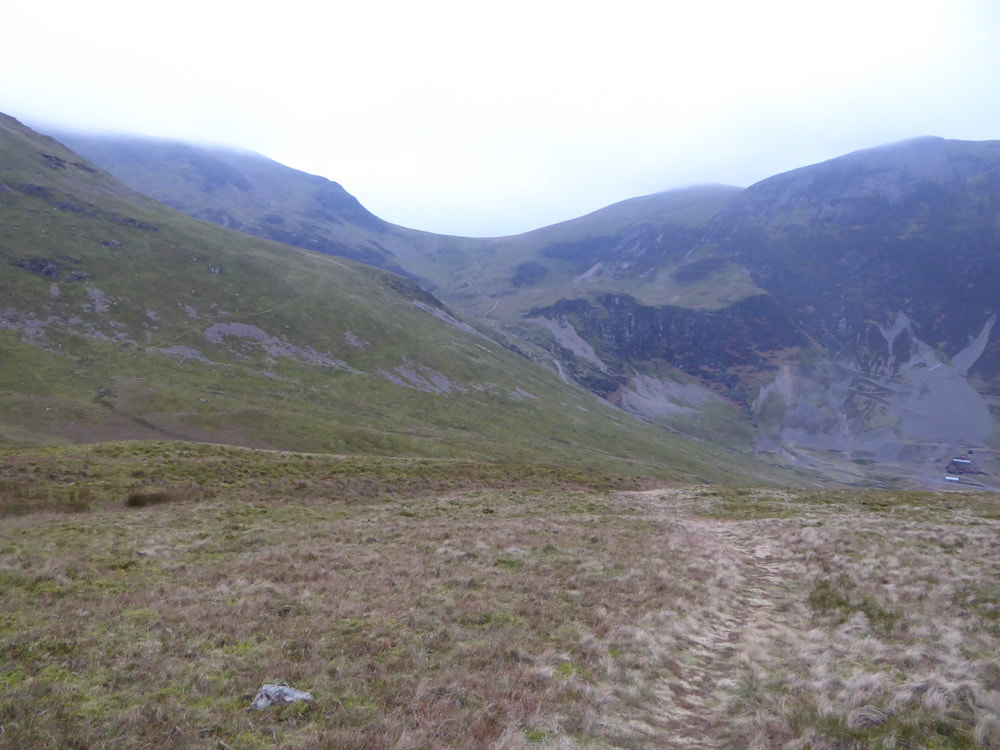
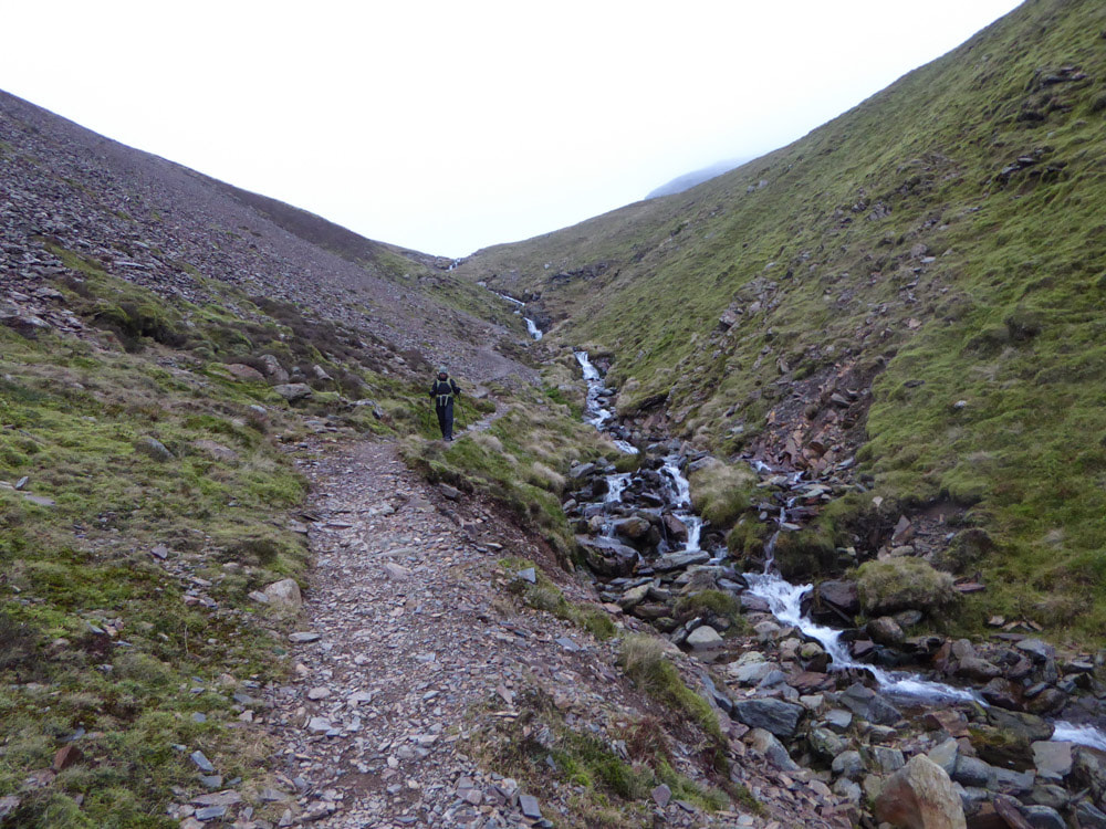
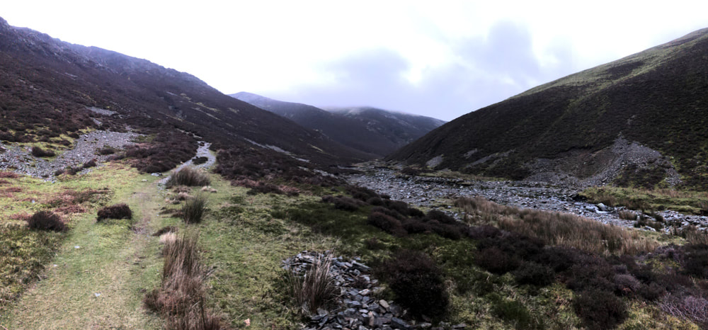
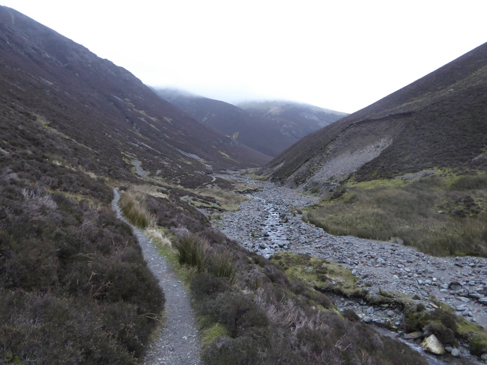
We parked in a small carpark off the B5289 on the eastern side of Crummock Water, close to Rannerdale Knotts. The weather was cloudy with the cloud-base at around 800m. Setting off, we made the steep and strenuous ascent of Rannerdale Knotts, with good views over Crummock Water all the way. Once at the summit we followed the ridge-line ESE - along here there are good views of Buttermere, Whiteless Pike, the dark slopes of Grasmoor - the summit of the latter being shrouded in cloud. At a junction of paths, we turned north to ascend Whiteless Pike, again quite a steep ascent. From the summit the view north is very impressive with the steep-sided ridge of Whiteless Edge in the foreground, the crags and summit cairn of Crag Hill to the NW and again the steep slopes of Grasmoor. Conditions had been very calm on the shores of Crummock Water, but at the summit of Whiteless Pike the wind was much stronger - strong enough to make us consider turning back. In the event the walk along the ridge and subsequent ascent to the insignificant summit cairn of Wandope were very easy going. From here we continued around the edge of Addacombe Hole towards Crag Hill, which was out-of-sight in cloud. The track around the edge of Addacombe Hole bypasses the trig point on the plateau summit of Crag Hill. We should have switched to the main track, leading from Grasmoor, once we saw the large cairns. Instead we made an off-piste ascent once we realised we weren't going to get to the summit on the track we were on - as it happened the direction we took was in a precise line to the trig point. From the summit of Crag Hill we had intended to take the minor path north over Eel Crag - however, I made the mistake of not checking the map and not taking a compass bearing - there was a very obvious line of cairns, and having seen very few people up to this point, there were quite a number of people walking through the mist along this line of cairns and I just assumed this must be the right direction. For the first part of this route it descended steeply over craggy terrain as we were expecting, but then it unexpectedly ascended again (only slightly) to reach the summit cairn of Sail - this was unexpected and we began to suspect we had made a wrong turn - but we were still in cloud and hadn't figured out exactly where we were. Descending out of the clouds from Sail the vista before us included the ridge of Causey Pike, Keswick and Derwent Water. We stopped for lunch with this unexpected view and considered our options. Essentially, we could reverse our steps and re-ascend Sail and the The Scar - the steep craggy route between Sail and Crag Hill, re-entering the cloud and then find the track from Crag Hill and make the steep craggy descent of Eel Crag - or we could follow the longer route that we ended up taking as it was almost entirely visible from where we were sitting. Unfortunately this involved 400m of descent to join a major track past Force Crag Mine, followed by 300m of re-ascent to reach Coledale Hause. This turned out to be fairly easy going. The same cannot be said for the descent through Gasgale Gill back to Crummock Water. This 3km section of track is largely on steep-sided scree and is subject to frequent landslips - in fading light the going was not at all easy (in icy conditions, I think this may have proved impassable - fortunately it was not icy). Once down we had a 2km walk along the road, in the dark, to get back to the car.
Click on an image to enlarge and see the captions and scroll through