Moor House - Upper Teesdale NNR - 17/04/2021
The drive from Smithy House via Orton and Kirkby Stephen takes ~1h15m and is scenic all the way as it passes through the Eastern Lake District, the Westmoorland Dales (part of the Yorkshire Dales NP) and into the Pennine AONB.
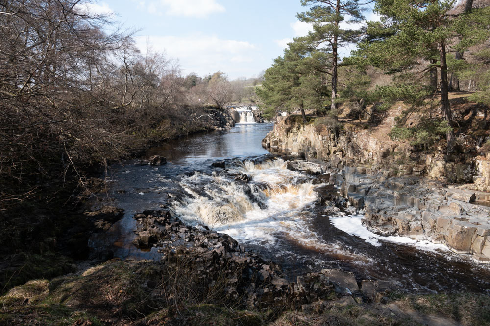
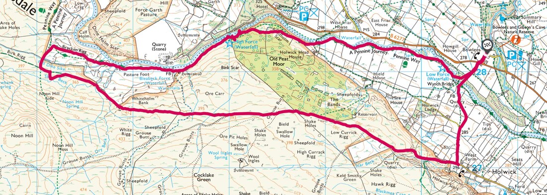
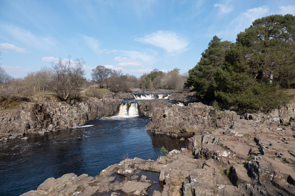
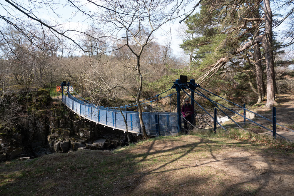
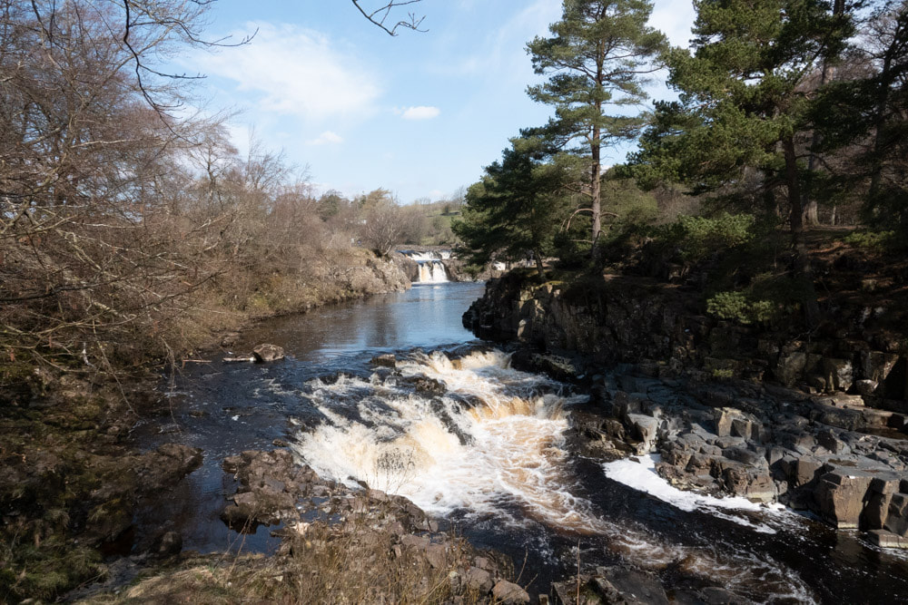
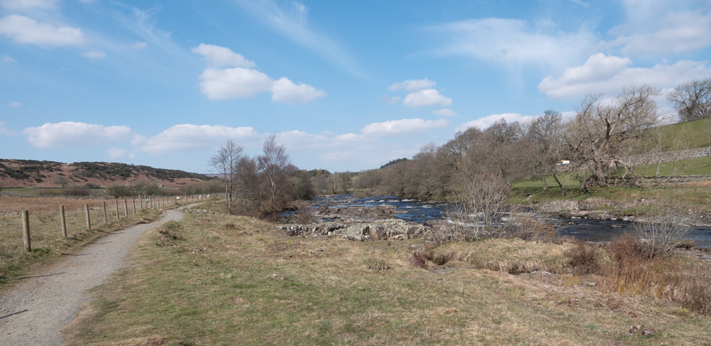
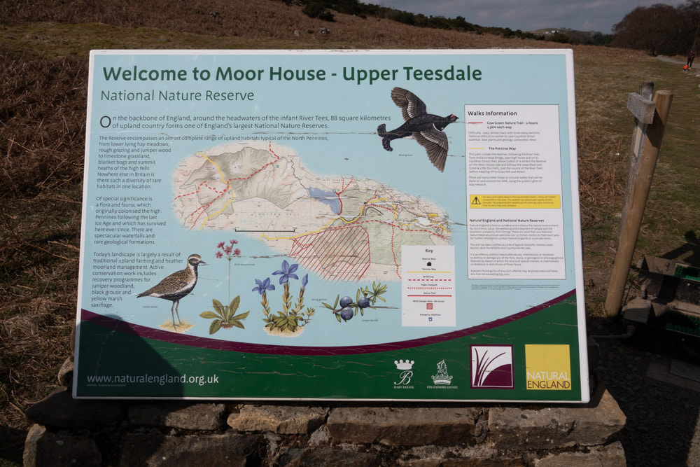
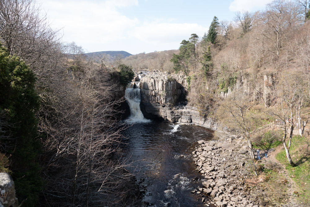
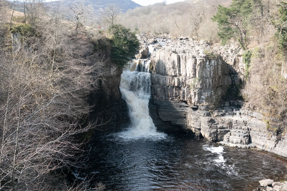
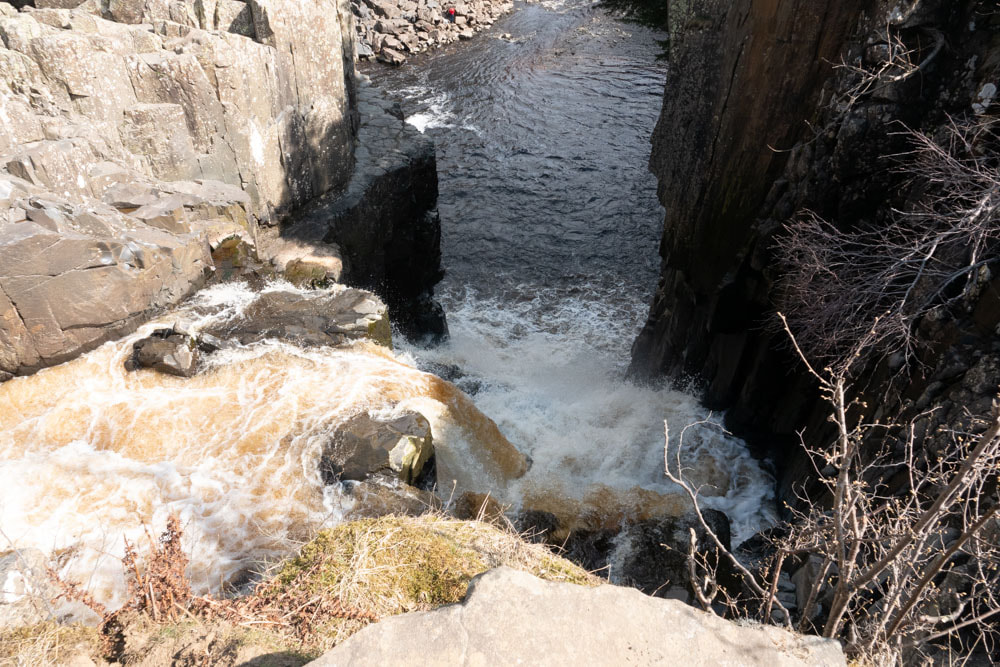
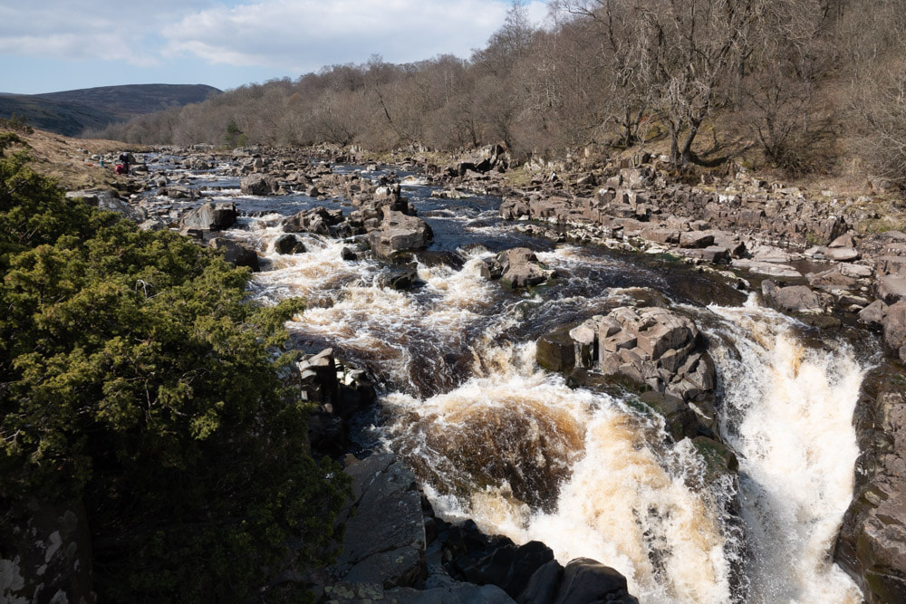
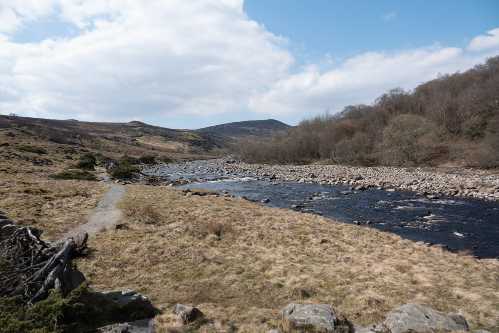
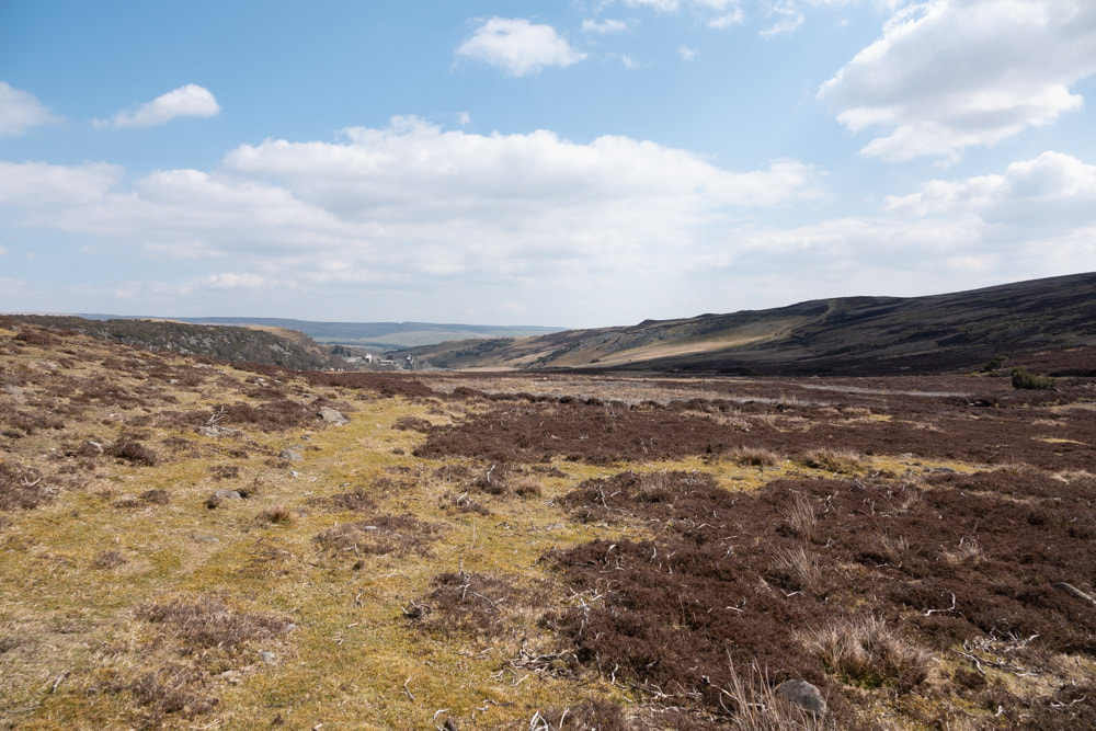
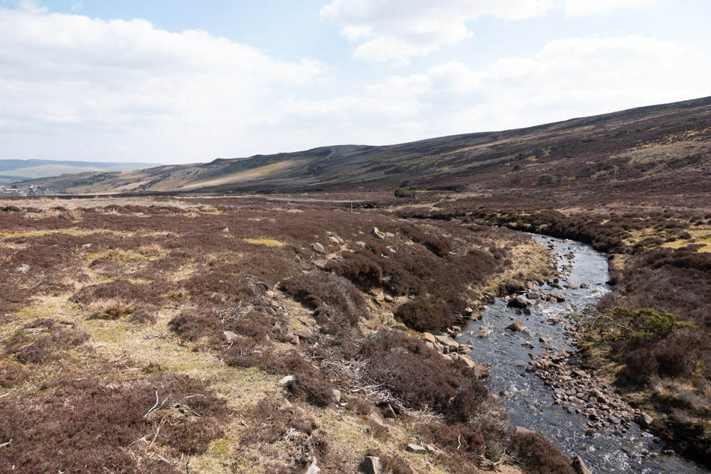
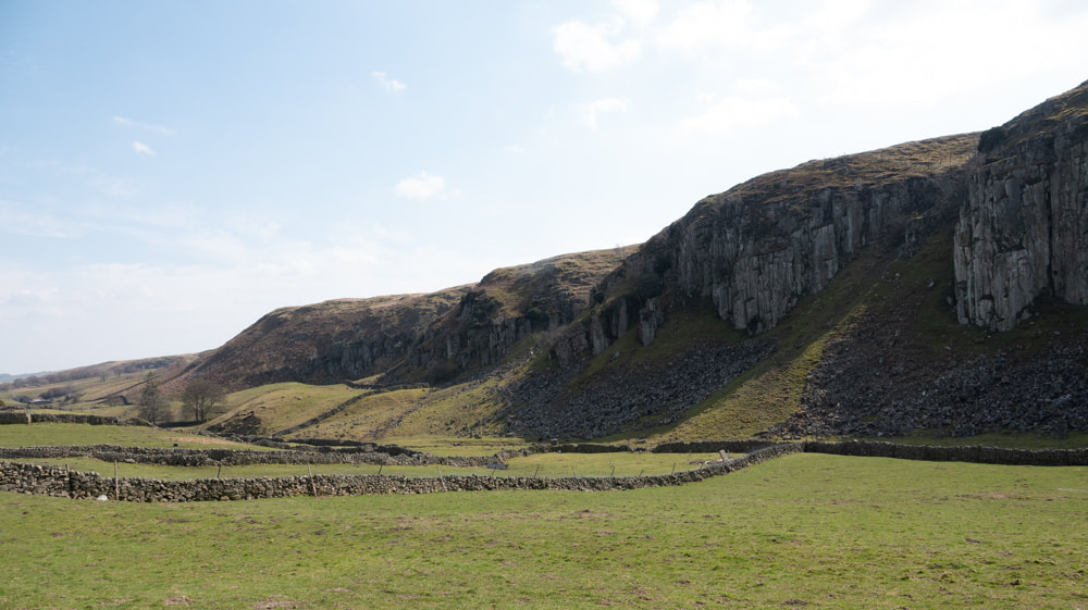
We parked at the Bowlees visitor centre near Middleton-in-Teesdale. The Natural England pamphlet offers 3 walking routes in the nature reserve. We did Walk 2b which goes from Low Force to High Force and west along the Penine Way on the south side of the River Tees - and then returns east across the grouse moors. Distance 12km; Ascent 365m; Time 5h. Even though it had not rained for ~10 days the waterfalls were impressive. The walk along the river as far as High Force was popular (and we visited on a Saturday), but most people return the way they came from here (Walk 2a). This section of the walk passes through probably the best example of native Juniper woodland in England. The path in this first section is well made and easy to follow. The remainder of the route is fairly straightforward but a map is needed to be sure you are on the right path. The last quarter is on a hard track for part of the way and this is a little tedious, but we did find some good wildlife along the way and so it is definitely worthwhile.
We parked at the Bowlees visitor centre near Middleton-in-Teesdale. The Natural England pamphlet offers 3 walking routes in the nature reserve. We did Walk 2b which goes from Low Force to High Force and west along the Penine Way on the south side of the River Tees - and then returns east across the grouse moors. Distance 12km; Ascent 365m; Time 5h. Even though it had not rained for ~10 days the waterfalls were impressive. The walk along the river as far as High Force was popular (and we visited on a Saturday), but most people return the way they came from here (Walk 2a). This section of the walk passes through probably the best example of native Juniper woodland in England. The path in this first section is well made and easy to follow. The remainder of the route is fairly straightforward but a map is needed to be sure you are on the right path. The last quarter is on a hard track for part of the way and this is a little tedious, but we did find some good wildlife along the way and so it is definitely worthwhile.
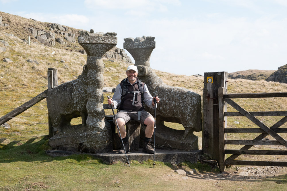
The Walk: click on an image below to enlarge and scroll through
The wildlife:
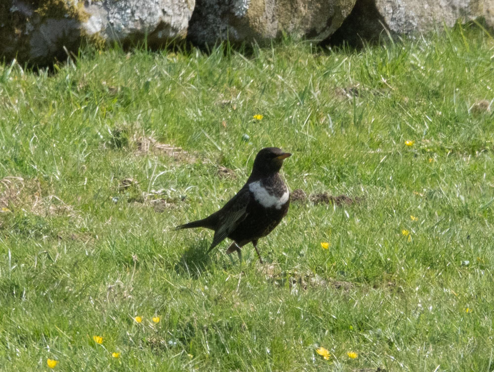
There were several common woodland birds in the area around the Wynch Bridge. Along the river we found pairs of Goosander and Common Sandpiper and individual Grey Wagtails (but surprisingly no Dipper). On the moors Red Grouse were much in evidence (Black Grouse also lek here but we were too late in the day to see them) (and we didn't see any raptors other than Kestrel). On farmland by Holwick scars we found a field with 4 male and 1 female Ring Ouzel. On the moors and farmland there were many pairs of Curlew and Lapwing and the occasional Golden Plover and Redshank. The only mammal we saw was Rabbit. The only Lepidopteran was Peacock Butterfly.
There were several common woodland birds in the area around the Wynch Bridge. Along the river we found pairs of Goosander and Common Sandpiper and individual Grey Wagtails (but surprisingly no Dipper). On the moors Red Grouse were much in evidence (Black Grouse also lek here but we were too late in the day to see them) (and we didn't see any raptors other than Kestrel). On farmland by Holwick scars we found a field with 4 male and 1 female Ring Ouzel. On the moors and farmland there were many pairs of Curlew and Lapwing and the occasional Golden Plover and Redshank. The only mammal we saw was Rabbit. The only Lepidopteran was Peacock Butterfly.
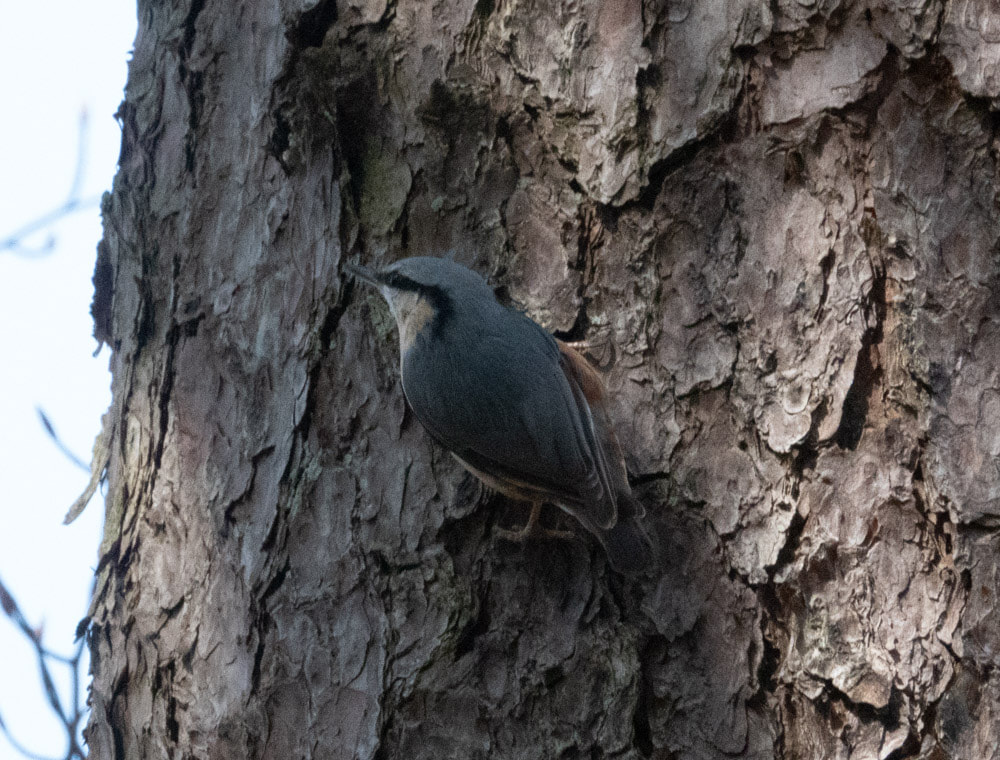
Nuthatch
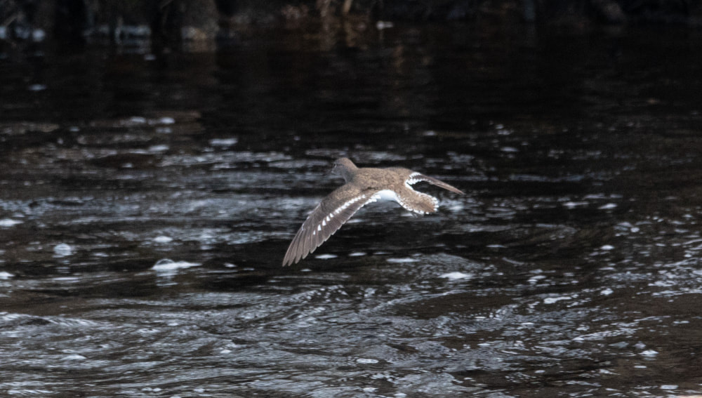
Common Sandpiper
|
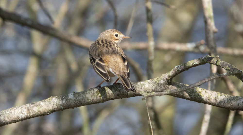
Meadow Pipit
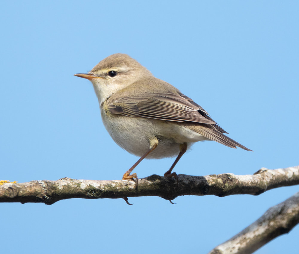
Willow Warbler
|
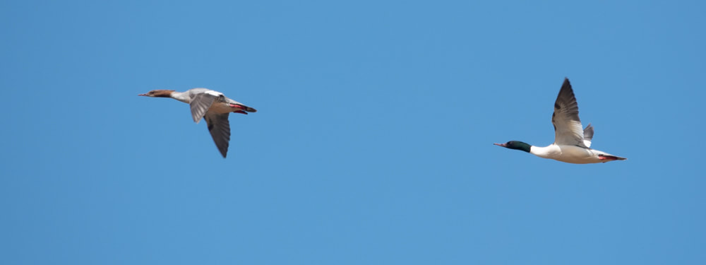
Goodander
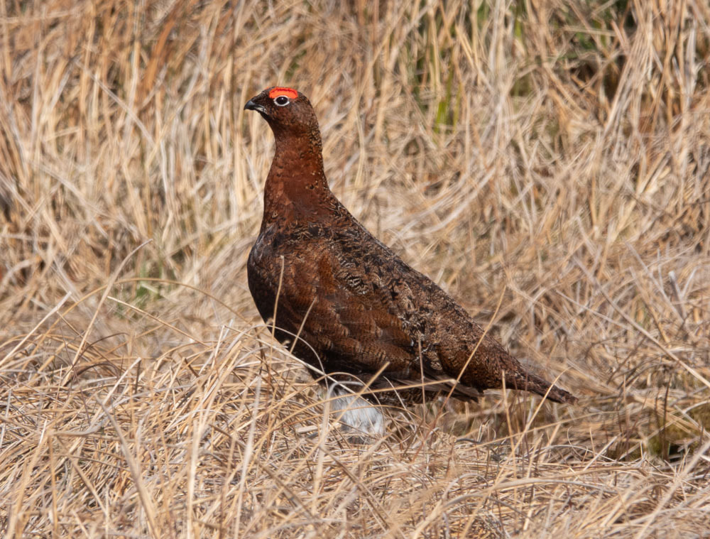
Red Grouse
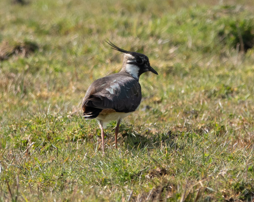
Lapwing
|
Ring Ouzel
|
