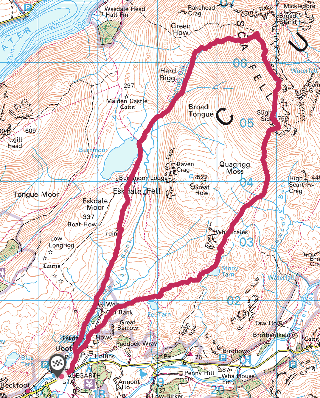
Scafell (964m) and Slight Side (762m) - 25/04/2021
Distance 16.5km; Ascent: 1114m; Time 7h
|
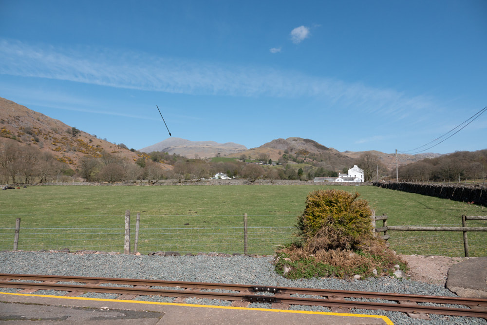
Scafell is the 2nd highest point in England, after its close neighbour, Scafell Pike. I have previously done the pair from Wasdale Head (which is by far the most popular and probably easiest route). Starting from Dalegarth Station, Scafell looks a long way off (see image right in which Scafell is arrowed).
The path from Boot to Burnmoor Tarn follows the west side of Whyllan Beck and is easy going. I would think the area north of the tarn could become impassably boggy after much rain, but I did this is dry conditions. The grassy path becomes less distinct, and steeper, from here but follows the west side of Hardrigg Gill. I went closer to the gill than the OS map path to get a better view of its many cascades - having done so it became easier to ascend on the pathless east side of the upper section of the gill, rejoining the OS mapped path at the top of the gill. From here the route is much less clearly marked on the ground, steep and rocky. |
|
|
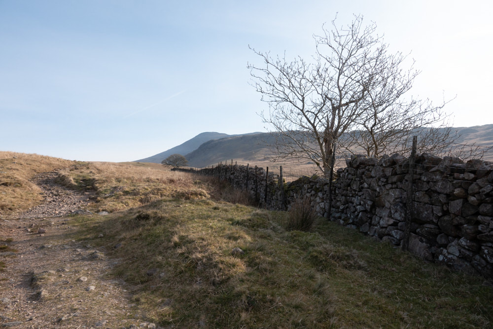
Left: Looking ahead to Scafell from a little way up from Boot
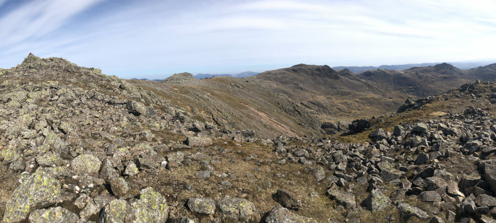
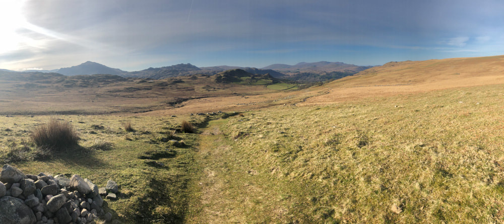
Above: Looking back from the ascent route |
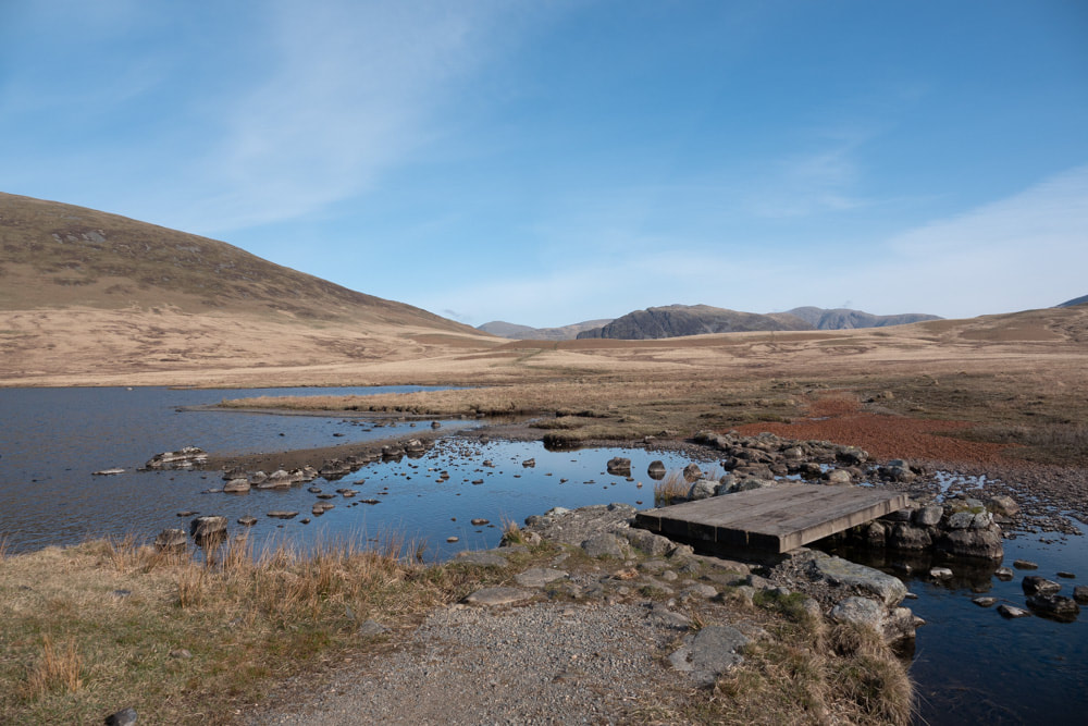
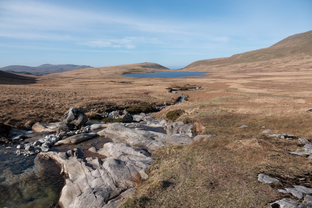
Right: crossing Whyllan Beck at Burnmoor Tarn and on to the potentially very boggy flattish section beyond
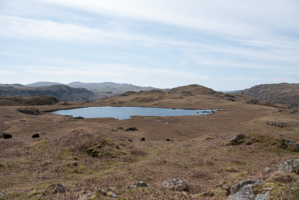
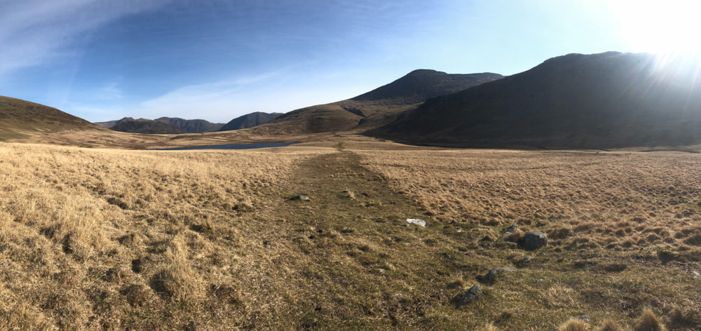
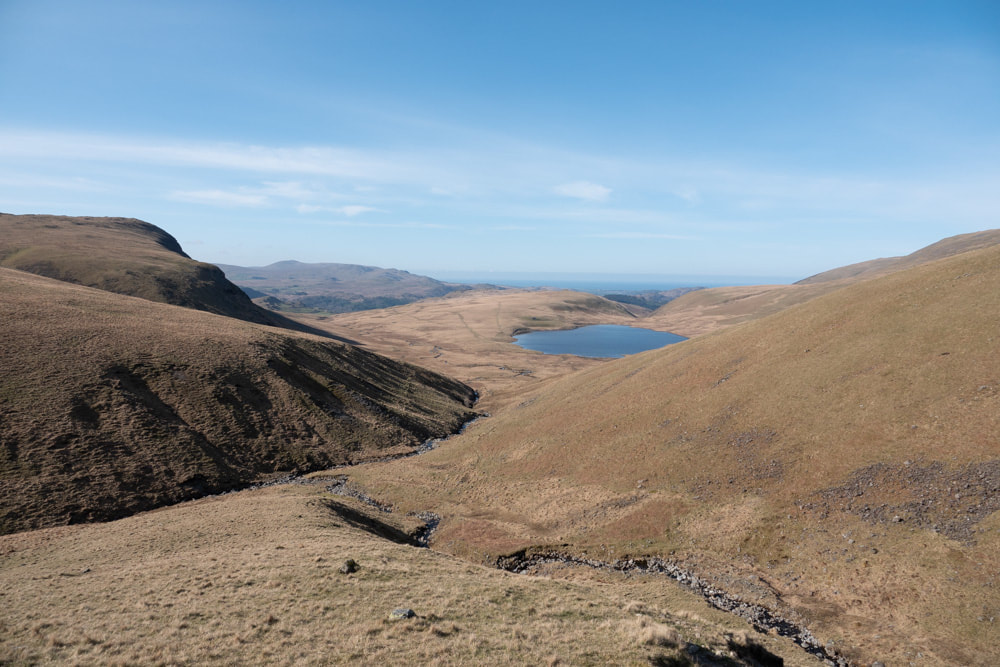
Below: Looking back at Burnmoor Tarn from Hardrigg Gill |
|
|
|
|
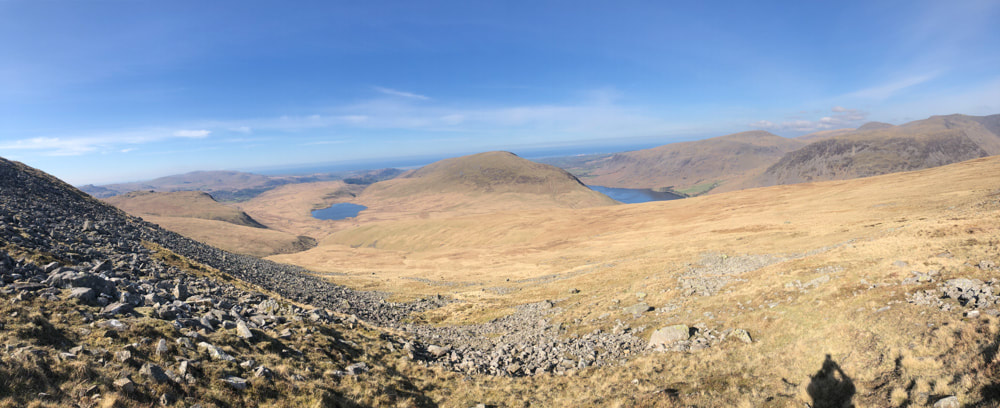
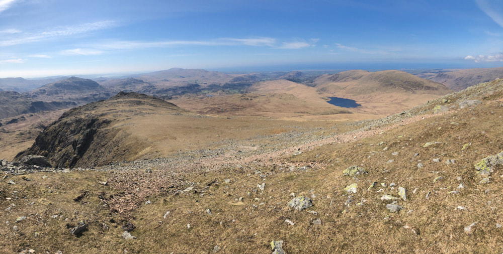
Above: Looking back from higher up, Wast Water comes into view and the views of the coast become more extensive
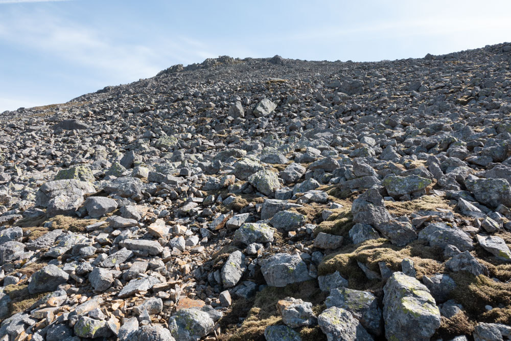
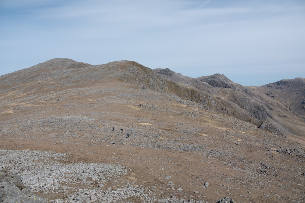
Right: Looking ahead towards the summit, there are ~400m of ascent across rocks. Although a path is marked on the map it is indicated on the ground just by an occasional small cairn. These cairns are more chanced upon than used to guide your route. Although this looks somewhat daunting (and it is certainly strenuous), there are grassy sections between the rocks and for the most part the rocks are stable - but I would not want to descend this way. 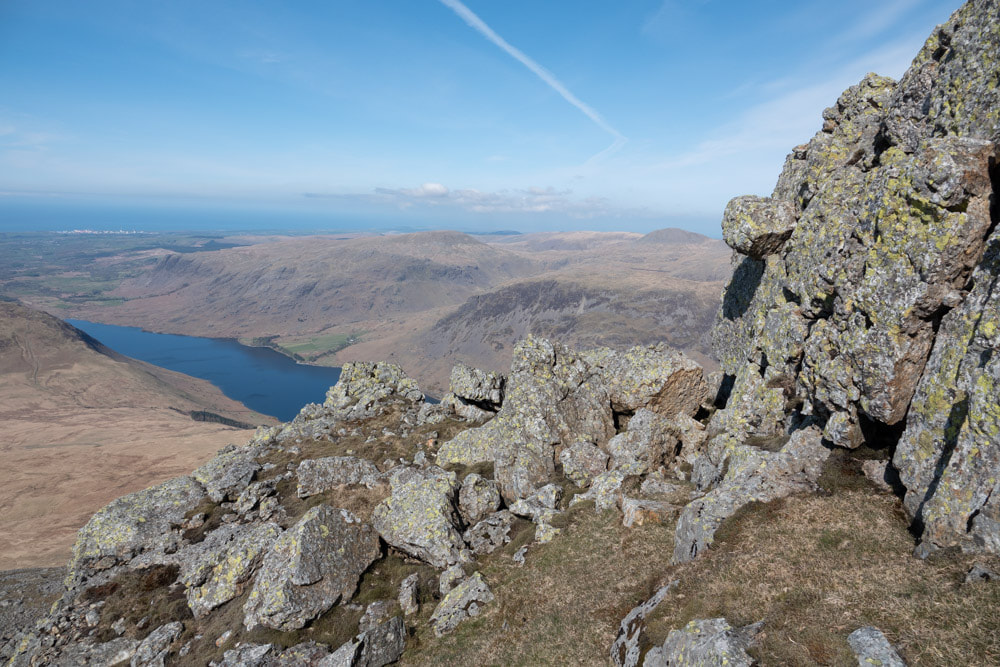
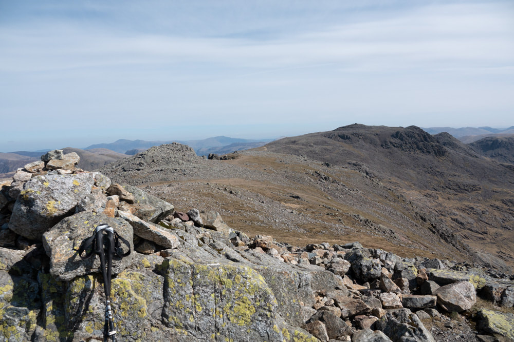
Right: Summit of Scafell with Scafell Pike to the right
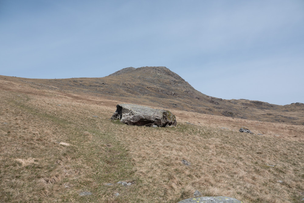
Below: Looking on towards Slight Side 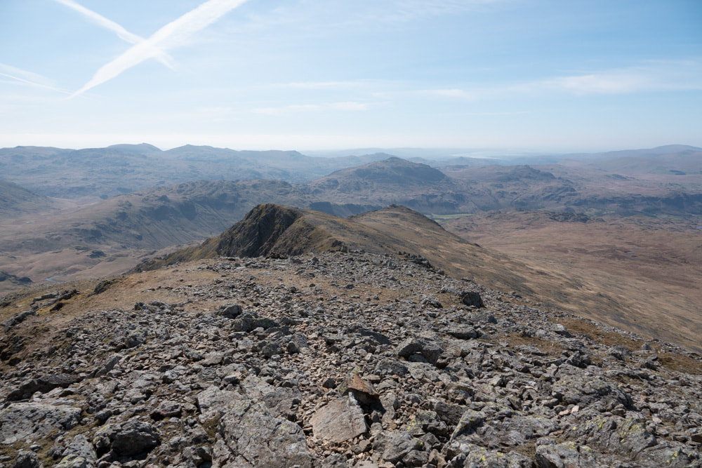
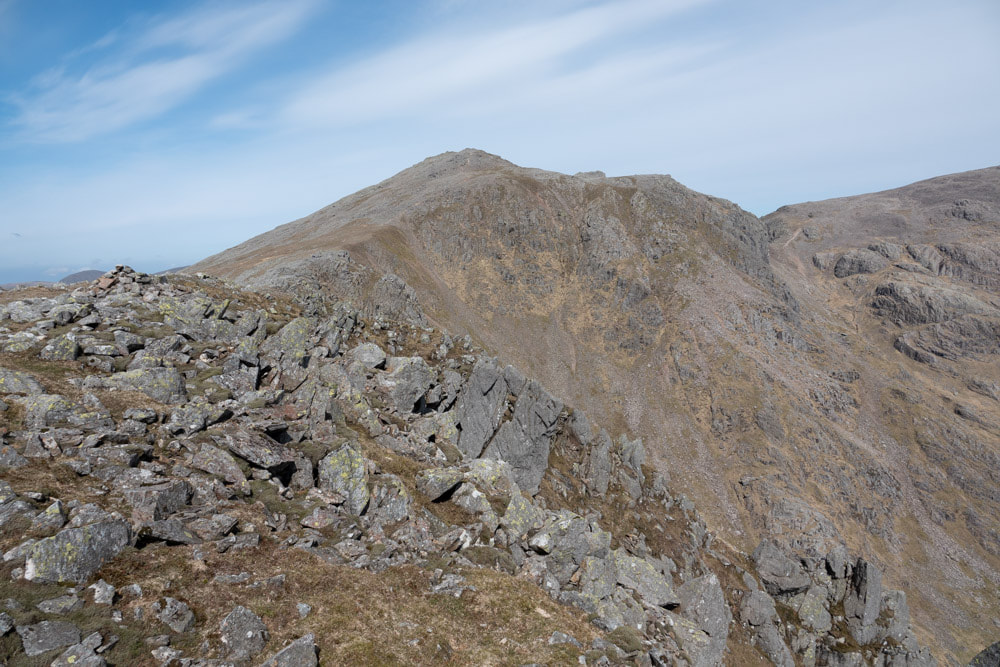
Right: Looking back at Scafell |
|
Looking back to Scafell from Slight Side
The main descent path from Slight Side leads to the parking area at Birdhow. The path marked on the map leading past Stony Tarn and Eel Tarn does not exist on the ground, at least not with any degree of clarity. Beyond Eel Tarn the route back to Boot is fairly clear.
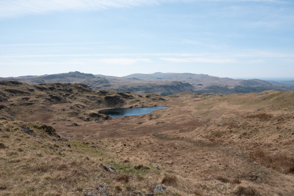
Right: Stony Tarn Below: Eel Tarn |
Looking back at Slight Side
|