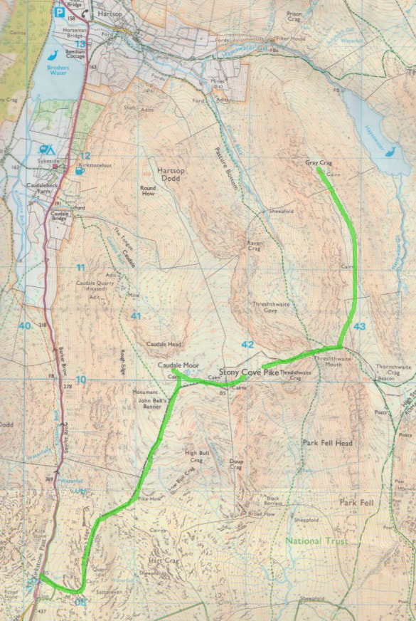
Caudale Moor (763m) and Grey Crag (699m)
Distance: 13km, Ascent: 600m, Time 5h
We almost didn't make it out today, I was stuck into a jigsaw and Alison into a book and it had just started raining, however.....
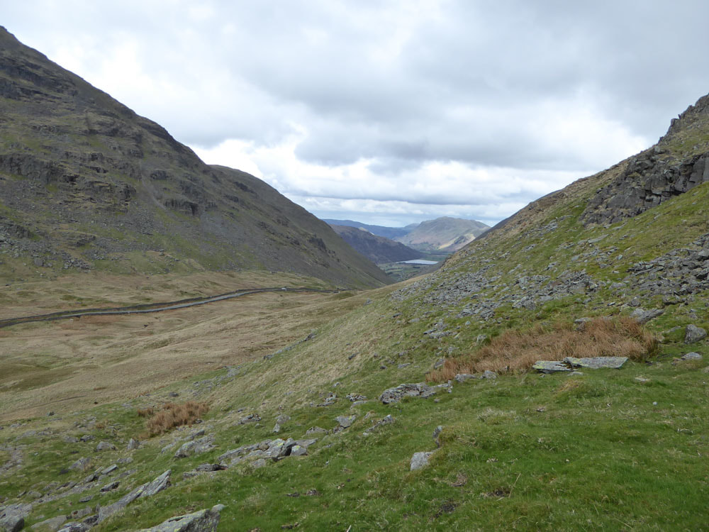
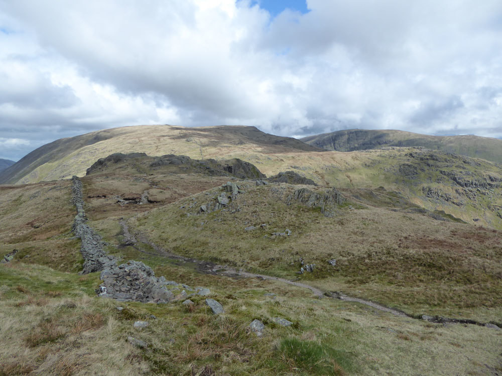
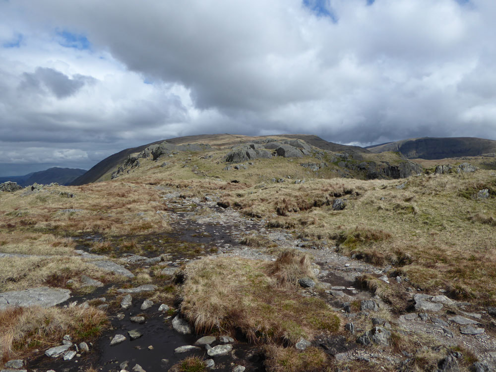
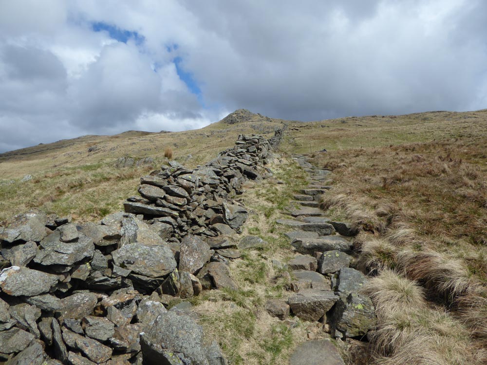
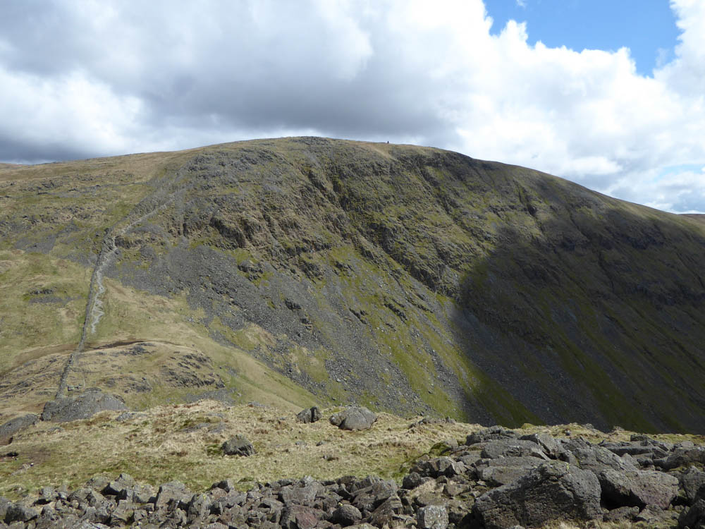
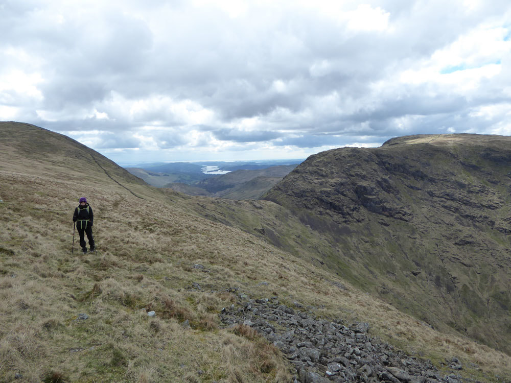
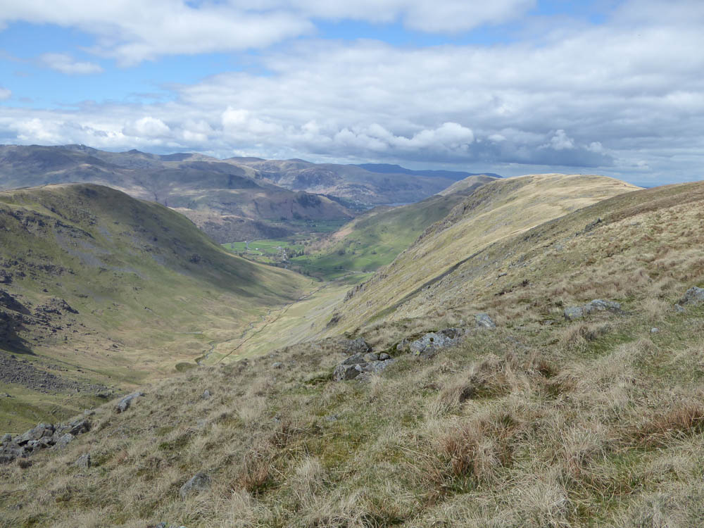
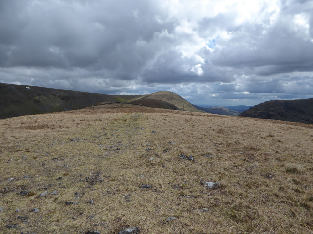
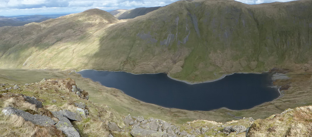
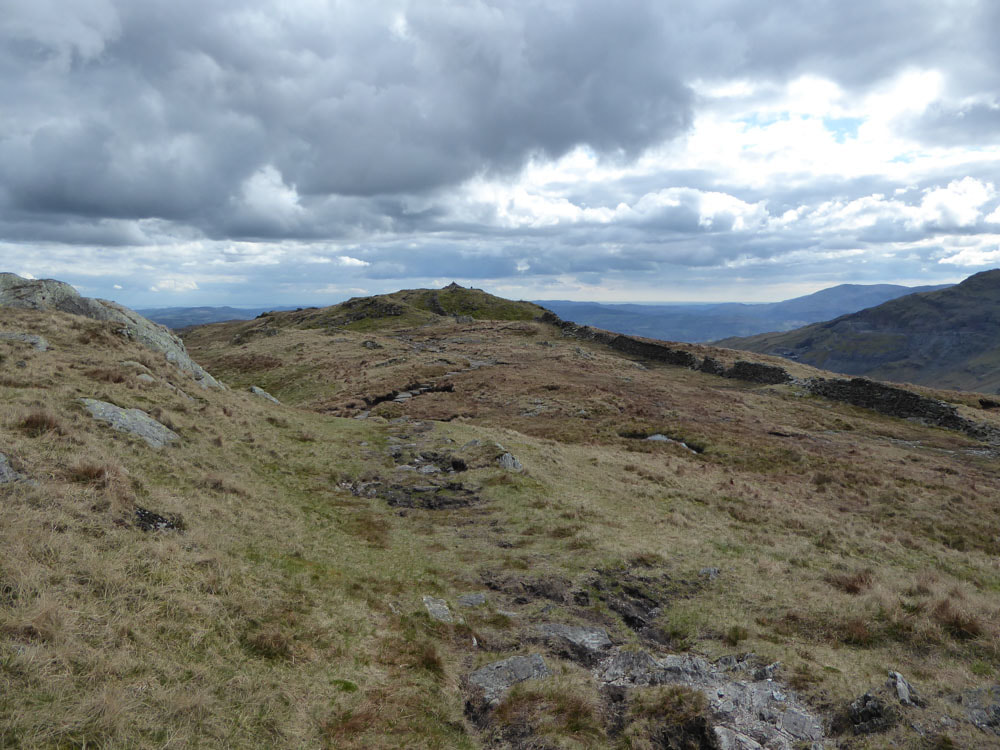
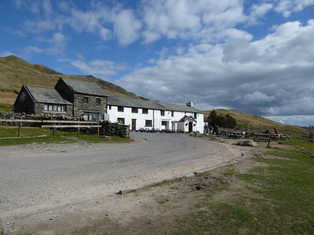
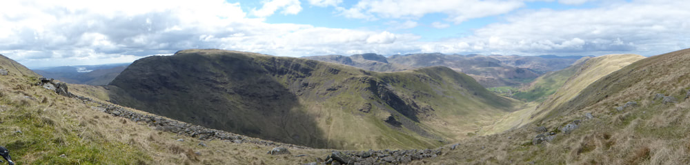
We parked opposite the Kirkstone Inn at the highest point on the Kirkstone pass. Today was about ticking off a couple of hills we hadn't visited on previous walks in this area and although starting at 455m felt a bit like cheating we did have to tackle Threshthwaite mouth twice. The ascent Pike How along St Ravens Edge was fairly steep and involved some minor scrambling. From there the path towards Stony Cove Pike is clear. There is a cairn at ~740m, just off the main path, about 500m before the summit of Stony Cove Pike, which the OS maps label as Caudale Moor; however the Wainright, which is called Caudale Moor and with an altitude of 763m, is labelled on the OS maps as Stony Cove Pike. We went to both. The steep rocky descent to Threshthwaite Mouth involves some easy scrambling. After reaching the pass we only climbed a little of the steep ascent towards the Thornthwaite beacon, before cutting across towards Grey Crag on sheep tracks. There is a long broad ridge extending from Thornthwaite Crag (784m) to Grey Crag. After the initial drop off the highest point along this ridge is ~ halfway along the ridge at 710m - so the summit of Grey Crag at the end of the ridge is not at the highest point along the ridge. We stopped for lunch during a sunny interval (at ~2pm) and enjoyed the views of the surrounding mountains. After reaching the summit cairn of Grey Crag and looking a Hayeswater we returned the way we had come.
We parked opposite the Kirkstone Inn at the highest point on the Kirkstone pass. Today was about ticking off a couple of hills we hadn't visited on previous walks in this area and although starting at 455m felt a bit like cheating we did have to tackle Threshthwaite mouth twice. The ascent Pike How along St Ravens Edge was fairly steep and involved some minor scrambling. From there the path towards Stony Cove Pike is clear. There is a cairn at ~740m, just off the main path, about 500m before the summit of Stony Cove Pike, which the OS maps label as Caudale Moor; however the Wainright, which is called Caudale Moor and with an altitude of 763m, is labelled on the OS maps as Stony Cove Pike. We went to both. The steep rocky descent to Threshthwaite Mouth involves some easy scrambling. After reaching the pass we only climbed a little of the steep ascent towards the Thornthwaite beacon, before cutting across towards Grey Crag on sheep tracks. There is a long broad ridge extending from Thornthwaite Crag (784m) to Grey Crag. After the initial drop off the highest point along this ridge is ~ halfway along the ridge at 710m - so the summit of Grey Crag at the end of the ridge is not at the highest point along the ridge. We stopped for lunch during a sunny interval (at ~2pm) and enjoyed the views of the surrounding mountains. After reaching the summit cairn of Grey Crag and looking a Hayeswater we returned the way we had come.
Click on an image to enlarge and scroll through