High Tove (515m), Ullscarf (726m), Great Crag (450m) - 17/06/2019
Distance: 12km; Ascent: 500m; Time: 5h 30m
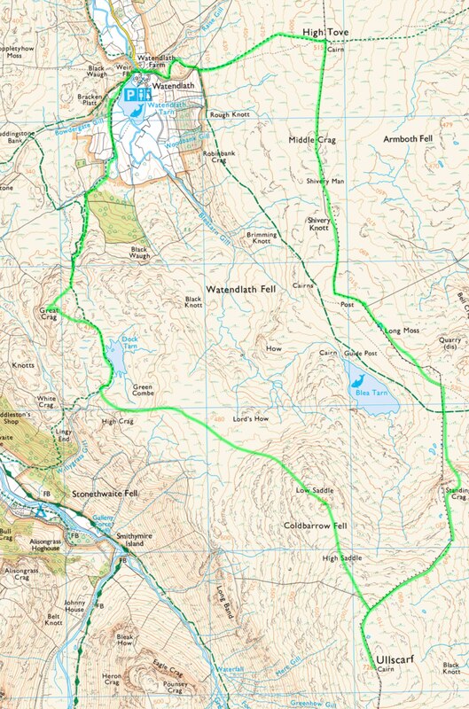
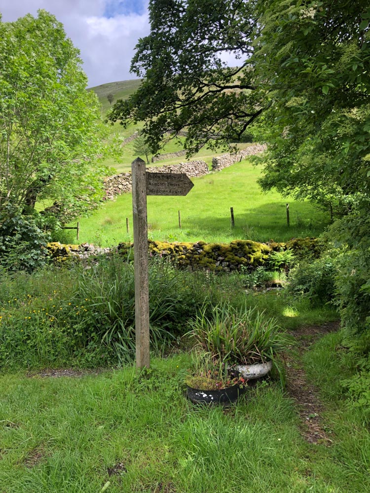
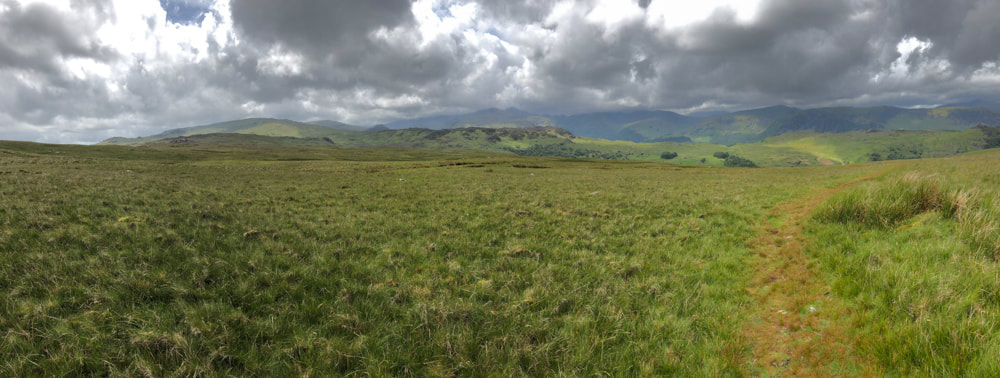
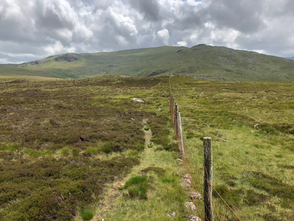
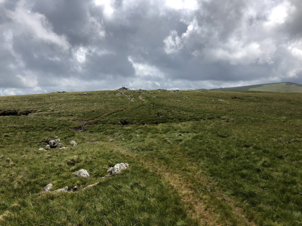
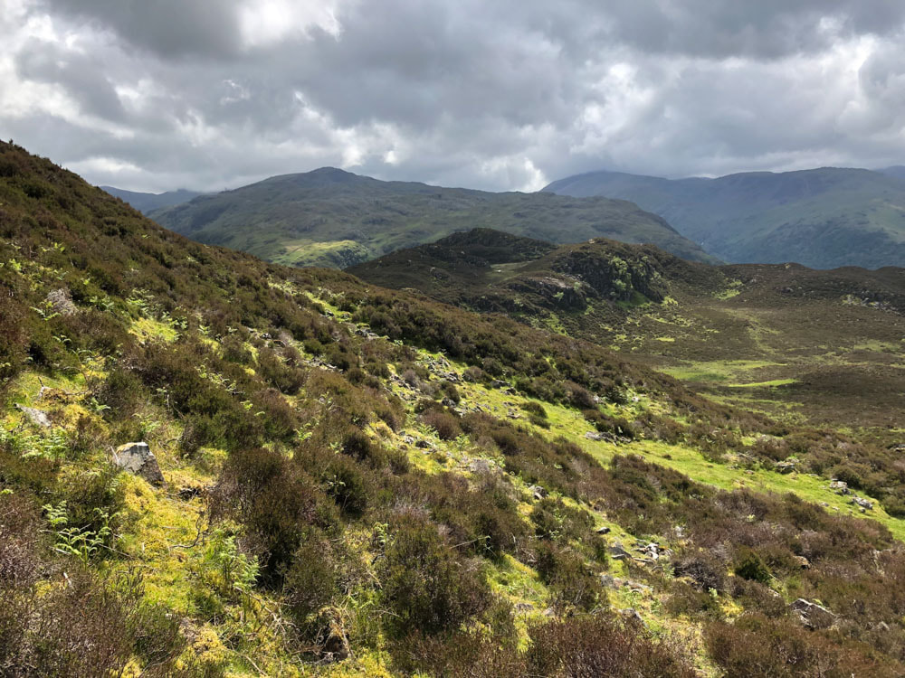
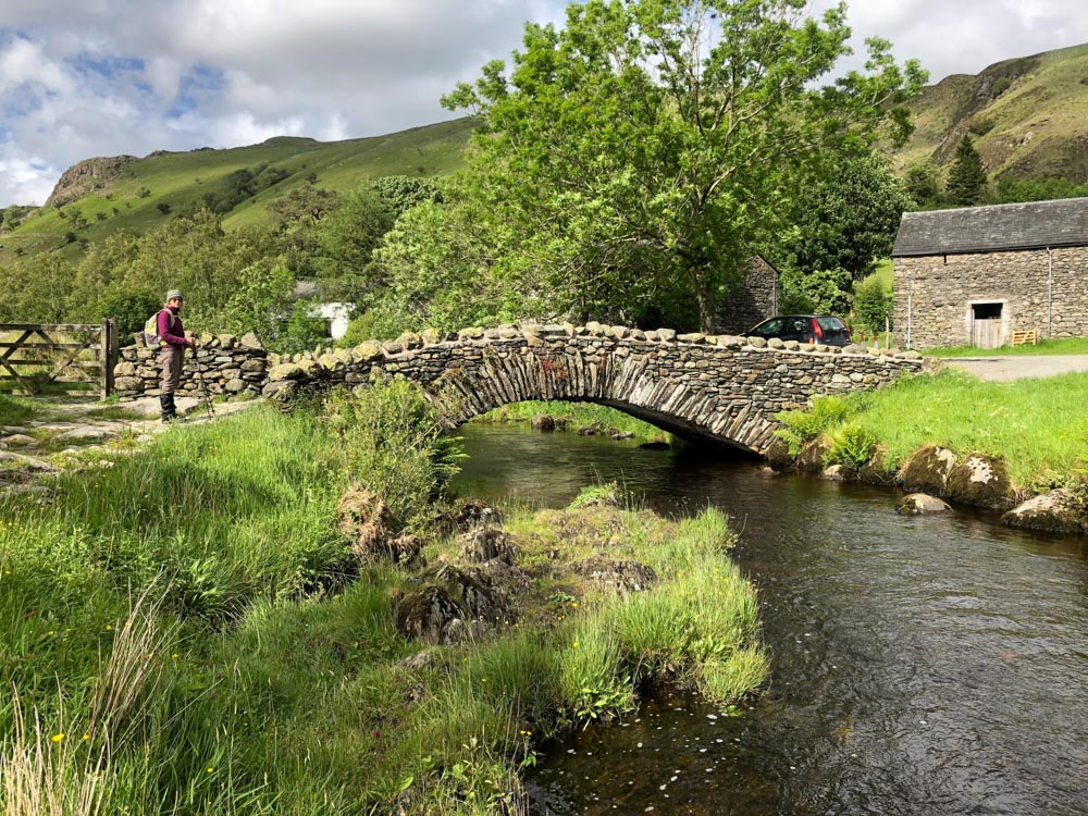
Park in the National Trust car park at Watendlath (free to members, currently £7.50 for non-members). The walk starts at ~250m altitude, so we get a bit of a head start on the ascent. Follow the public bridleway, heading east from near the car park entrance, and signed to Armboth and Wythburn. After an initial steep climb, the main path to Blea Tarn heads off SE (and if you want to head straight to Ullscarf, this is the better path). We continued up and east to reach the summit of High Tove - really just a bump in the long plateau'd ridge from High Seat to Ullscarf.
|
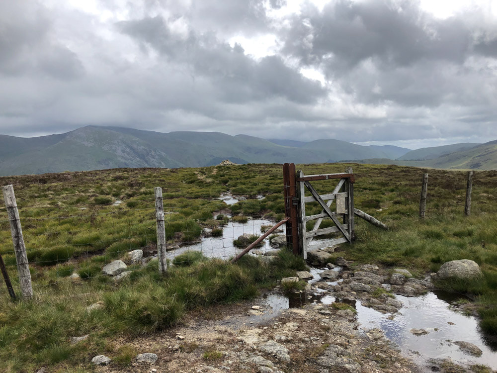
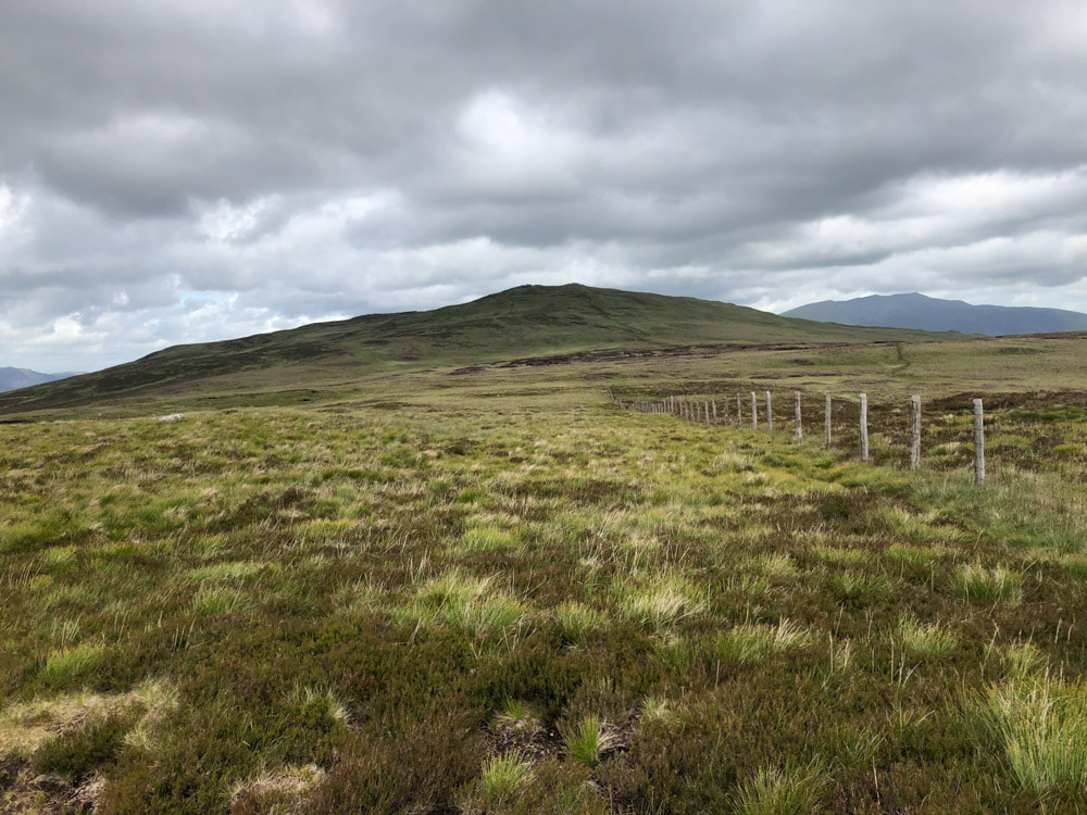
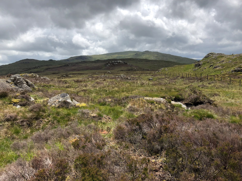
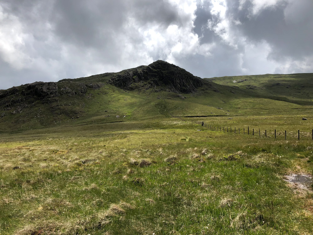
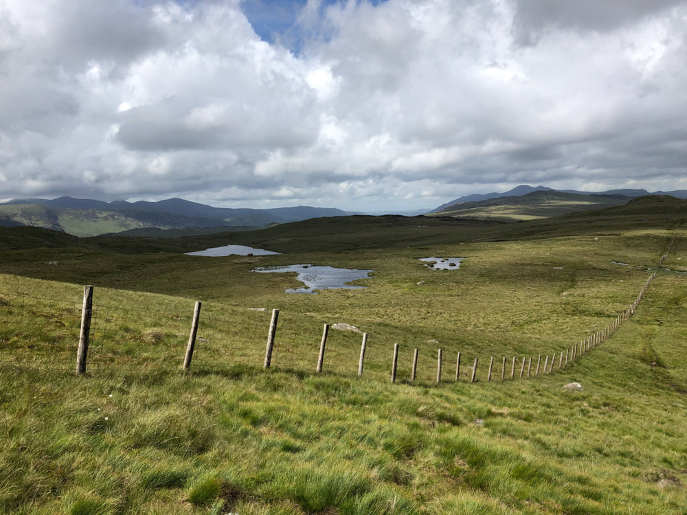
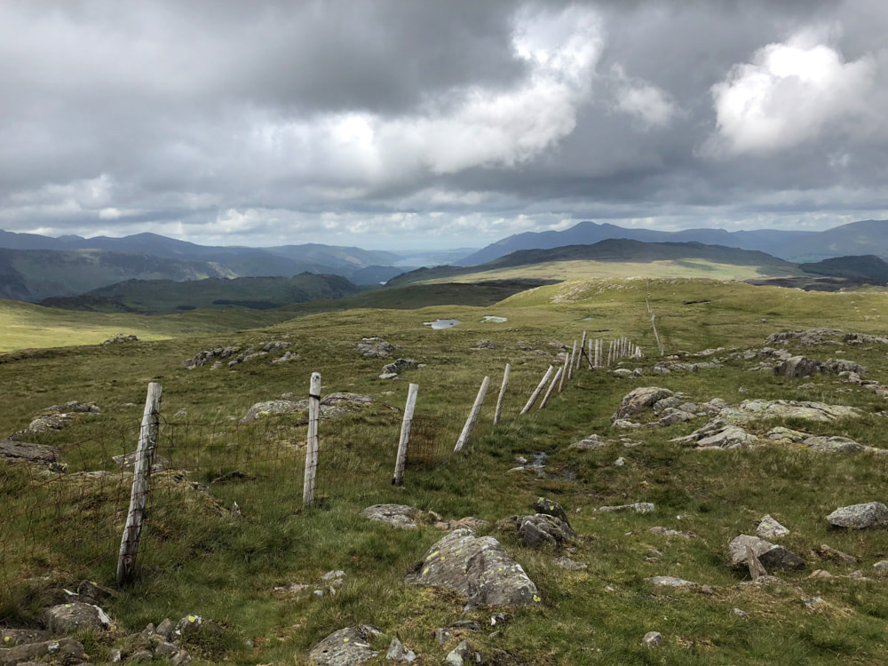
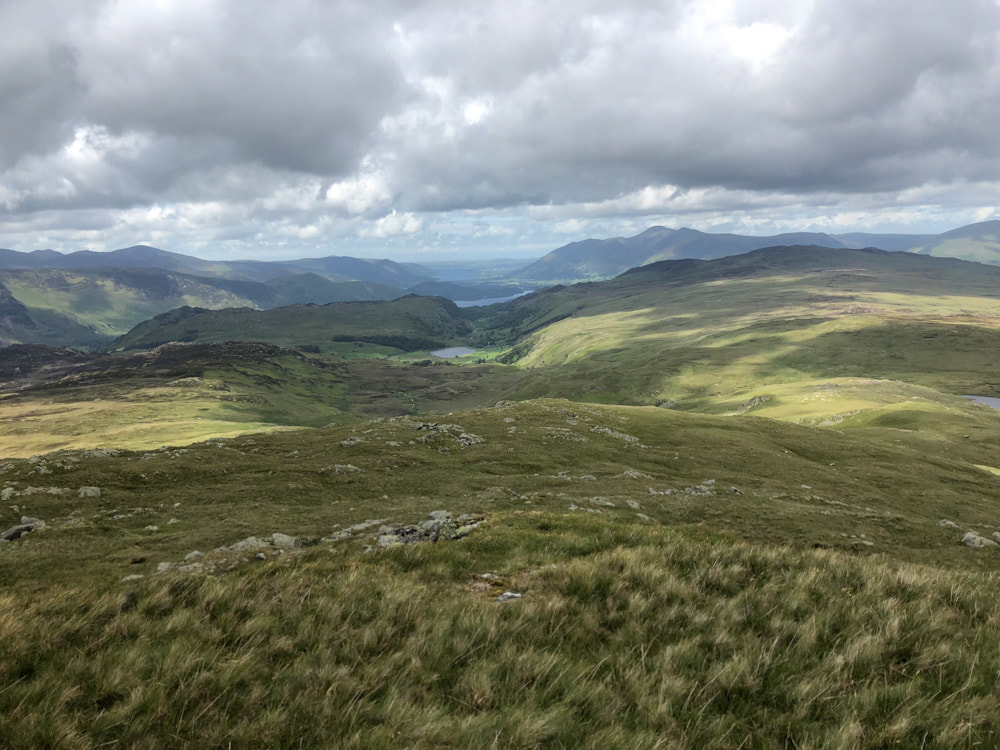
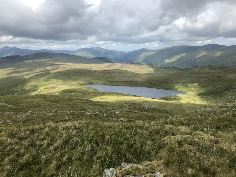
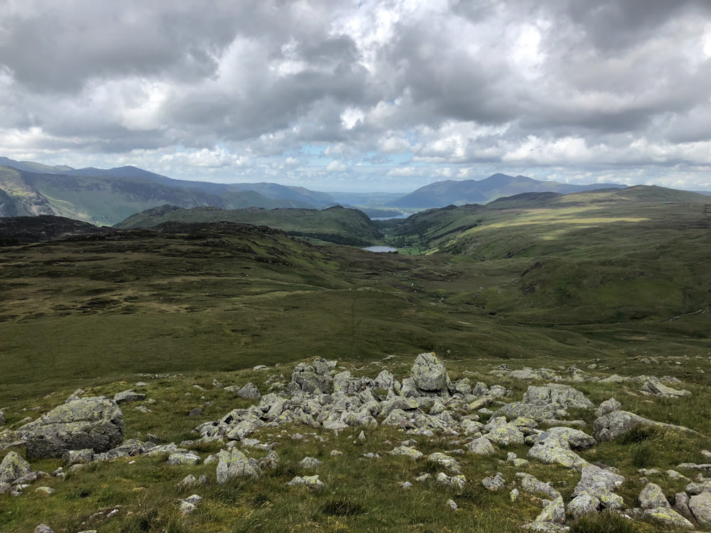
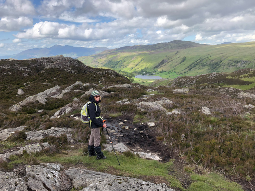
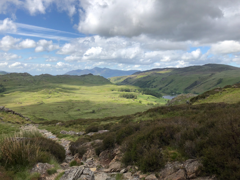
From here we headed south on a boggy and sometimes indistinct path, over Middle Crag and Shivery Knot, eventually crossing the main path beyond Blea Tarn. This main path continues east down to Wythburn. We continued south on the more minor track which ascends Standing Crag. The route is rather indistinct once near the top of Standing Crag and it is easy to continue too far east. The route to Ullscarf follows a fence line and from here is well enough marked, once found. Although the top of Ullscarf is more of a high point on a plateau, rather than a distinct summit, the views of the higher ranges all around are extensive and impressive: Hellvelyn range to the east; Windermere to the south; Morecombe Bay to the SW; the Honister pass and surrounding hills to the E; Derwentwater, Bassenthwaite, Skiddaw and surrounding ranges to the north. Returning to the fence line, find a path (not marked on OS maps) which leads NNW from a point where the fence turns a corner. This passes over High Saddle and Low Saddle, with particularly good view from the latter. From Low Saddle find an indistinct path heading NE to the extensively heather-clad area around Dock Tarn (not visible until you get much closer to it), High Crag and Great Crag. The ground on this route is very boggy and it is best not to get too close to Dock Tarn until you have found the footpath to its west. The path heads north and back to Watendlath. We diverted just beyond the tarn to ascend Great Crag. This has two summit cairns, the more southerly being the official top. There are good views of Watendlath Tarn on the good path back to the car park. |
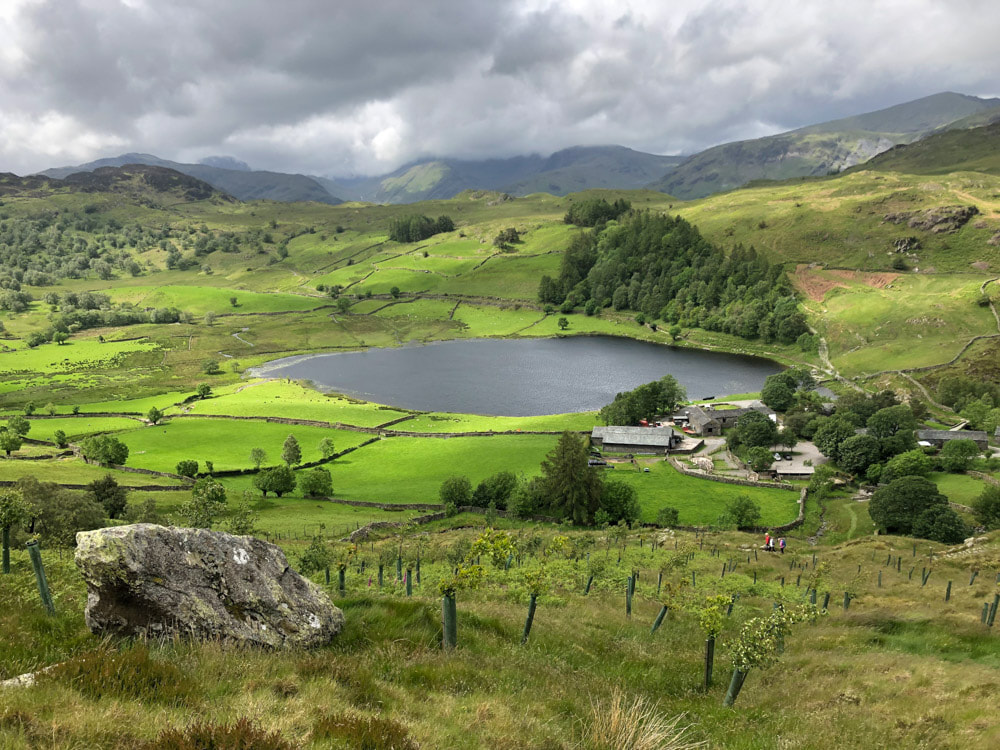
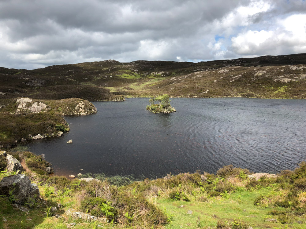
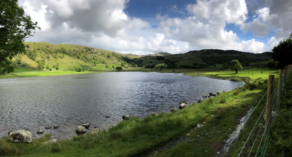
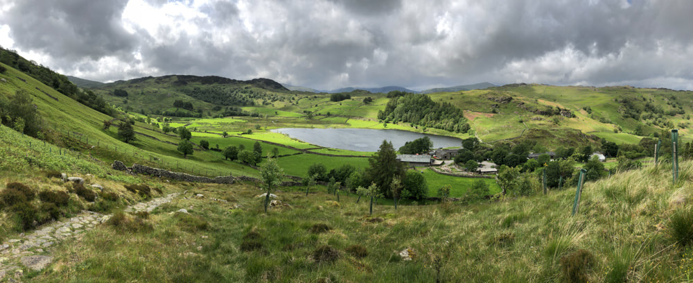
Watendlath Tarn
