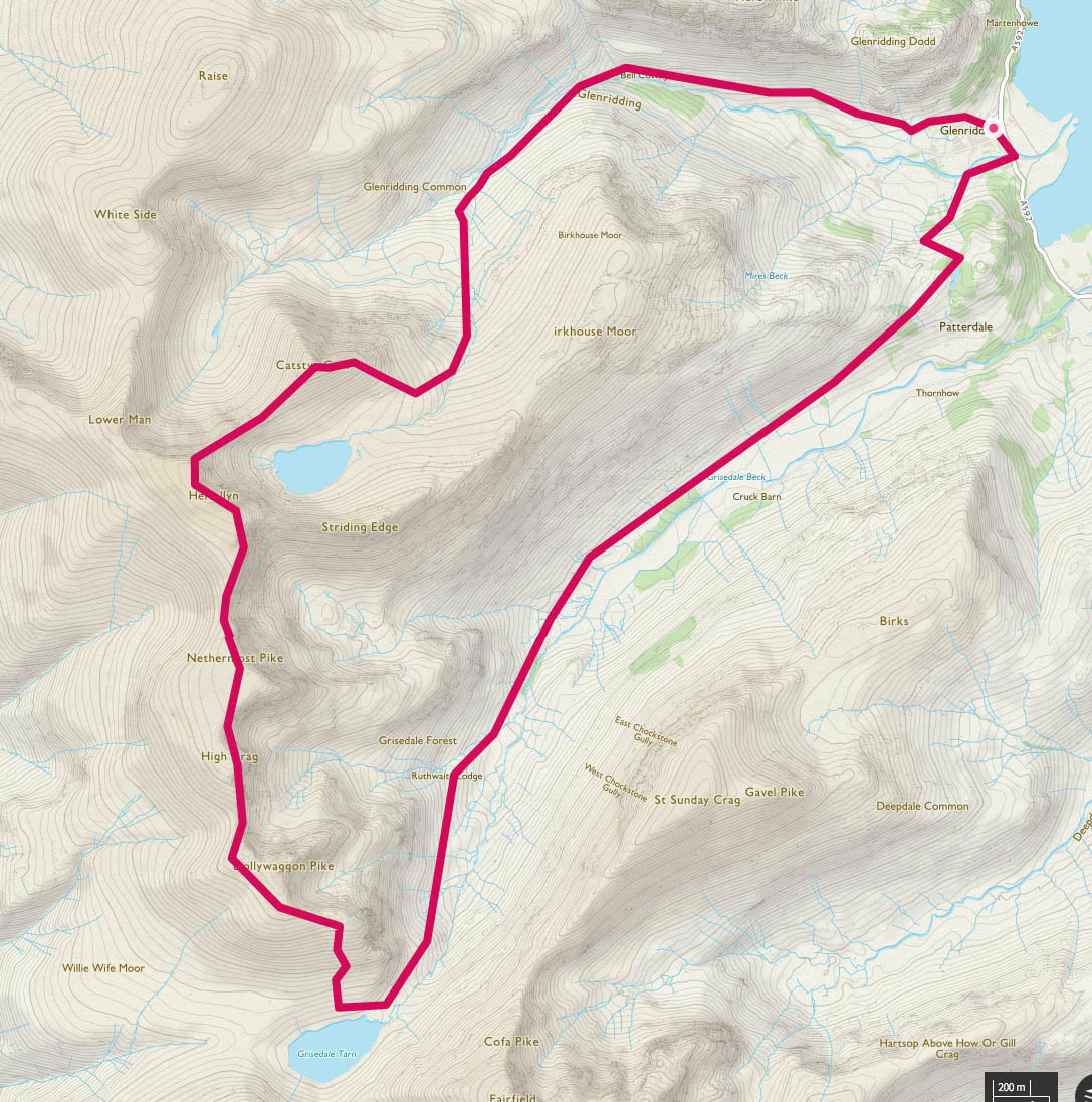
Catseye Cam (890m), Hellvelyn (950m), Nethermost Pike (891m), Dollywagon Pike (858m) - 22/09/2018
Distance 16.4km; Ascent 1034m; Time 5h30m
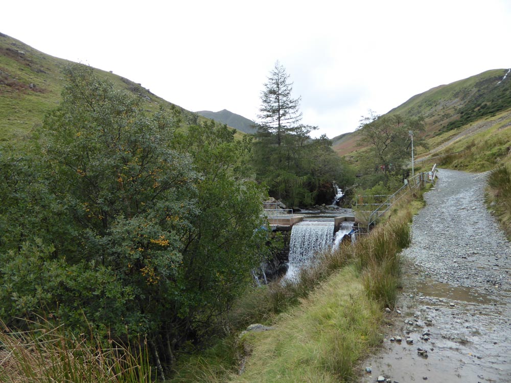
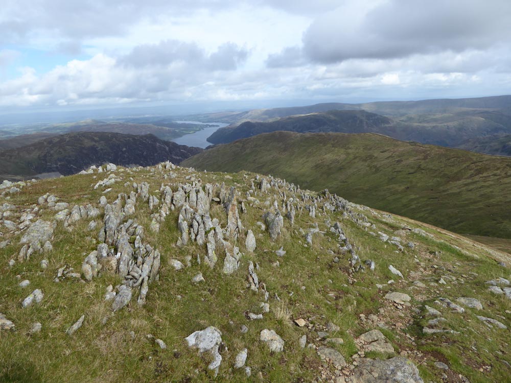
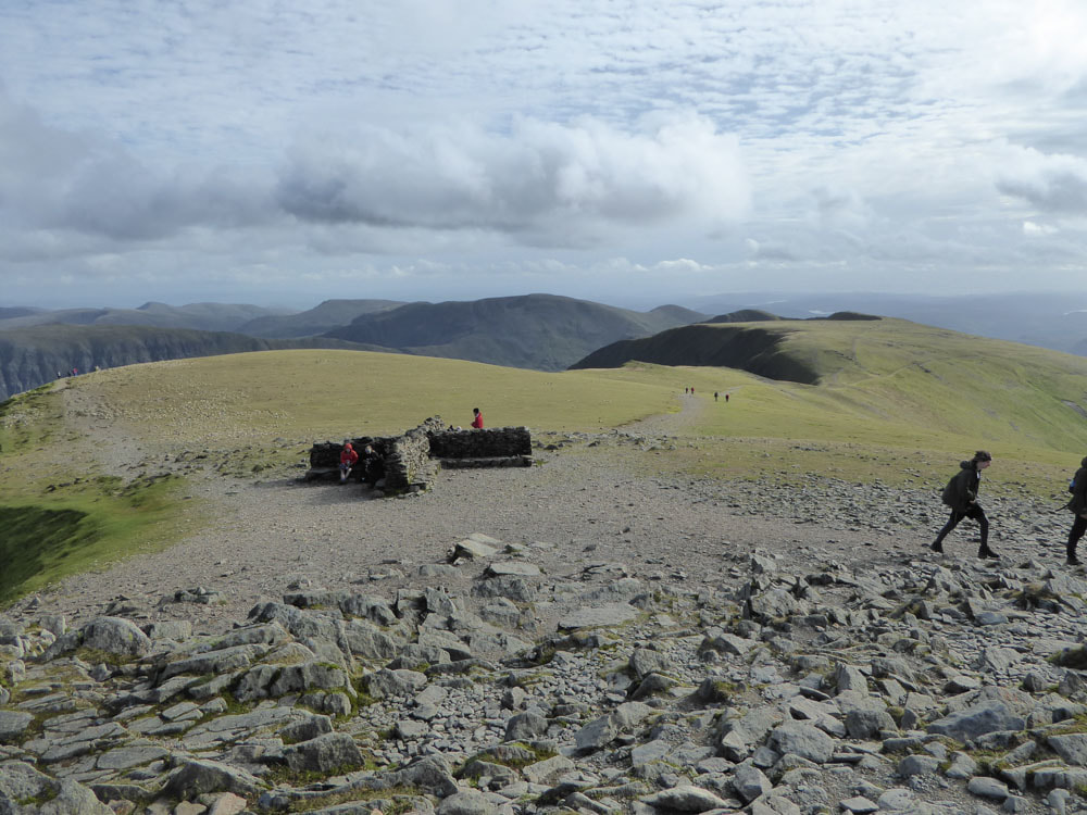
There are many routes by which to ascend Helvellyn, from both the Ullswater and and the Thirlmere side. The 'standard' route is to ascend from Glenridding via Striding Edge and return over Swirrel Edge - a route I have done on several occasions over the years. I had never ascended via Greenside or Swirrel Edge and this is the route I chose today - mostly to take in Catseye Cam on the ascent. From the big pay and display car-park in Glenridding, I followed the signs to Greenside and ascended the track past the Youth Hostel. Soon after the youth hostel a footbridge takes the path to the south side of the beck and the ascent follows Red Tarn beck. The main path heads straight for Swirrel Edge and the turn off to ascend via Catseye Cam is poorly marked - it occurs soon after Red Tarn comes into view. There are great views of the Helvellyn range from the summit and all along the route.
Click on an image below to enlarge and scroll through
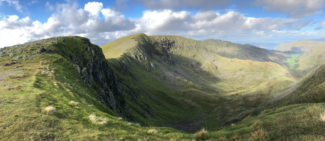
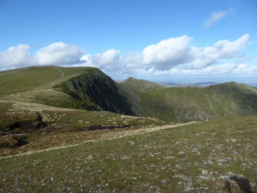
Looking back over the route from Dollywagon Pike
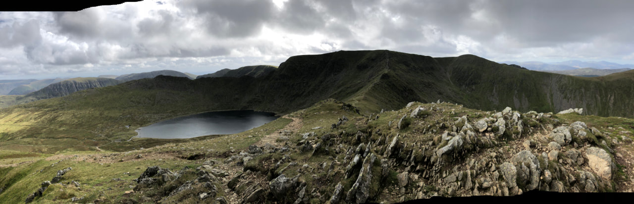
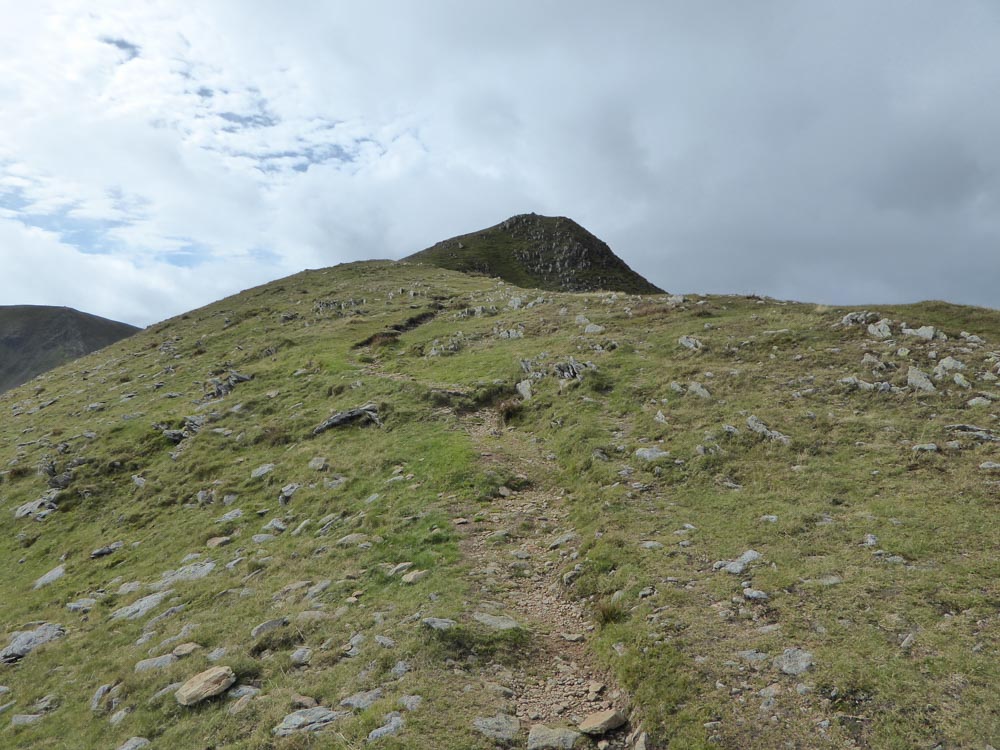
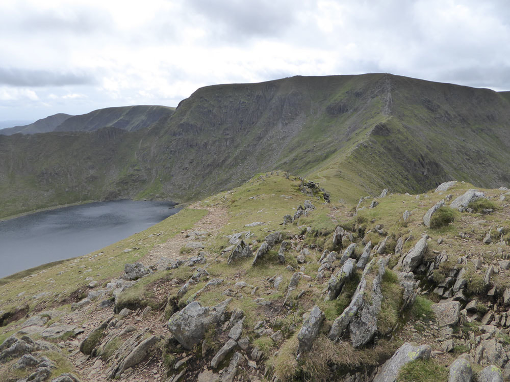
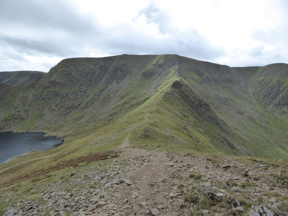
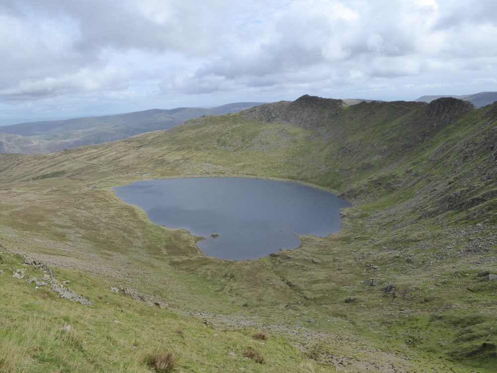
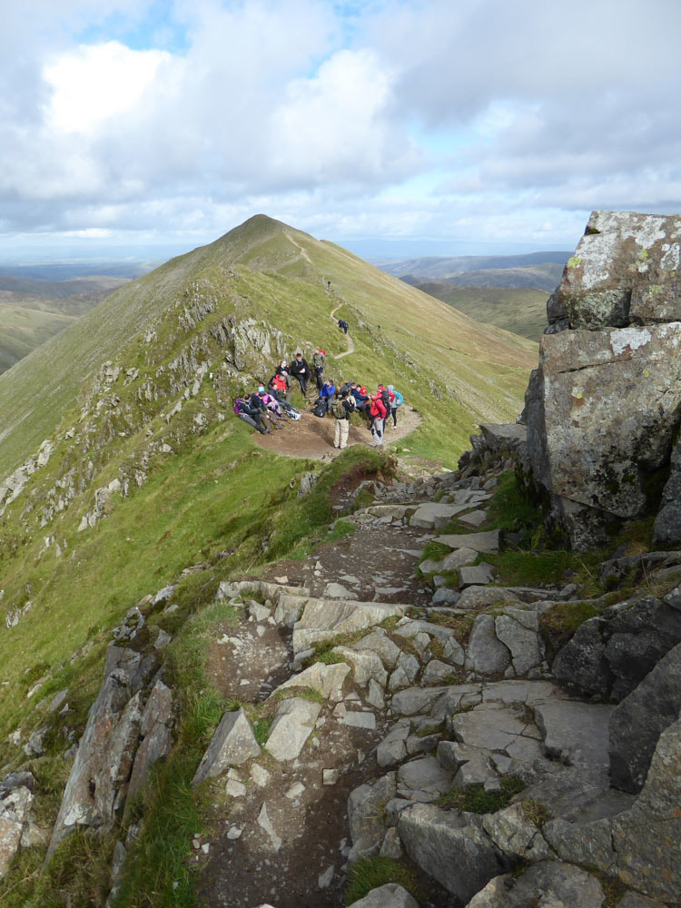
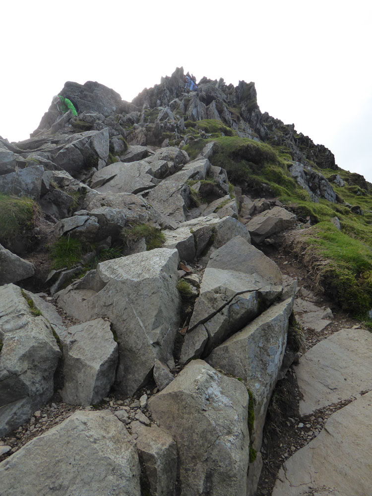
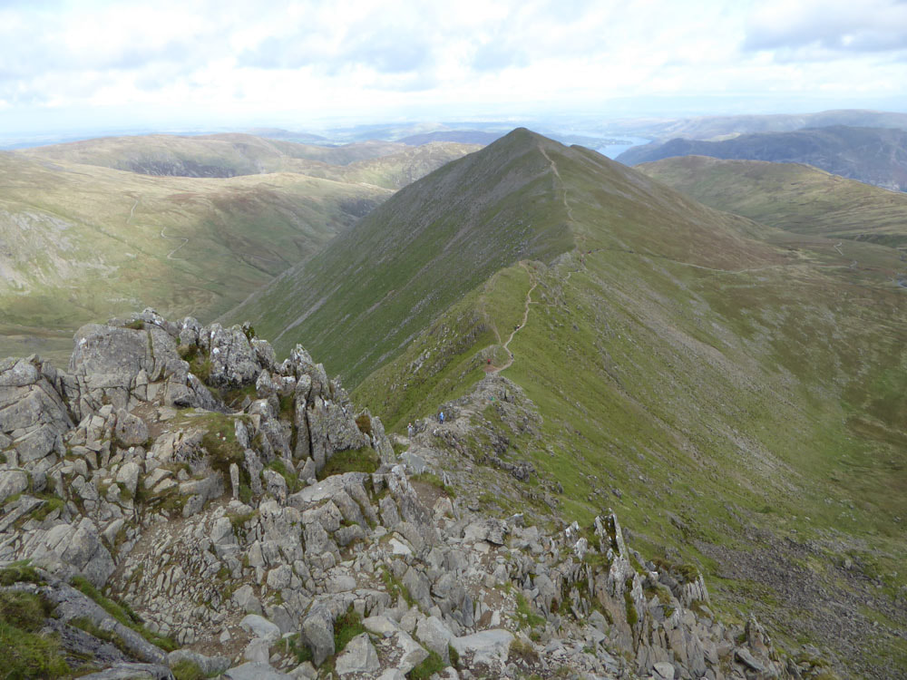
Swirrel Edge looks quite sharp and steep and would be tricky on a wet and windy day, but today it was straightforward, simple non-technical scrambling. Once at the top of Swirrel Edge, the summit of Helvellyn is a very short distance along the edge of the escarpment. From here there are excellent view of Red Tarn and down along Swirrel and Striding Edges. The route over the plateau follows the edge of the escarpment and takes in Nethermost Pike, High Crag and Dollywagon Pike and is generally easy walking.

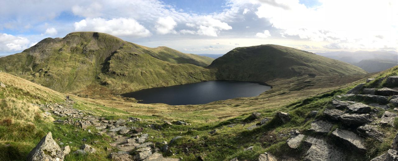
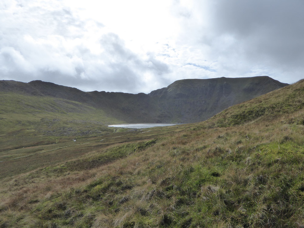
Grisedale Tarn
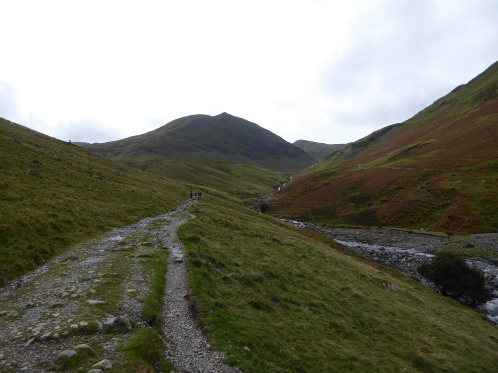
From Dollywagon Pike the descent continues steeply SSE (ie away from Glenridding) to come close to the shore of Grisedale Tarn before turning back north along the west side of Grisedale Beck. This is a long and mostly easy-going route. There is a sting in the tail as there is a further ascent to reach Lanty's Tarn before descending all the way back down to the car park.
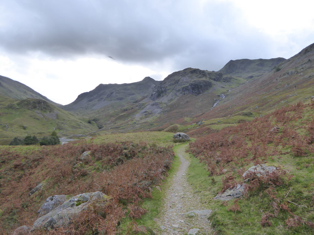
Looking back up Grisedale Beck
|
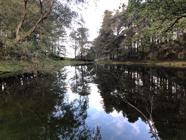
Lanty's Tarn
|
